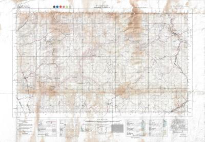
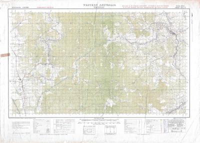
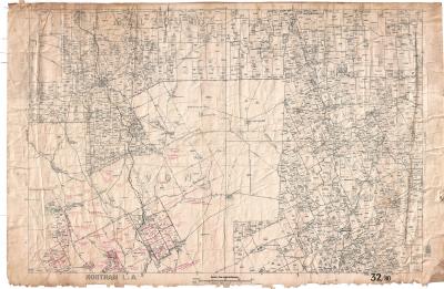
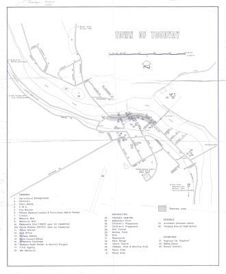
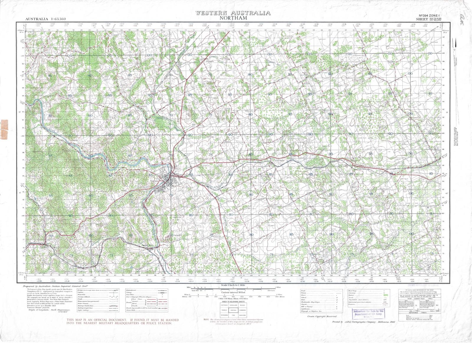
CASTRAL / TOPOGRAPHIC MAP: NORTHAM TO SOUTH TOODYAY
1923Mixed cadastral/topographic map of Northam and South Toodyay.
Reproduction created by the Australian Section of the Imperial General Staff and is dated to 1942, showing topography, vegetation types, waterways in addition to lots and property boundaries, as well as roads, railway lines, tracks and some farm buildings.
Scale 1 inch to 1 mile.
Printed on paper with coloured inks and shows yellowing from age, as well as minor tears along the margins and creases at the corners. The map is slightly creased as it has been previously stored in a folded state however the map is considered to be in good condition.
This is one of a collection of five cadastral maps of the Avon region accessioned into the museum collection in 2012 (under accession numbers 2012.42 - 2012.46 inclusive). It is unknown how these five maps came to be located in the Museum Workshop however it is assumed they were once used by the Shire’s Planning Department and then donated.
Details
Details
Prepared by Australian Section of Imperial General Staff
With stamp "Authorised for Sale by the Department of the Army. Price 2/-" [2 shillings]
Prepared by Australian Section Imperial General Staff.
The framework of this map depended upon the Main Geodetic Triangulation of W.A. supplemented by topographical triangulation carried out by the Australian Survey Corps.
The value of the items considered for accession lies in their research value as dated maps of land boundaries, farm buildings, tracks and rail lines for areas of the Avon region from 1942-1958. While these items are only of local significance, they are considered especially valuable in providing information for historical researchers in surrounding areas as well as Toodyay.
Copyright and Reference
Copyright and Reference
More items like this
Other items from Shire of Toodyay
-
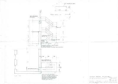
DEVELOPMENT PLAN CONNOR'S MILL
-
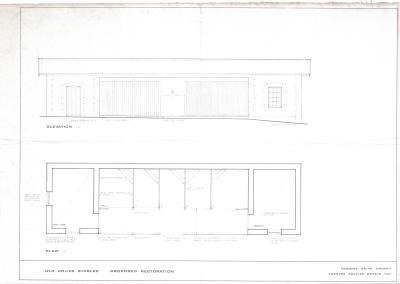
PROPOSED RESTORATION PLAN FOR NEWCASTLE POLICE STABLES, TOODYAY
-
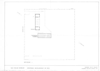
DEVELOPMENT PLAN, POLICE STABLES
-
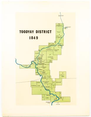
MAP TOODYAY DISTRICT 1849
-
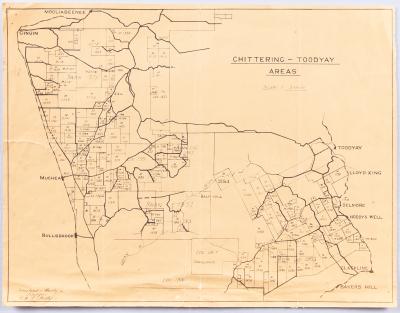
AVON SETTLEMENT MAP
-
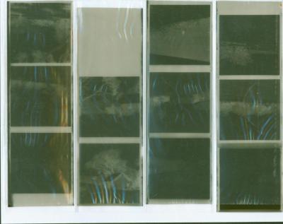
NEGATIVES, HISTORIC BUILDINGS
-
ALBUM; WEST TOODYAY BRIDGE OPENING CEREMONY

-
LEAP ALBUM, 1993

-
NEGATIVE IMAGES X 11, TOODYAY PUBLICITY

-
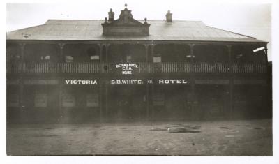
VICTORIA HOTEL, TOODYAY 1920/30
-
DONEGAN'S COTTAGE RESTORATION
-
POWER STATION MACHINERY AT CONNORS MILL, TOODYAY
Scan this QR code to open this page on your phone ->