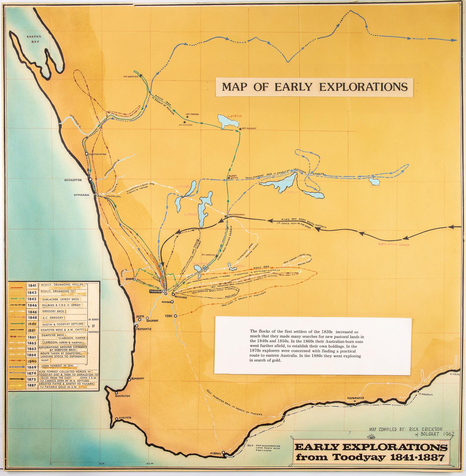
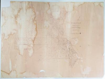
WESTERN AUSTRALIA EXPLORATION MAP
Hand-painted map of WA's midwest and south, showing a number of exploration routes that used Toodyay, Bolgart and Northam as launching points.
Explorations include those by Scully, Drummond, Gregory Bros, Dempster Bros, Forrest Bros and Austin.
Also shows Giles' route from the east.
There is a title, legend and a brief explanation panel, which were created with a dry Lectraset transfer.
Map is hand-painted over air brushed background.
The map was painted onto canvas board and several of the legend labels have either fallen off or are in danger of doing so, but otherwise the map is in excellent condition.
It should be noted however that the map was once glued to a surface, and traces of this glue still adhere to the back.
Some small labels which had been glued over existing text (presumably after the map was originally made) have become separated from the map.
A label from an exhibition at the Newcastle Gaol about explorers (dating from possibly the early 2010s) remains affixed.
It is unknown if this map was drawn by Rica Erickson herself, but this may be possible as Rica was noted as a talented artist. It is assumed that this map was produced in the 1960s as part of the Newcastle Gaol’s development as a museum and was later relocated to the Museum Workshops. The handwriting on this map is similar to that of the Toodyay Settlement Map (2012.56) and while this could not confirm that the maps were drafted by Rica Erickson it does suggest a link between them.
Details
Details
Handwritten note at bottom reads, “Map compiled by Rica Erickson of Bolgart 1962."
The value of the item considered for accession lies in its research value as a map of explorations made from the Avon region in the early years of the Swan River Colony. This item is only of local significance, however it is considered to be a useful map showing how the explorations related to each other. While the map is not to perfect scale, it is useful in that it clearly shows the exploration routes of a number of lesser known expeditions from Toodyay.
More items like this
Other items from Shire of Toodyay
-
NEGATIVES, HISTORIC BUILDINGS
-
ALBUM; WEST TOODYAY BRIDGE OPENING CEREMONY

-
LEAP ALBUM, 1993

-
NEGATIVE IMAGES X 11, TOODYAY PUBLICITY

-
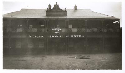
VICTORIA HOTEL, TOODYAY 1920/30
-
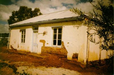
DONEGAN'S COTTAGE RESTORATION
-
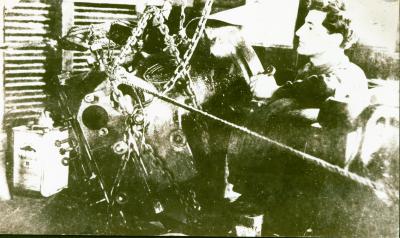
POWER STATION MACHINERY AT CONNORS MILL, TOODYAY
-
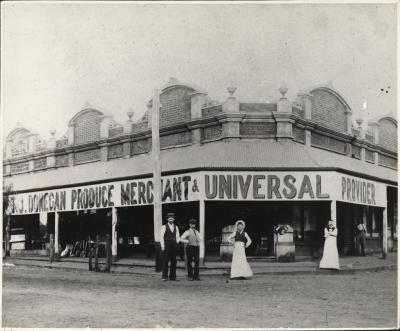
DONEGAN'S STORE, NEWCASTLE, WA 1902
-
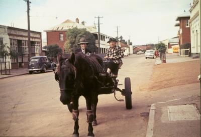
TOMMY & TOTTIE FERGUSON, STIRLING TERRACE, TOODYAY
-
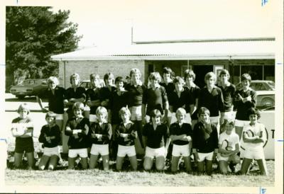
TOODYAY JUNIOR FOOTBALL TEAM
-
TOODYAY AERIAL PHOTOS X 14, 1977
-
BACK TO TOODYAY SCHOOLS DAY