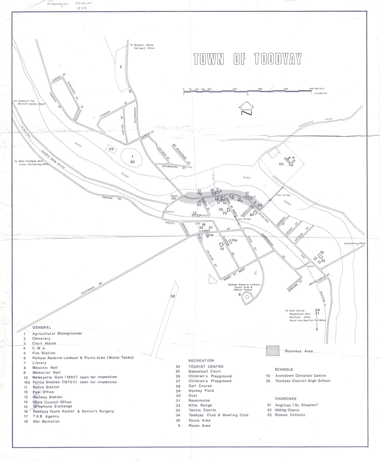
TOODYAY TOWN MAP 1989
1989Tourist map of Toodyay townsite.
Showing a simplified line map, with position of buildings marked along Stirling Terrace.
Includes Toodyay Memorial Hall, Connor's Mill, hatched 'business district'
Also of note on this map is the Catholic precinct still known as 'Avondown Christian Centre' and the configuration of the old Toodyay District High School.
It is unknown who this map was produced by, but it is likely to be the Toodyay Tourist Council.
It is also unknown how this item was relocated to the Museum Workshops
Details
Details
Handwritten note at top references Moondyne Festival of 1989, 'Locations' written on back.
The Toodyay Tourist Centre Inc. coordinated many tourism based activities (including the Moondyne Festival) between 1973 and 1998. After this date the Shire of Toodyay took over its operations.
The value of the item considered is in its research value as a (roughly) dated map of buildings in the Toodyay town site. This item is only of
local significance, however it is considered to be a good snapshot of the town’s development.
While it was a relatively recent map, as a dated object it had local research value both as a tourist map and as a map of the Toodyay town site in the 1980s.
Other items from Shire of Toodyay
-
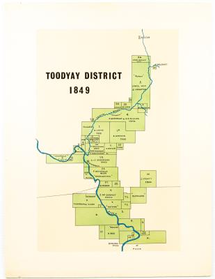
MAP TOODYAY DISTRICT 1849
-
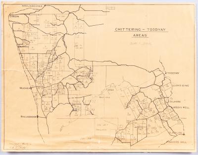
AVON SETTLEMENT MAP
-
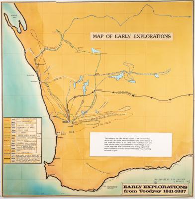
WESTERN AUSTRALIA EXPLORATION MAP
-
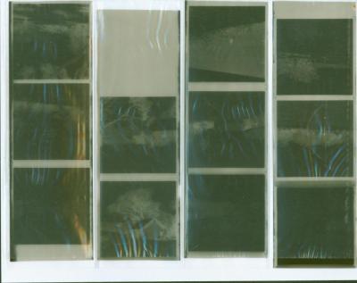
NEGATIVES, HISTORIC BUILDINGS
-
ALBUM; WEST TOODYAY BRIDGE OPENING CEREMONY

-
LEAP ALBUM, 1993

-
NEGATIVE IMAGES X 11, TOODYAY PUBLICITY

-
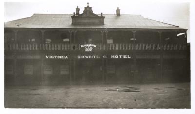
VICTORIA HOTEL, TOODYAY 1920/30
-
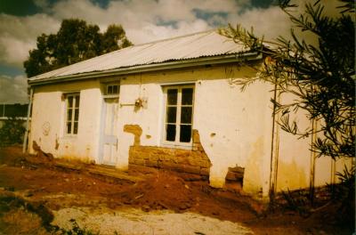
DONEGAN'S COTTAGE RESTORATION
-
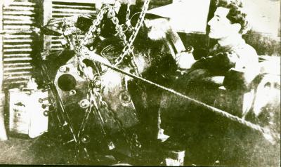
POWER STATION MACHINERY AT CONNORS MILL, TOODYAY
-
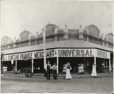
DONEGAN'S STORE, NEWCASTLE, WA 1902
-
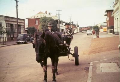
TOMMY & TOTTIE FERGUSON, STIRLING TERRACE, TOODYAY
Scan this QR code to open this page on your phone ->