Shire of Toodyay > Records
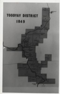
MAP TOODYAY DISTRICT 1849
c. 1974Subcollections
Overview
Reproduction of a hand-painted map showing original land grants of Toodyay district in 1849.
The map has been drawn on in pencil dividing the area between north and south.
There are handwritten names of various landowners.
Title is dry transfer LetraSET.
Printed onto paper and is yellowing from age, but is otherwise still in excellent condition
Historical information
Reproduced in black and white on p.21 of the book "Old Toodyay and Newcastle" by Rica Erickson published by the Toodyay Shire Council in 1974
Details
Details
Registration number
cwa-org-37-2012.56
Place made
Western Australia , Australia
Year
Primary significance criteria
Historic significance
Last modified
Sunday, 25 June, 2023
Completeness
More items like this
Other items from Shire of Toodyay
-
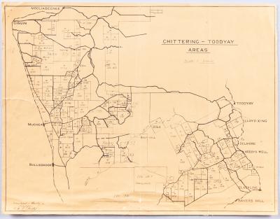
AVON SETTLEMENT MAP
-
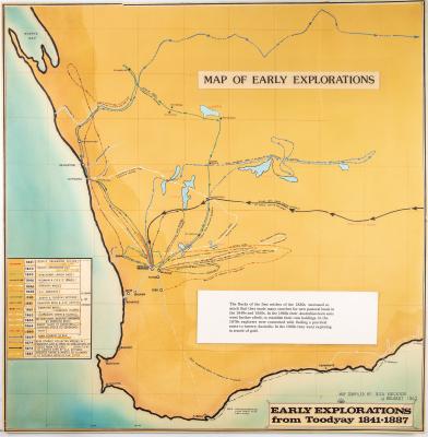
WESTERN AUSTRALIA EXPLORATION MAP
-
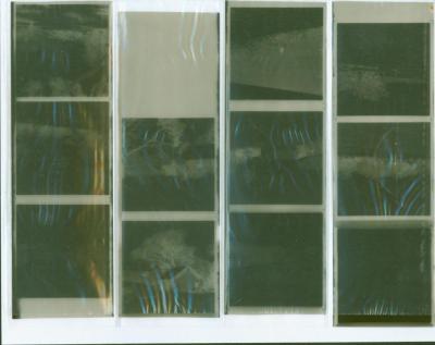
NEGATIVES, HISTORIC BUILDINGS
-
ALBUM; WEST TOODYAY BRIDGE OPENING CEREMONY

-
LEAP ALBUM, 1993

-
NEGATIVE IMAGES X 11, TOODYAY PUBLICITY

-
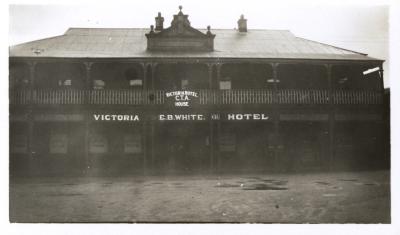
VICTORIA HOTEL, TOODYAY 1920/30
-
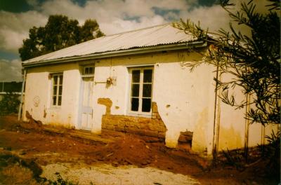
DONEGAN'S COTTAGE RESTORATION
-
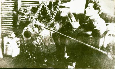
POWER STATION MACHINERY AT CONNORS MILL, TOODYAY
-
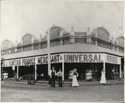
DONEGAN'S STORE, NEWCASTLE, WA 1902
-
TOMMY & TOTTIE FERGUSON, STIRLING TERRACE, TOODYAY
-
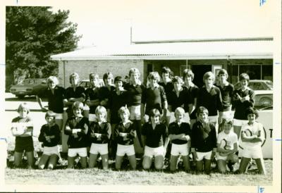
TOODYAY JUNIOR FOOTBALL TEAM