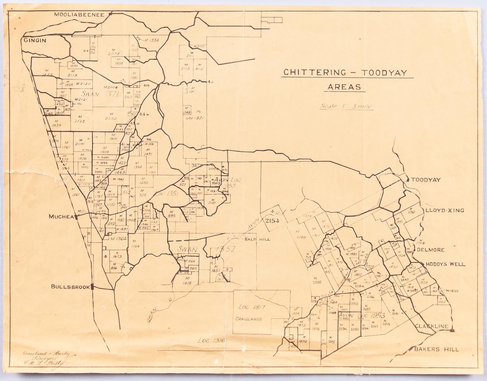
AVON SETTLEMENT MAP
c. 1965 -Reproduction of a cadastral map titled 'Chittering - Toodyay Areas'
Shows property boundaries of Gingin, Bullsbrook, Clackline and Toodyay.
Produced by surveyors Crossland & Hardy.
Orientation of roads and rail suggests 1909-1965 being depicted.
Scale: 1 inch = 3 miles
Believed to be an in-house reference map for C&H
The map is yellowing, with crease lines from being stored folded and showing both fraying and tears, especially along the left hand margin.
The map is considered to be in good to moderate condition.
It is unknown how this map came to be in the Museum Workshop, it is likely that it may have at one time been used by the Planning department of the Shire Administration or by a local historical interest.
Details
Details
Crossland and Hardy
'CML'
Crossland and Hardy is a surveying firm established since 1868, and the map is marked with the initials “CML.”
Enquires with Crossland and Hardy in 2012 failed to turn up the identity of CML, however it was confirmed that this map was a compilation document produced from data available at the Department of Lands (now Landgate) to be used as a reference guide in other projects.
Other items from Shire of Toodyay
-
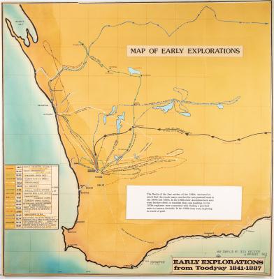
WESTERN AUSTRALIA EXPLORATION MAP
-
NEGATIVES, HISTORIC BUILDINGS
-
ALBUM; WEST TOODYAY BRIDGE OPENING CEREMONY

-
LEAP ALBUM, 1993

-
NEGATIVE IMAGES X 11, TOODYAY PUBLICITY

-
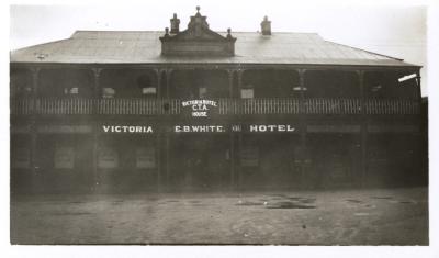
VICTORIA HOTEL, TOODYAY 1920/30
-
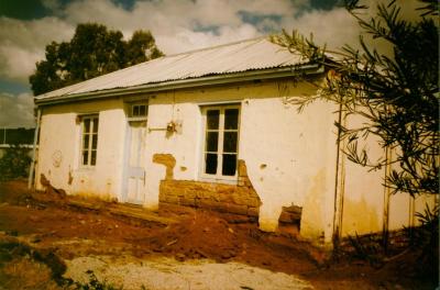
DONEGAN'S COTTAGE RESTORATION
-
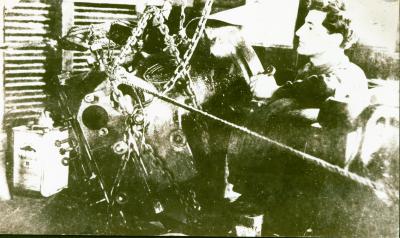
POWER STATION MACHINERY AT CONNORS MILL, TOODYAY
-
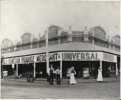
DONEGAN'S STORE, NEWCASTLE, WA 1902
-
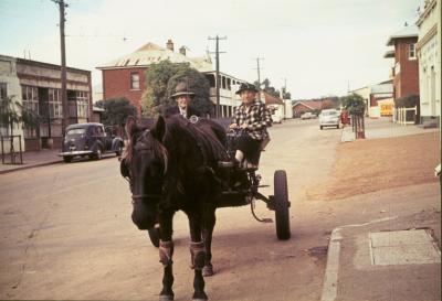
TOMMY & TOTTIE FERGUSON, STIRLING TERRACE, TOODYAY
-
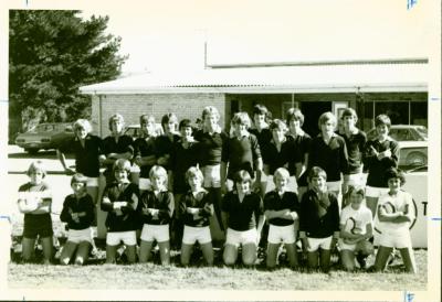
TOODYAY JUNIOR FOOTBALL TEAM
-
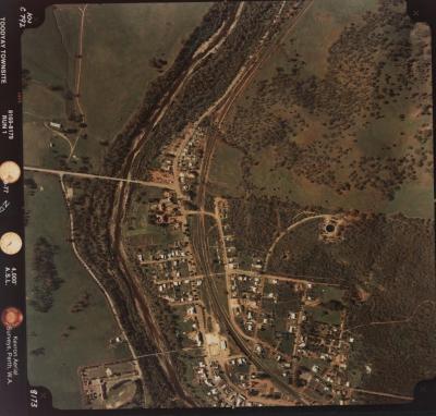
TOODYAY AERIAL PHOTOS X 14, 1977