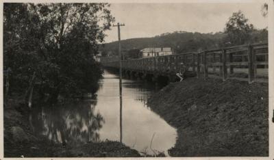
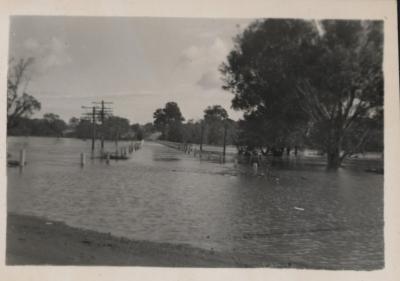
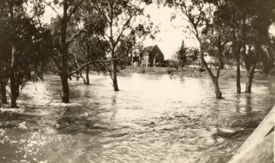
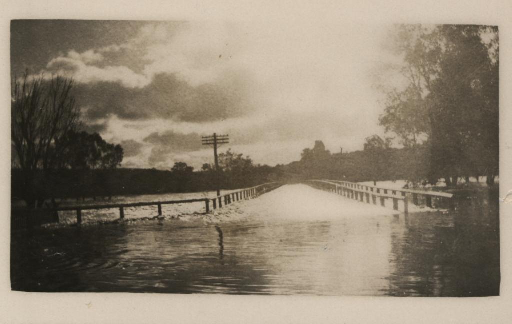
NEWCASTLE BRIDGE AND AVON RIVER IN FLOOD 1930
1930Black and white photo of the Newcastle Bridge, with flood waters of the Avon River over the road section of the bridge.
The photo was taken at the town end, with the bridge fencing still in view.
Footpath section on the right, and trees to the right of that.
Telephone pole to the left side of the bridge. Trees on the left. Cloudy sky. Written in "Old" Register is - "Avon River in Flood under road bridge 1930.
The flood dates for the bridge being covered are 5 July 1930, and again on 9-10 July 1930.
This bridge was demolished (apart from the footings which remain visible above the waterline today) after a new bridge was constructed adjacent to it in 1968.
Details
Details
Written on reverse of photo: Former accession Nos.: CH 894; T.C.H.83:53; written in pencil: "Bridge Davey End 1930".
Open in Google Maps
Nearest geotagged records:
- FLOOD AT NEWCASTLE BRIDGE (0.02km away)
- AVON RIVER IN FLOOD AT NEWCASTLE BRIDGE, TOODYAY 1936 (0.02km away)
- ROAD BRIDGE OVER FLOODED AVON, LOOKING TOWARDS NORTH TOODYAY 1915 (0.02km away)
- AVON RIVER IN FLOOD, TOODYAY, 1930 (0.03km away)
- TOODYAY FLOOD 1952 OR 1953 (0.03km away)
- TOODYAY AVON RIVER FLOOD 1952 (0.04km away)
- AVON RIVER IN FLOOD, 9 JULY 1930 (0.04km away)
- OFFICIAL OPENING OF AVON RIVER BRIDGE, TOODYAY (0.04km away)
- BOARDING HOUSE DURING FLOODS OF 1955 (0.05km away)
- TOODYAY BOARDING HOUSE; FLOODED 1955 (0.05km away)
Nearby places: View all geotagged records »
More items like this
Other items from Shire of Toodyay
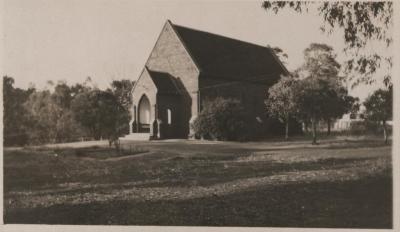
- ST STEPHEN'S ANGLICAN CHURCH TOODYAY
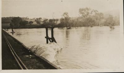
- TOODYAY RAILWAY BRIDGE FLOOD 1930
- AVON RIVER IN FLOOD, TOODYAY, 1930
- AVON RIVER IN FLOOD AND TOODYAY RAILWAY BRIDGE, 1930
- MARTHA DRUMMOND (NEE SEWELLL)
- LENGTH OF LACE EDGING
- CONNOR'S MILL, DERELICT
- MISS DURLACHER
- SHOOTING PARTY BUSHLAND NEAR TOODYAY
- 1912 T MODEL FORD
- FORGING AT EXPERIMENTAL FARM SCHOOL
- EUPHEMIA MACKINTOSH
