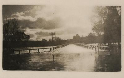
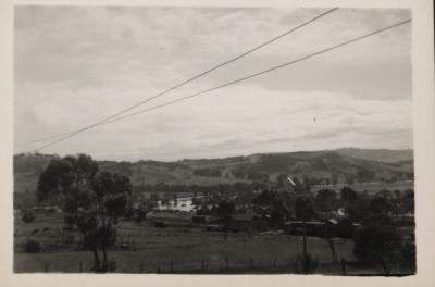
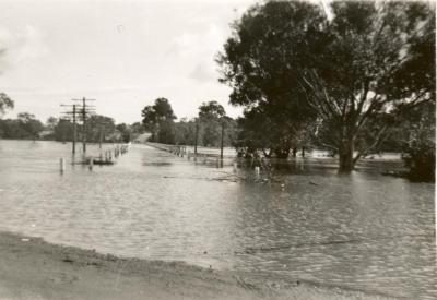
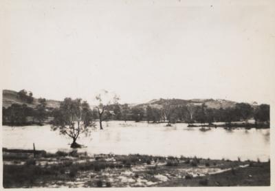
FLOOD AT NEWCASTLE BRIDGE
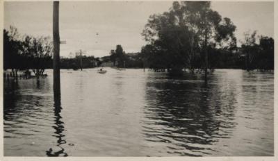
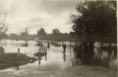
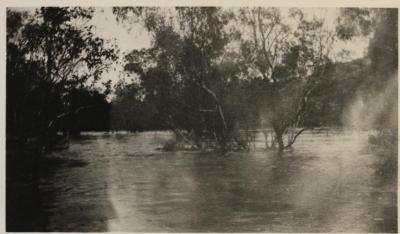
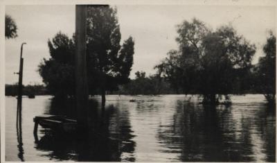
1952A black & white photo of a large expanse of water covering the old Toodyay Bridge, the remnants of which can be seen in the riverbed next to the current Newcastle Bridge.
Telephone line pole tops (on the left-hand side) are above the waterline. The footbridge railing can be seen on the right-hand side. Two buildings can be seen on the opposite bank to the left of the road, which swings away to the right. The point of view may be on the town side looking towards north Toodyay. Trunks of the large trees on the right are partly submerged.
Same image as Shire of Toodyay photo 2001-1780 which has been identified as dating from 1952.
Details
Details
Written on back: "Flood 1936". Stamped on back: 96.
Open in Google Maps
Nearest geotagged records:
- AVON RIVER IN FLOOD AT NEWCASTLE BRIDGE, TOODYAY 1936 (0.01km away)
- NEWCASTLE BRIDGE AND AVON RIVER IN FLOOD 1930 (0.02km away)
- AVON RIVER IN FLOOD, TOODYAY, 1930 (0.02km away)
- AVON RIVER IN FLOOD, 9 JULY 1930 (0.03km away)
- ROAD BRIDGE OVER FLOODED AVON, LOOKING TOWARDS NORTH TOODYAY 1915 (0.03km away)
- TOODYAY FLOOD 1952 OR 1953 (0.04km away)
- TOODYAY AVON RIVER FLOOD 1952 (0.05km away)
- OFFICIAL OPENING OF AVON RIVER BRIDGE, TOODYAY (0.05km away)
- AVON RIVER IN FLOOD AND TOODYAY RAILWAY BRIDGE, 1930 (0.06km away)
- BOARDING HOUSE DURING FLOODS OF 1955 (0.06km away)
Nearby places: View all geotagged records »
More items like this
Other items from Shire of Toodyay
- FLOOD OF AVON RIVER AT TOODYAY IN 1942
- AVON RIVER FLOOD IN NORTHAM IN MARCH 1952
- FLOOD OF AVON RIVER AT TOODYAY IN 1952
- FLOOD 1942
- AVON RIVER IN FLOOD AT NEWCASTLE BRIDGE, TOODYAY 1936
- CIGARETTE CARDS SET OF 28 PEOPLE OF THE WORLD
- RIVER FLOOD 1952
- MARCH 1952 FLOOD OF AVON RIVER
- STANDARD GAUGE RAILWAY LINE, TOODYAY
- STANDARD GAUGE RAILWAY CONSTRUCTION, TOODYAY
- HOUSE AND GARDEN
- STANDARD GAUGE RAILWAY LINE, TOODYAY
