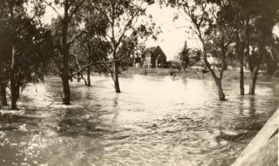
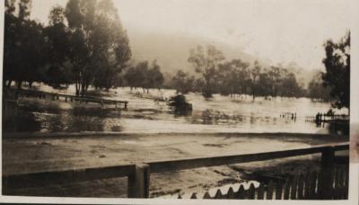
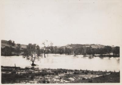
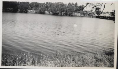
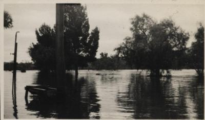
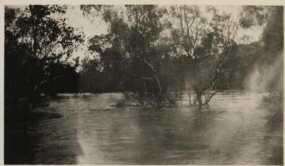
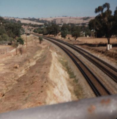
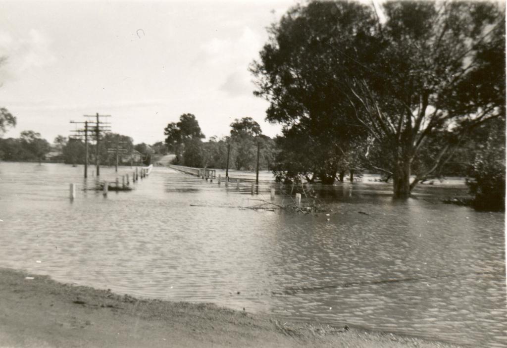
TOODYAY AVON RIVER FLOOD 1952
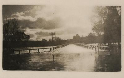
1952Black & white photo of river in flood showing Toodyay Bridge in middle of photo. Guide posts on road leading to bridge.
Electric power poles on left hand side, telephone line poles on the right.
Bridge guide post on both sides, with pedestrian section on the right.
Trees on right and far side of photo and on other bank. Buildings on far left bank.
Details
Details
On back of photo: in blue ink, 'Toodyay flood 1952'; stamped: 170.
Same image as 2001--1773 (which has an inscription on the back dating it from 1936; this date is currently believed to be incorrect)
Open in Google Maps
Nearest geotagged records:
- ROAD BRIDGE OVER FLOODED AVON, LOOKING TOWARDS NORTH TOODYAY 1915 (0.02km away)
- TOODYAY FLOOD 1952 OR 1953 (0.02km away)
- TOODYAY BOARDING HOUSE; FLOODED 1955 (0.03km away)
- NEWCASTLE BRIDGE AND AVON RIVER IN FLOOD 1930 (0.04km away)
- BOARDING HOUSE DURING FLOODS OF 1955 (0.05km away)
- FLOOD AT NEWCASTLE BRIDGE (0.05km away)
- AVON RIVER IN FLOOD AT NEWCASTLE BRIDGE, TOODYAY 1936 (0.05km away)
- AVON RIVER IN FLOOD, TOODYAY, 1930 (0.06km away)
- AVON RIVER IN FLOOD, 9 JULY 1930 (0.07km away)
- OFFICIAL OPENING OF AVON RIVER BRIDGE, TOODYAY (0.07km away)
Nearby places: View all geotagged records »
More items like this
Other items from Shire of Toodyay
- RIVER FLOOD 1952
- STANDARD GAUGE RAILWAY LINE, TOODYAY
- STANDARD GAUGE RAILWAY CONSTRUCTION, TOODYAY
- HOUSE AND GARDEN
- STANDARD GAUGE RAILWAY LINE, TOODYAY
- 28 RED AND 16 BLUE CIGARETTE CARDS
- STANDARD GAUGE RAILWAY CONSTRUCTION, TOODYAY 1964
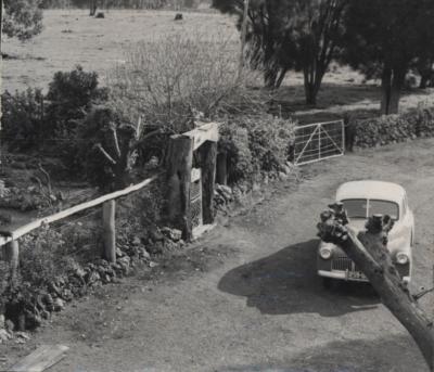
- GARDEN, GATE AND HOLDEN CAR
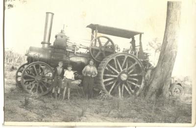
- TRACTION ENGINE
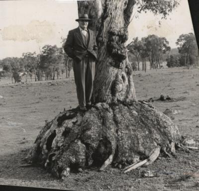
- MAN ON TREE BOLE
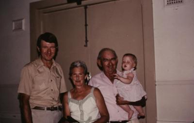
- DOREEN AND JAMES WATSON AND FAMILY
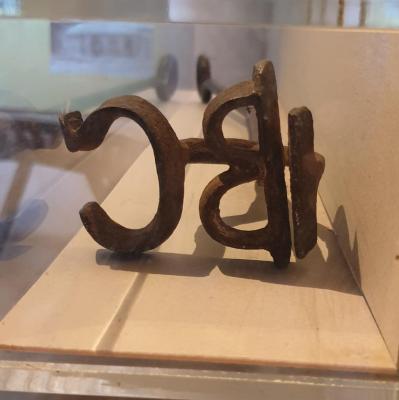
- BRANDING IRON BC
