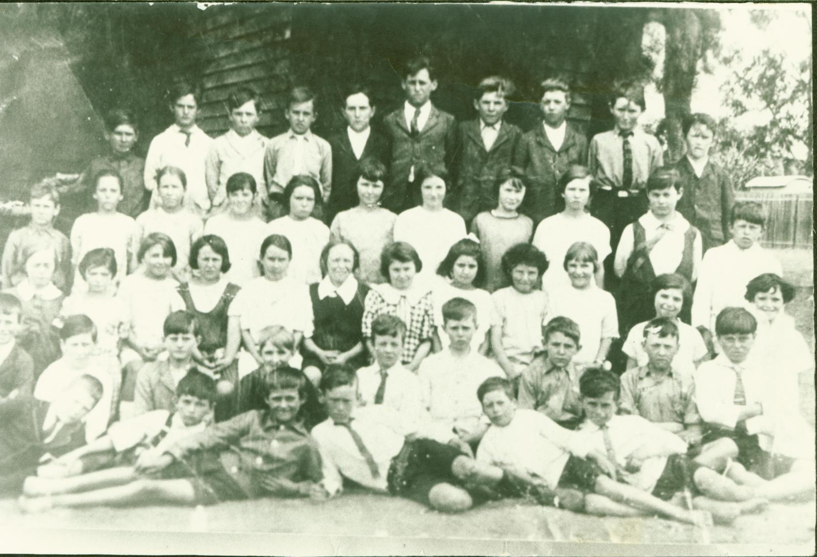
DUKE STREET SCHOOL STUDENTS, EARLY 20TH CENTURY
c. 1900 - 1920B/W photo of a group of 48 school students arranged in 5 rows in front of the Duke Street School.
The photo also shows an open space behind the school with a shed and a fence in the background.
The object is a photocard reproduction of an original, and while it is in excellent condition it shows the light scratches and fading towards the left hand margin that afflicted the source photo.
Previously accessioned; numbering error, therefore re-accessioned in 2012.
The year of this photo in unknown, however the clothing of the school children suggests it was taken in the early 20th century. It is unknown how this photo came to be placed in the general workshop areas away from the photo albums, however it is possible that it was lost during the switchover from the earlier museum accessioning to the new MOSAIC system. The photo may have been put aside to have the number corrected at an earlier date but was never reconsidered.
Details
Details
The back of the photo also has handwritten notation in addition to the incorrect accession number, “TCH 83:161” and “CH 396.”
It also notes “Donor Gwen Lee (3 small required).”Photo shows 5 rows of students standing in front of school, shed and fence in background.
The old Newcastle School, located on Duke Street, was the first purpose built school in the new town site of Toodyay (then known as Newcastle). It operated as a school from 1887 to 1954.
From about 1914, new teaching methods were introduced at this school, located in Duke Street, Toodyay that focused on skills suited to future farmers and country residents, including the use of small agricultural plots. From 1918 the school was classified as a rural observation school.
In May 1919, 27 visiting teachers participated in a "school of instruction", spending two weeks learning about the new teaching methods. This was the largest such event held in the state at the time.
In 1920 the school was declared Western Australia's first consolidated school, taking students from smaller schools in outlying areas. Such consolidation provided more efficient teaching than multiple smaller schools. Initially, West Toodyay School was closed and the children taken to Duke Street each day by bus. The same was done for other schools later; the increased student numbers necessitated addition of another classroom, and a wooden pavilion was moved from Bunbury in 1923.
A Parents and Citizens Association was formed in 1921, and a school board was elected in 1923. Also in 1923, the school was provided with electric light.
By 1949 increasing numbers of students meant a site for a new school was chosen. In 1954 the new Toodyay District High School opened and Duke Street closed.
The value of the item lies in its research value as a visual record of a Toodyay institution.
It is unfortunate that the photo does not depict more of the building or give the names of any of the students; however this does not preclude the possibility of more information coming to light in the future.
The photo is a useful reference and for display of images along the theme of Toodyay’s development in the 20th Century.
Open in Google Maps
Nearest geotagged records:
- NEWCASTLE GOVERNMENT SCHOOL, DUKE STREET (0km away)
- STUDENTS AT THE FORMER TOODYAY SCHOOL DUKE STREET SCHOOL AFTER THE TDHS FIRE (0km away)
- A GROUP OF SCHOOL CHILDREN (0km away)
- PUPILS AT TOODYAY SCHOOL DUKE STREET (0.01km away)
- PUPILS AT DUKE ST IN FANCY DRESS COSTUME (0.01km away)
- PUPILS AT TOODYAY SCHOOL DUKE STREET (0.01km away)
- PUPILS & TEACHER AT NEWCASTLE (TOODYAY) SCHOOL DUKE STREET 1908 (0.01km away)
- DUKE STREET SCHOOL 1908 (0.01km away)
- TOODYAY STATE SCHOOL, STANDARD 4 AND 5 CLASS (0.01km away)
- TOODYAY SCHOOL STUDENTS, STD 1 & 2 (0.01km away)
Nearby places: View all geotagged records »
Other items from Shire of Toodyay
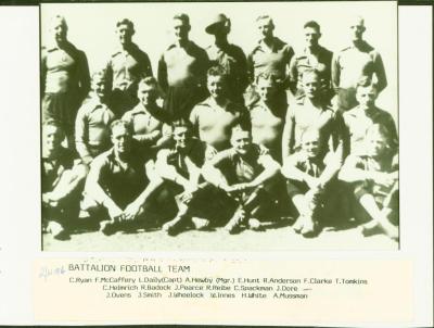
- 2/4TH MACHINE GUN BATTALION FOOTBALL TEAM
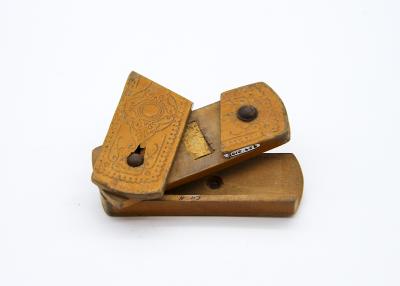
- VESTA PUZZLE BOX
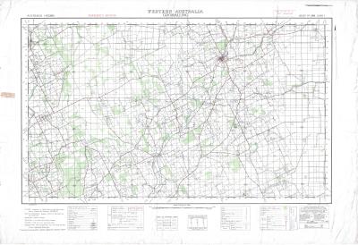
- CADASTRAL MAP: GOOMALLING, BOLGART, TOODYAY
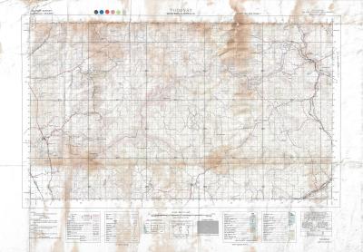
- TOPOGRAPHICAL MAP, TOODYAY TO PEARCE AIR BASE
- CADASTRAL / TOPOGRAPHIC MAP OF TOODYAY & BULLSBROOK
- CADASTRAL / TOPOGRAPHIC MAP OF CULHAM TO SOUTH BINDOON
- CASTRAL / TOPOGRAPHIC MAP: NORTHAM TO SOUTH TOODYAY
- CADASTRAL MAP BOLGART, CALINGIRI AND TOODYAY
- DEVELOPMENT PLAN CONNOR'S MILL
- PROPOSED RESTORATION PLAN FOR NEWCASTLE POLICE STABLES, TOODYAY
- DEVELOPMENT PLAN, POLICE STABLES
- TOODYAY TOWN MAP 1989
