VESTA PUZZLE BOX
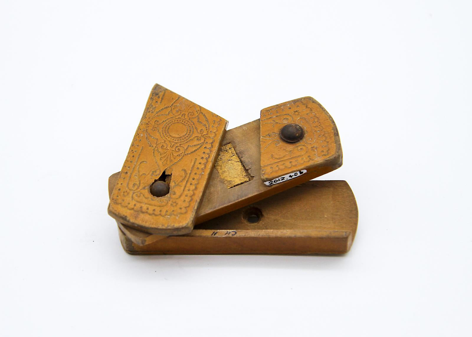
c. 1891Match container with built in striker.
Top constructed of 3 wooden slats - two screwed side by side atop the third. Then at one end, screwed to the base which is the 'box' part where matches were kept.
The top piece of wooden slats is divided into two parts, one of which slides up to uncover the 'striker' part which is made of a sliver of cork, embedded.
The top is decorated with carvings and the middle section (hollow) with owner's name.
Bottom of base is scratched.
The scratches show that it may have been screwed onto something as the scratches are circular appearing around a central hole.
The date and name suggest that the object was owned by one of two men in Toodyay’s history; John McCluney Snr (1835-1906), who arrived in Western Australia in 1859, or his son John McCLuney Jnr (1864-1933). John Snr is noted for being a workman for Rev. Charles Harper, and building one of Toodyay’s earliest Schoolhouses in the Wicklow Hills area in 1868.
Both men were farmers in the Wicklow Hills area of the Toodyay district.
Details
Details
John McCluney Feb 26 1891
Object is in the shape of a tiny pencil case. The top cover swings out to reveal the match striker. The bottom layer, where the matches would be stored, is accessed by a set sequence as follows:-
1) Swing out top cover at right angles
2) Push the whole top piece (with match striker) to the left
3) Swing the second level towards the top lid to reveal bottom section
4) Reverse all these procedures carefully to close box.
So not only a vesta but a puzzle box
The value of the item considered for accession lies not in its representativeness or rarity but its association with a historic Toodyay family.
The wooden object is considered to be only of local significance; however this object could be used to further develop the museum’s displays relating to early Toodyay families and their development of the area.
Other items from Shire of Toodyay
- CADASTRAL MAP: GOOMALLING, BOLGART, TOODYAY
- TOPOGRAPHICAL MAP, TOODYAY TO PEARCE AIR BASE
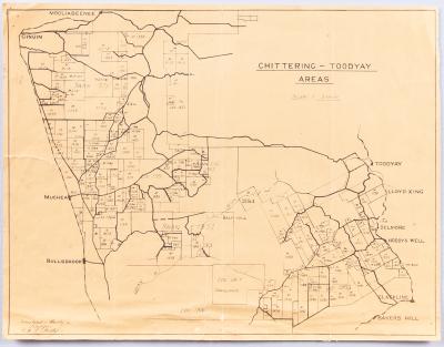
- CADASTRAL / TOPOGRAPHIC MAP OF TOODYAY & BULLSBROOK
- CADASTRAL / TOPOGRAPHIC MAP OF CULHAM TO SOUTH BINDOON
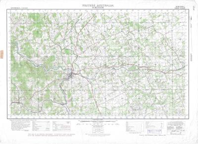
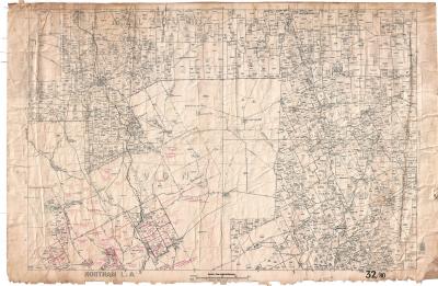
- CASTRAL / TOPOGRAPHIC MAP: NORTHAM TO SOUTH TOODYAY
- CADASTRAL MAP BOLGART, CALINGIRI AND TOODYAY
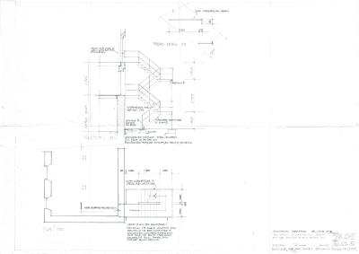
- DEVELOPMENT PLAN CONNOR'S MILL
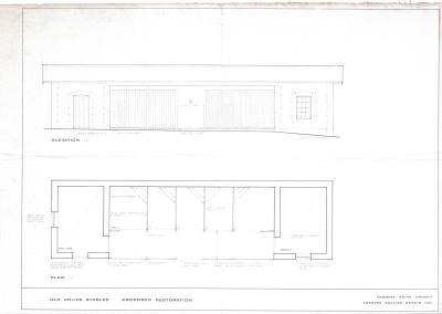
- PROPOSED RESTORATION PLAN FOR NEWCASTLE POLICE STABLES, TOODYAY
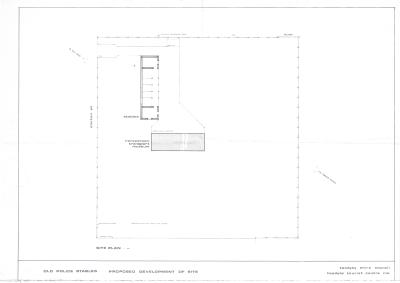
- DEVELOPMENT PLAN, POLICE STABLES
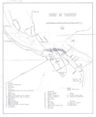
- TOODYAY TOWN MAP 1989
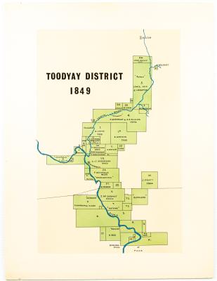
- MAP TOODYAY DISTRICT 1849
- AVON SETTLEMENT MAP
Scan this QR code to open this page on your phone ->
