Shire of Toodyay > Records
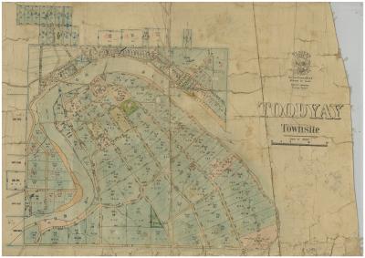
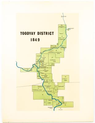
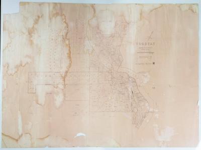
PHOTO OF MAP TOODYAY DISTRICT 1849
1849Subcollections
Overview
Black & white photo of map of Toodyay District in 1849, shows names of properties and owners at the time.
The details on map are very blurred.
Historical information
Original map is held in the Shire of Toodyay's museum collection and accessioned as 2012.56.
This map is also reproduced on p.21 of the book "Old Toodyay and Newcastle" by Rica Erickson, published by the Toodyay Shire Council in 1974.
Details
Details
Registration number
cwa-org-37-2001.1577
Item type
Photographs
Material
Photographic Paper
Width
135 mm
Height or length
90 mm
Year
Primary significance criteria
Historic significance
Last modified
Thursday, 12 January, 2023
Completeness
More items like this

Other items from Shire of Toodyay
-
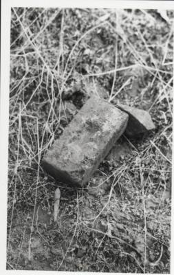
AN OLD BRICK
-
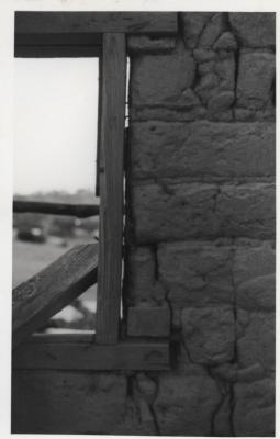
MUD BRICK WALL AND WINDOW FRAME
-
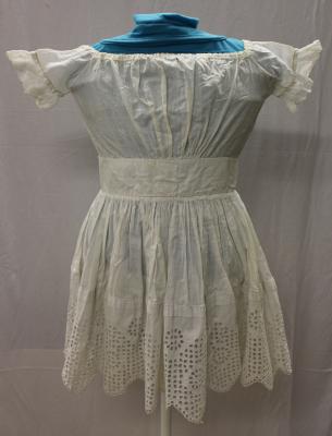
HANDMADE BRODERIE ANGLAISE CHILD'S DRESS
-
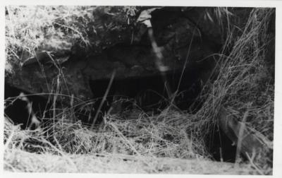
STONE FOUNDATIONS
-
MUD BRICK WALL AND WINDOW FRAMES
-
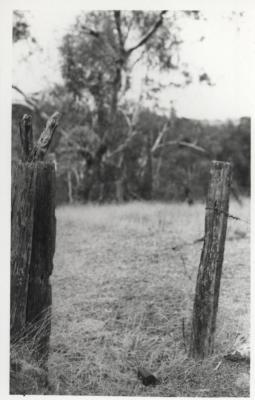
GATE POST AND FENCE POST
-
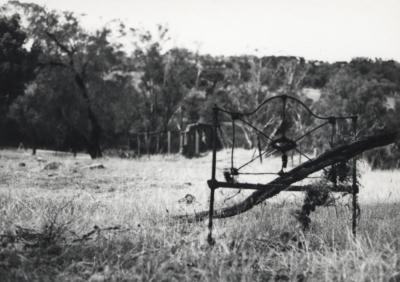
BED HEAD AT SITE OF COLONIAL FARMHOUSE RUIN
-
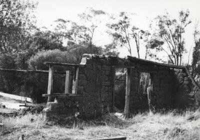
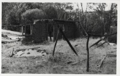
MUD BRICK RUIN
-
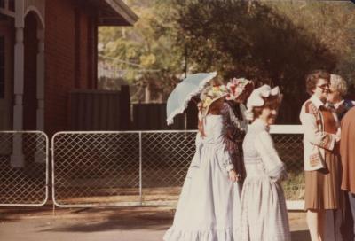
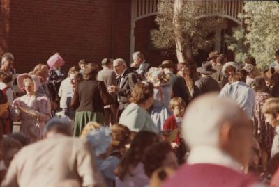
CELEBRATION OF WA'S 150TH ANNIVERSARY
-
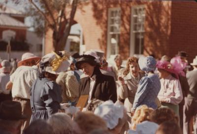
CELEBRATION OF WA'S 150TH ANNIVERSARY
-
CELEBRATION OF WA'S 150TH ANNIVERSARY

-
CELEBRATION OF WA'S 150TH ANNIVERSARY