DEEPDALE; VINEYARDS
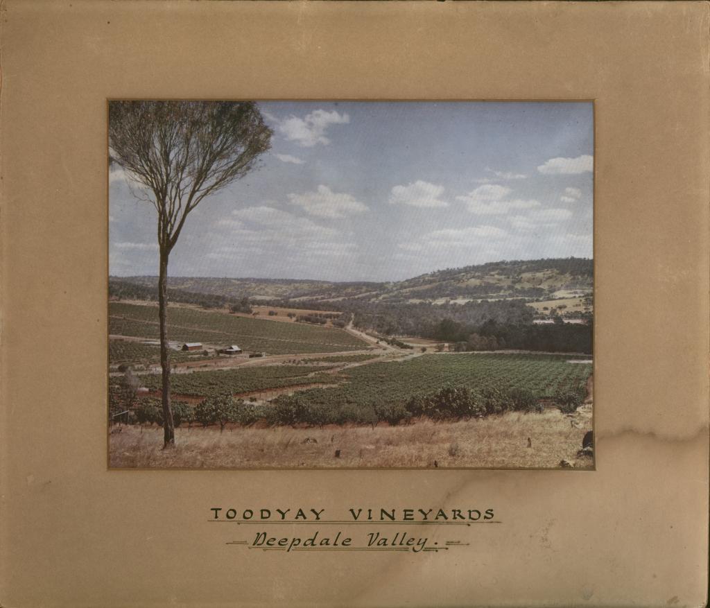
c. 1950 - 1950A coloured landscape photo of the slopes of Deepdale covered with grapevines, beyond which are tree-covered hills through which a dirt road traverses.
To the left edge of photo is a tall tree sparsely covered (possibly a Jam tree) behind which is seen a small dwelling and two outbuildings.
Dry grass is to the lower edge of photo.
River Road (formerly Stevens Street) going through the centre right, with Adams Street going to the left.
Taken from property Rockhaven.
From the Shire of Toodyay Municipal Inventory:
The Rockhaven homestead, built 1830, has associations with the development of the horticulture industry in the 1930s.
The property was originally part of Governor Stirling's grant 'Deepdale'. Edgar Taunton Loviebond, from the Adelaide Hills, acquired the site and made the bricks for the house and a barn on site. The slope in front of the house was terraced with lawns and 300 roses.
When Bert Collett returned from World War Two he and his family bought the property and grew vines, but due to temperance beliefs did not make wine. Subsequently the mud brick barn disintegrated.
Between 1946 and 1973 the vineyards were still productive and dried currents and dried fruit were marketed. In 1974, Collett died and the property was sold.
Details
Details
The buildings at left centre on what was described as Adams Street (in 2001 when the photo was documented) were identified as the Howie/Jokich property. (not confirmed) In 2022 Adams Street does not exist, probably re-named.
A copy of this mounted photograph is also included in the Shire of Toodyay collections: 2001.1087
Vineyards, wine industry
Open in Google Maps
Nearest geotagged records:
- World War 2, Western Australia, Rottnest Island Enlistments, W27415 to WX37034 WHITE, 1942 (0.7km away)
- SANCTA MARIA CHURCH, WEST TOODYAY (1.15km away)
- AVONDALE BUILDINGS (1.17km away)
- AVONDALE, TOODYAY (1.17km away)
- AVONDALE SCENE (1.17km away)
- ALBUM; WEST TOODYAY BRIDGE OPENING CEREMONY (1.29km away)
- QUEENS HEAD INN (DELICENSED) AT WEST TOODYAY (1.35km away)
Nearby places: View all geotagged records »
More items like this
Other items from Shire of Toodyay
- MERCANTILES CRICKET CLUB; PREMIERS
- SHIRE COUNCIL CHAMBERS; TOODYAY
- OLD GAOL MUSEUM
- TOODYAY SHIRE COUNCIL
- TOODYAY SHIRE COUNCILLORS 1973
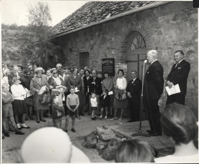
- OPENING OF OLD GAOL MUSEUM (NEWCASTLE GAOL) 1962
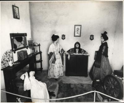
- OLD GAOL MUSEUM; PARLOUR DISPLAY
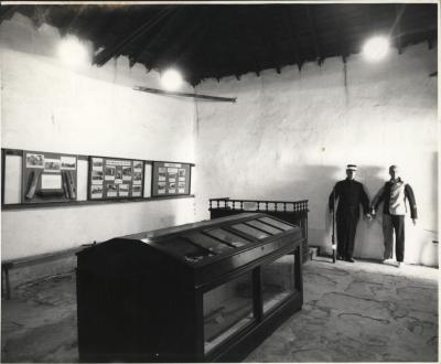
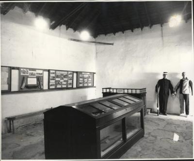
- INTERIOR OF COURTROOM DISPLAY IN NEWCASTLE GAOL
- INTERIOR OF COURTROOM DISPLAY, NEWCASTLE GAOL MUSEUM, TOODYAY
- A ROWING EIGHT
- HAWTHORNDEN HOMESTEAD, TOODYAY
- DIGNITARIES OUTSIDE OLD GAOL [RAILWAY PROJECT EVENT]
![DIGNITARIES OUTSIDE OLD GAOL [RAILWAY PROJECT EVENT]](https://collectionswa.net.au/sites/default/files/styles/thumbnail/public/records/2022-09/37-2001.1403-2001-1403.jpg?itok=7Msy9moa)
