AVONDALE, TOODYAY
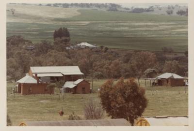
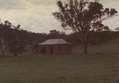
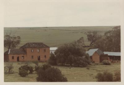
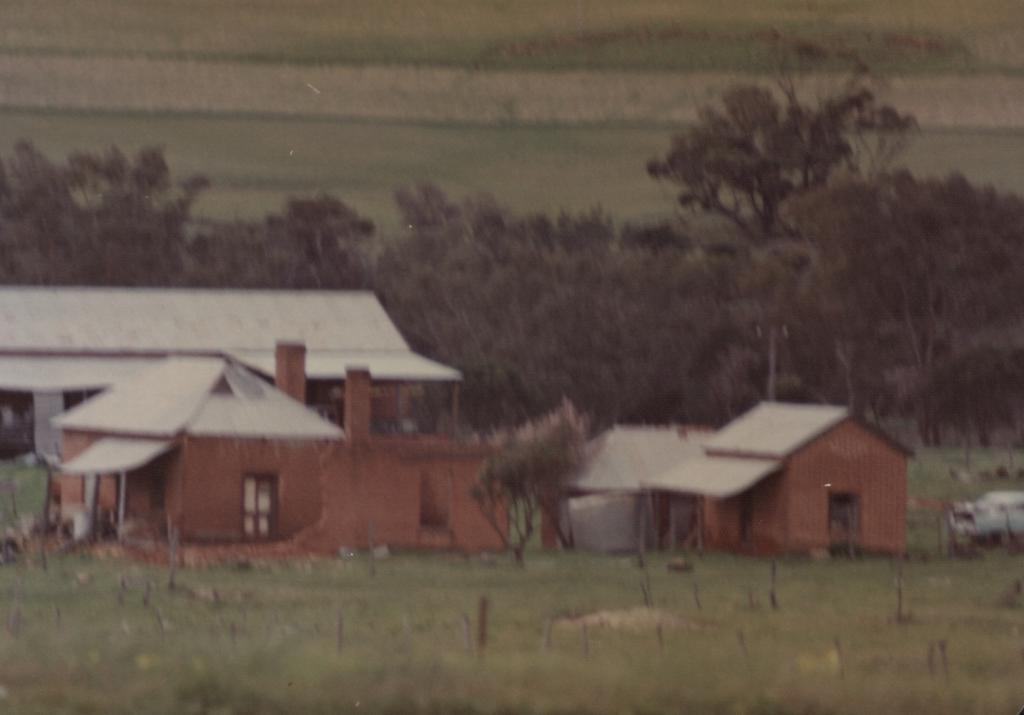
A blurred coloured photo of 3 Flemish bond red brick buildings at Avondale, a property off Railway Road about 4km from Toodyay, formerly the Bull & Stevens winery and vineyards.
There is a large building with galvanised iron roof in left middle ground with 2 smaller brick cottages to the front.
One on the left is a small 2 chimneyed cottage with tin roof, in disrepair.
A smaller one with tin roof and a tank is to the right.
Shrub and paddock are in the foreground and a vehicle is to the lower right near the smaller building.
Trees and paddocks are in the background.
‘In 1859, there were 30 acres of vines in the Toodyay district. On 12 January 1861, sub-Lot 9 was allotted to Thomas Goggins, an Enrolled Pensioner Guard. He and his family left for Adelaide in 1862. By 1864, W Bull in partnership with A Stevens had established Avondale on Sub Lot 9. Viticulture became a prosperous industry in the Toodyay Valley, with the most successful vignerons being Bull and Stevens.
In 1885, more land was acquired, and 40 acres of vines was planted in 1891. In that year, they produced 5000 gallons of wine, a ton of dessert raisins and 4-5 tons of pudding raisins, although demand still exceeded supply. Stimulated by the gold rushes, they planted another 15 acres of vines in 1892 and built a 60 x 22 ft storeroom. They also grew peaches, apples, oranges and lemons. The place was the showplace of the district where distinguished visitors were escorted, and school concerts and children’s parties took place.
In 1893, the first Vine and Fruit growers Association in the colony was formed in Toodyay. Talk of a co-operative winery was opposed by Bull & Stevens who left the Association and formed the Deepdale Farmers and Fruit growers Association. In 1899, Bull & Stevens purchased all the local grapes to make 10,000 gallons of wine and produced 3000 oranges. When a state-wide association was formed in 1900, W Bull was one of the committee members.
(ref: inHerit - State Heritage Office)
Details
Details
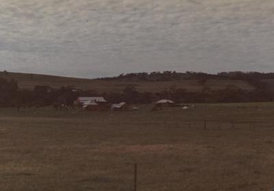
See also Shire of Toodyay photographs 2001.1275 & 2001.1281 for similar views.
Open in Google Maps
Nearest geotagged records:
- AVONDALE SCENE (0km away)
- AVONDALE BUILDINGS (0km away)
- DEEPDALE; VINEYARDS (1.17km away)
- SANCTA MARIA CHURCH, WEST TOODYAY (1.21km away)
- WASHAWAY FROM FLOOD AT MILL FARM (1.46km away)
- DRUMMOND'S MILL, TOODYAY (1.56km away)
- DRUMMOND'S STEAM MILL, TOODYAY (1.56km away)
- QUEENS HEAD INN (DELICENSED) AT WEST TOODYAY (1.75km away)
Nearby places:
View all geotagged records »
More items like this
Other items from Shire of Toodyay
- OLD MINE SITE
- TRANSPORTING HONEY
- SAM COOK AND HONEY DISPLAY, CONNOR'S MILL 1980S
- HONEY PROCESSING DISPLAY, CONNOR"S MILL
- ABANDONED COTTAGE
- LENGTH OF SILK RIBBON
- TOODYAY INFORMATION BAY STRUCTURE, TOODYAY ROAD
- DAM AND A BUSH SCENE
- CONNOR'S MILL INTERIOR GROUND FLOOR
- DRUMMOND GRAVESITE ON HAWTHORNDEN
- NEWGAIN GRANARY
- CONNOR'S MILL (FORMER ROAD BOARD POWER STATION)
