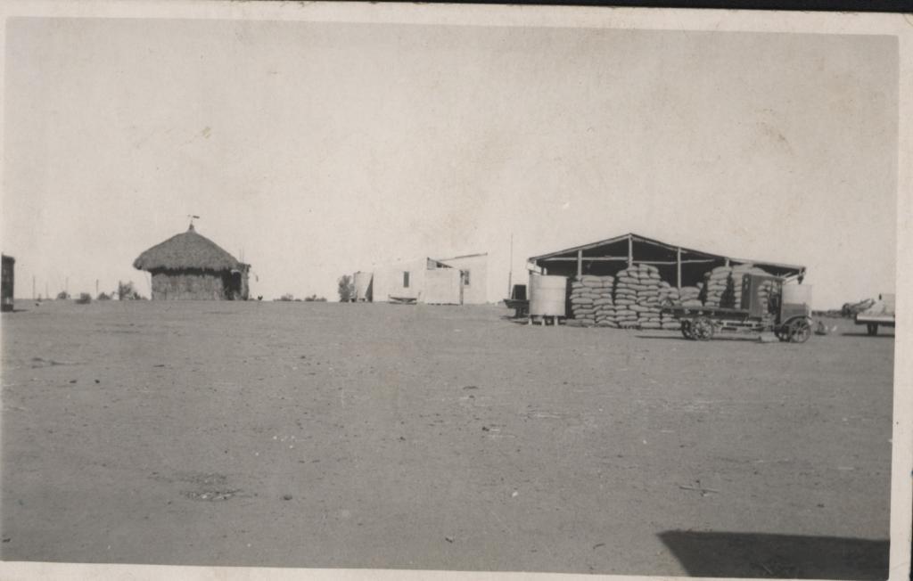
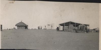
PROPERTY; MANMANNING WHEATBELT, OWNED BY PETER SALVAIRE
A black & white photo of "Manmanning" hay/bagged wheat shed.
A thatched peaked roof enclosed bough shed in between which, in the background, is a sloped roof (?)
Corrugated iron building of two sections, to the left of which is a water tank and small tree.
A water tank is also to the left of hay shed and a very old flat top truck with metal wheels is parked near by.
No information on make of truck. Foreground is bare, open ground.
Manmanning is a small Wheatbelt town in Western Australia in the Shire of Dowerin. It is located 170km north east of Perth, 27km east north east of Wongan Hills and 39km north of Dowerin.
The name of the town first appeared on charts drawn in 1907, and was the Indigenous Australian name of a soak located close to the townsite.
The townsite was originally a railway siding on the Ejanding North line and land was set aside for settlers in 1927. The townsite was gazetted in 1929
Details
Details
The same image has also been reproduced in another photograph held in the Shire of Toodyay collection under accession number 2001.1675
More items like this
Other items from Shire of Toodyay
-
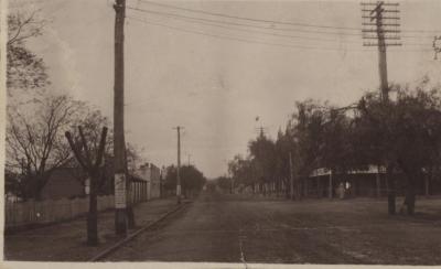
STIRLING TERRACE TOODYAY 1920
-
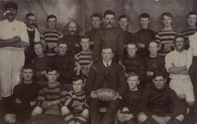
FOOTBALL TEAM
-
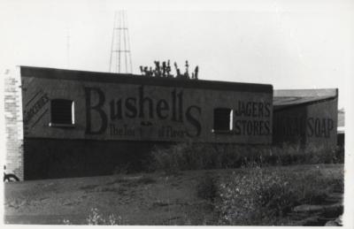
BACK VIEW OF JAGER`S STORE
-
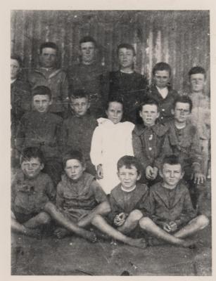
WEST TOODYAY SCHOOL CHILDREN
-
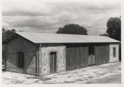
OLD POLICE STABLES, TOODYAY RESTORED
-
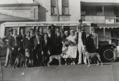
PERTH WHIPPET CLUB IN TOODYAY
-
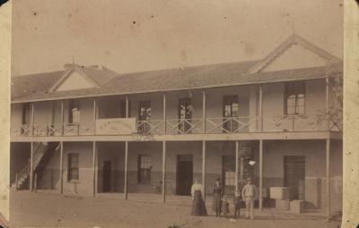
NEWCASTLE HOTEL
-
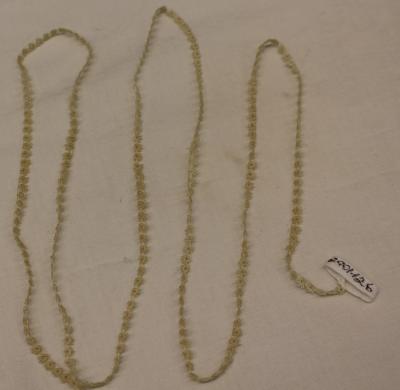
LENGTH OF TATTING
-
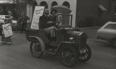
MOONDYNE FESTIVAL (1985), TOODYAY
-
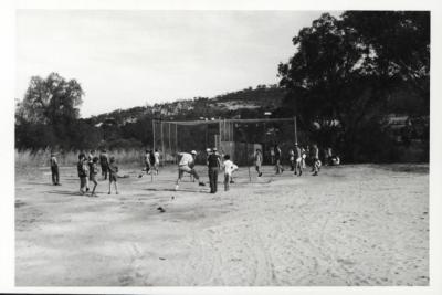
CRICKET NETS AT THE TOODYAY SHOWGROUNDS
-
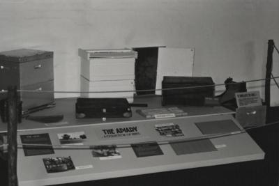
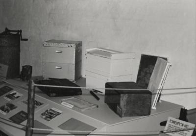
APIARY DISPLAY IN CONNOR'S MILL
-
APIARY DISPLAY, CONNOR'S MILL, INCLUDING A COLLECTION OF HIVES