Links to additional resources
Shire of Toodyay > Records
PROPERTY; MANMANNING WHEATBELT PROPERTY, OWNED BY PETER SALVAIRE
Subcollections
Overview
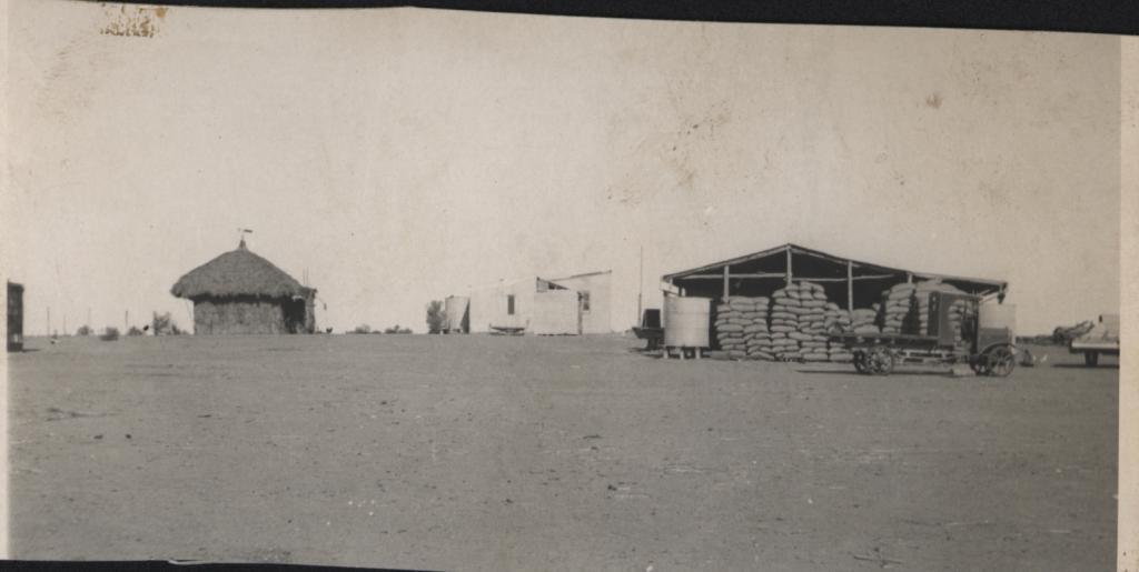
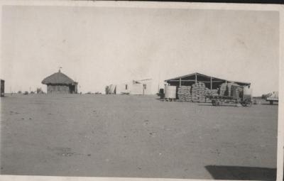
A black & white photo of "Manmanning" hay/bagged wheat shed.
A thatched peaked roof enclosed bough shed in between which, in the background, is a sloped roof (?)
Corrugated iron building of two sections, to the left of which is a water tank and small tree. A water tank is also to the left of hay shed and a very old flat top truck with metal wheels is parked near by. No information on make of truck.
Foreground is bare, open ground.
Historical information
Manmanning is a small Wheatbelt town in Western Australia in the Shire of Dowerin. It is located 170km north east of Perth, 27km east north east of Wongan Hills and 39km north of Dowerin.
The name of the town first appeared on charts drawn in 1907, and was the Indigenous Australian name of a soak located close to the townsite.
The townsite was originally a railway siding on the Ejanding North line and land was set aside for settlers in 1927. The townsite was gazetted in 1929.
Details
Details
Registration number
cwa-org-37-2001.1675
Item type
Photographs
Contextual information
Trimmed photographic print, of another photograph held in the Shire of Toodyay collection: 2001-1252
Primary significance criteria
Historic significance
Last modified
Sunday, 29 January, 2023
More items like this
Other items from Shire of Toodyay
-
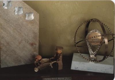
THREE TROPHIES FOR THE TOODYAY WHEELBARROW RACE
-
TOODYAY WHEELBARROW RACE
-
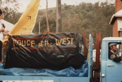
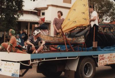
FLOAT IN STREET PARADE
-
SMALL METAL WORLD GLOBE WITHOUT STAND

-
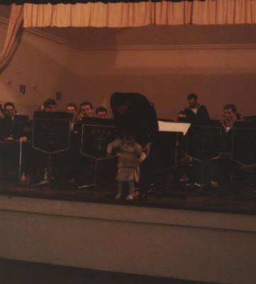
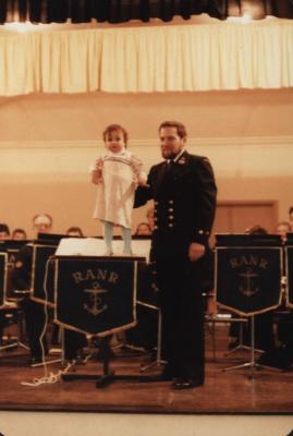
ROYAL AUSTRALIAN NAVAL RESERVE BAND ON STAGE
-
ROYAL AUSTRALIAN NAVAL RESERVE BAND ON STAGE
-
FLOAT IN STREET PARADE, MOONDYNE FESTIVAL
-
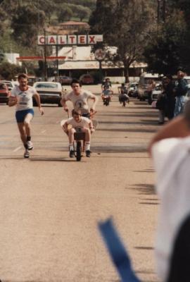
TOODYAY WHEELBARROW RACE
-
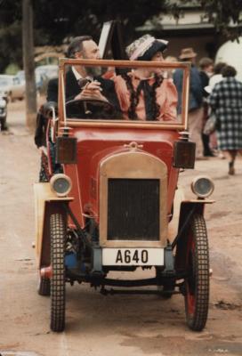
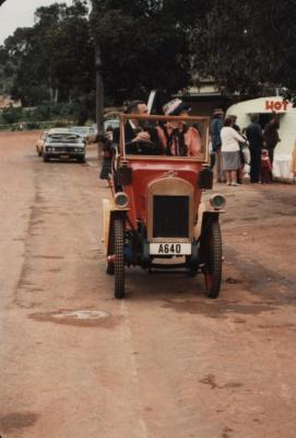
OLD MOTOR CAR AND COUPLE IN PERIOD COSTUME
-
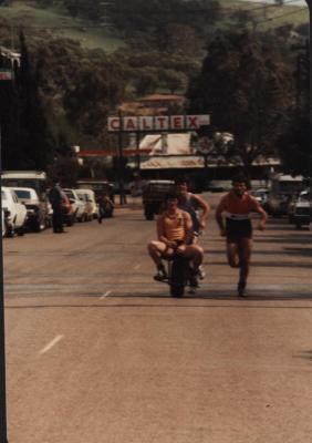
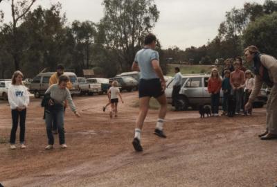
RUNNER IN FOOT RACE AT DUIDGEE PARK
-
RUNNER IN FOOT RACE AT DUIGEE PARK
-
CAR IN STREET PARADE, MOONDYNE FESTIVAL 1985