Albany Historical Society Inc > Records
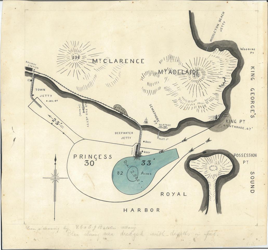
BATELIER MAP OF THE PORT OF ALBANY DREDGED AREA
c. 1904Overview
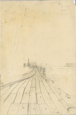
Map shows outlines of land and topographical land relief indications are shown in black fine nib. Shore lines are high-lighted with broad brush dark grey paint. Dredged turning basin is outlined in black ink and filled in with blue. Features that are noted are:- Mtd Clarence & Adelaide, Railway Sta., Town Jetty,Old P&O Jetty (in ruins), Deepwater Jetty with White Star Liner alongside, Semaphore Pt Pilot Jetty, King Pt Lighthouse, Wooding Pt, Middleton BeachJetty, Posession Point. In lower LH corner is a compass quadrant.
Details
Details
Registration number
cwa-org-51-V2007.12
Item type
Artworks
Themes
Material
Ink
Paper
Watercolours
Width
460 mm
Height or length
300 mm
Inscriptions and markings
V.G. & C.J. Batelier
Keywords
ILLUSTRATION
Watercolour
Map
Year
Last modified
Friday, 16 January, 2026
Completeness
Other items by BATELIER, Claude James and Victor George
More items like this
-
PRINTING PLATES, BATELIER BROS, ALBANY, C1930
-
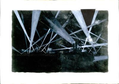
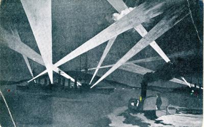
BATELIER BROS "NIGHT IN THE NAVY" POSTCARD , NO. 7.
-
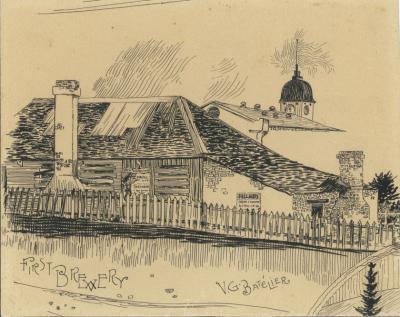
ALBANY'S FIRST BREWERY BY VICTOR GEORGE BATELIER
-
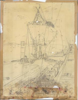
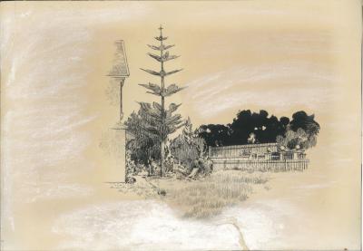
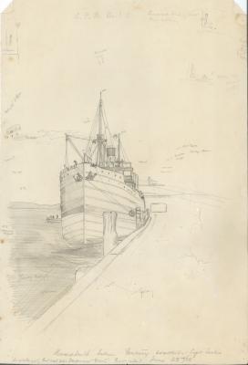
BATELIER SKETCH OF SS CENTURY {CARGO SHIP} AT DEEPWATER JETTY, ALBANY
-
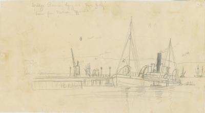
BATELIER SKETCH OF THE DREDGE PREMIER AT THE TOWN JETTY, ALBANY
-
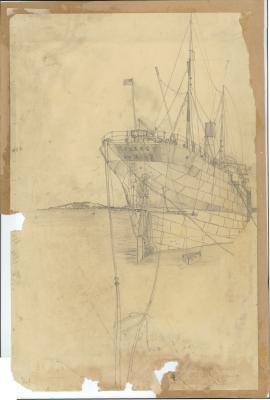
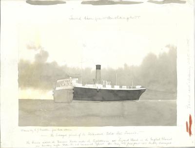
BATELIER WATERCOLOUR OF SS SUEVIC {CARGO LINER}
-
BATELIER SKETCH OF TOWN JETTY, ALBANY