Shire of Toodyay > Records
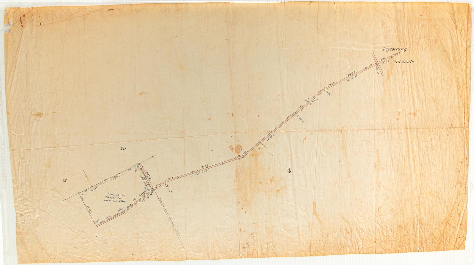
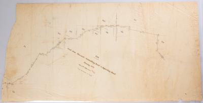
PLAN; ROAD TO BEJOORDING, 1910
1910Subcollections
Overview
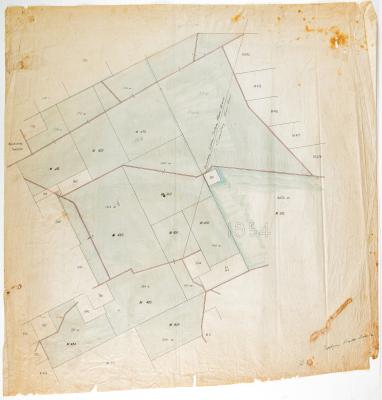
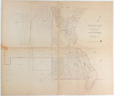
Plan of road leading to Bejoording townsite from a lot of land surveyed by PW Flint for the Land Titles office.
Plan shows bonding between land owned by Hamersley & Phillips.
Details
Details
Registration number
cwa-org-37-2006.13
Item type
Objects
Plans
Themes
Material
Ink
Linen
Width
440 mm
Height or length
765 mm
Inscriptions and markings
PW Flint
Year
Primary significance criteria
Historic significance
Last modified
Thursday, 3 March, 2022
More items like this
Other items from Shire of Toodyay
-
PLAN; DIVISION OF TOODYAY COMMONAGE, 1908
-
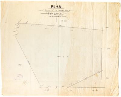
PLAN, LOT M1203 PART OF AVON LOCATION 1955
-
TOODYAY ROADS BOARD SURVEY MAP, AVON LOCATION 1954
-
PLAN; SURVEY, ROAD FROM NEWCASTLE- GOOMALLING ROAD TO BEJOORDING ROAD TRACING NO 3
-
GOOMALLING ROAD BOARD SURVEY MAP, AVON LOCATION 1954
-
PAPER; LETTERHEAD, C MARRIS & SON
-
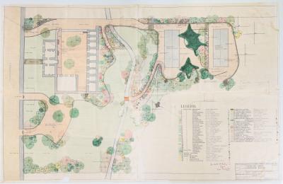
TOODYAY GAOL LANDSCAPE SCHEME
-
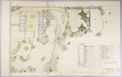
TOODYAY GAOL LANDSCAPE SCHEME, DRAWING NUMBER 2
-
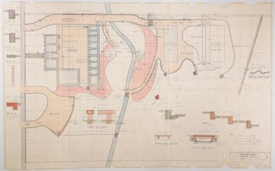
TOODYAY GAOL LANDSCAPE SCHEME: EARTHWORKS, PAVING, KERBING & DRAINAGE, DRAWING NO. 1, 1963
-
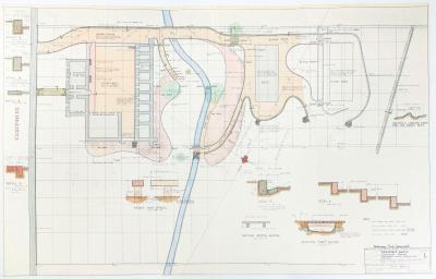
TOODYAY GAOL LANDSCAPE PLAN NO. 1, 1963, PRELIMINARY PRINT
-
PLAN, TOODYAY TOWNSITE 1967
-
CWA LETTER