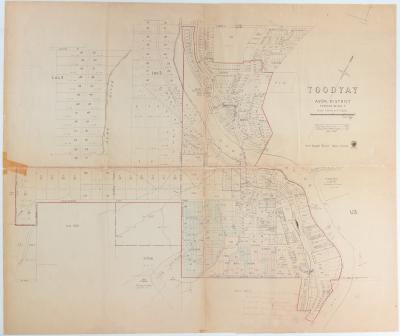
Shire of Toodyay > Records
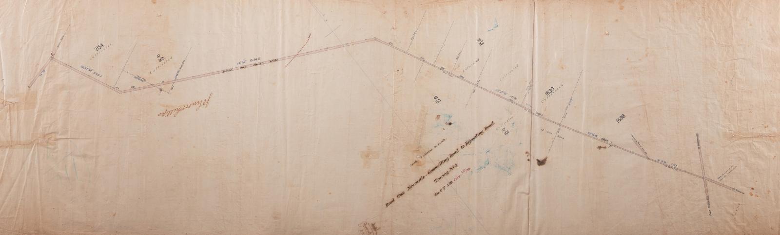
PLAN; SURVEY, ROAD FROM NEWCASTLE- GOOMALLING ROAD TO BEJOORDING ROAD TRACING NO 3
c. 1954Overview
Survey plan hand drawn in black and coloured ink on fine linen. Tracing No. 3.
Marked see O.P 459 Corr 712/93 'John Phillips' handwritten in ink.
Scale 8 chains to 1 inch
Details
Details
Registration number
cwa-org-37-2006.18
Item type
Objects
Plans
Themes
Material
Ink
Linen
Width
410 mm
Height or length
1270 mm
Inscriptions and markings
'John Phillips' handwritten in ink upside down on left front of plan
712/93 handwritten in ink on reverse.
Contextual information
see Shire of Toodyay accession no. 2006.9 for associated map, assumed to be dated same as this map - 1954
Year
Primary significance criteria
Historic significance
Last modified
Sunday, 30 January, 2022
Other items from Shire of Toodyay
-
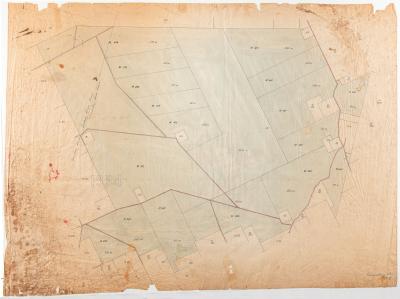
GOOMALLING ROAD BOARD SURVEY MAP, AVON LOCATION 1954
-
PAPER; LETTERHEAD, C MARRIS & SON
-
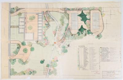
TOODYAY GAOL LANDSCAPE SCHEME
-
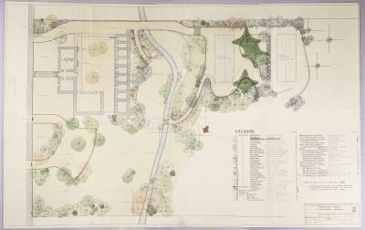
TOODYAY GAOL LANDSCAPE SCHEME, DRAWING NUMBER 2
-
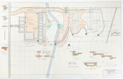
TOODYAY GAOL LANDSCAPE SCHEME: EARTHWORKS, PAVING, KERBING & DRAINAGE, DRAWING NO. 1, 1963
-
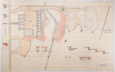
TOODYAY GAOL LANDSCAPE PLAN NO. 1, 1963, PRELIMINARY PRINT
-
PLAN, TOODYAY TOWNSITE 1967
-
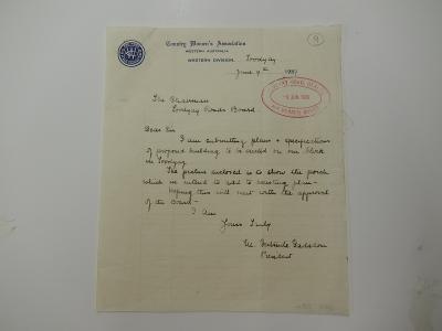
CWA LETTER
-
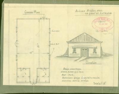
PLANS: PROPOSED BUILDING, CWA HALL TOODYAY
-
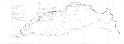
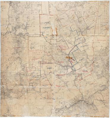
MAP TOODYAY ROAD DISTRICT BORDERING CHITTERING, NORTHAM, VIC PLAINS & MUNDARING
-
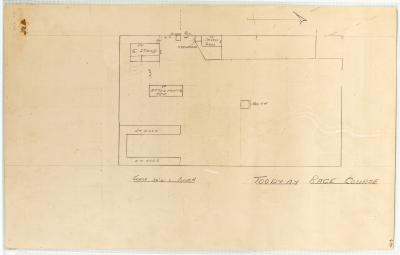
DIAGRAM TOODYAY RACECOURSE ON BACK OF FIRE POSTER
-
MAP, AVON VALLEY ROADS & HELICOPTER PADS