Shire of Toodyay > Records
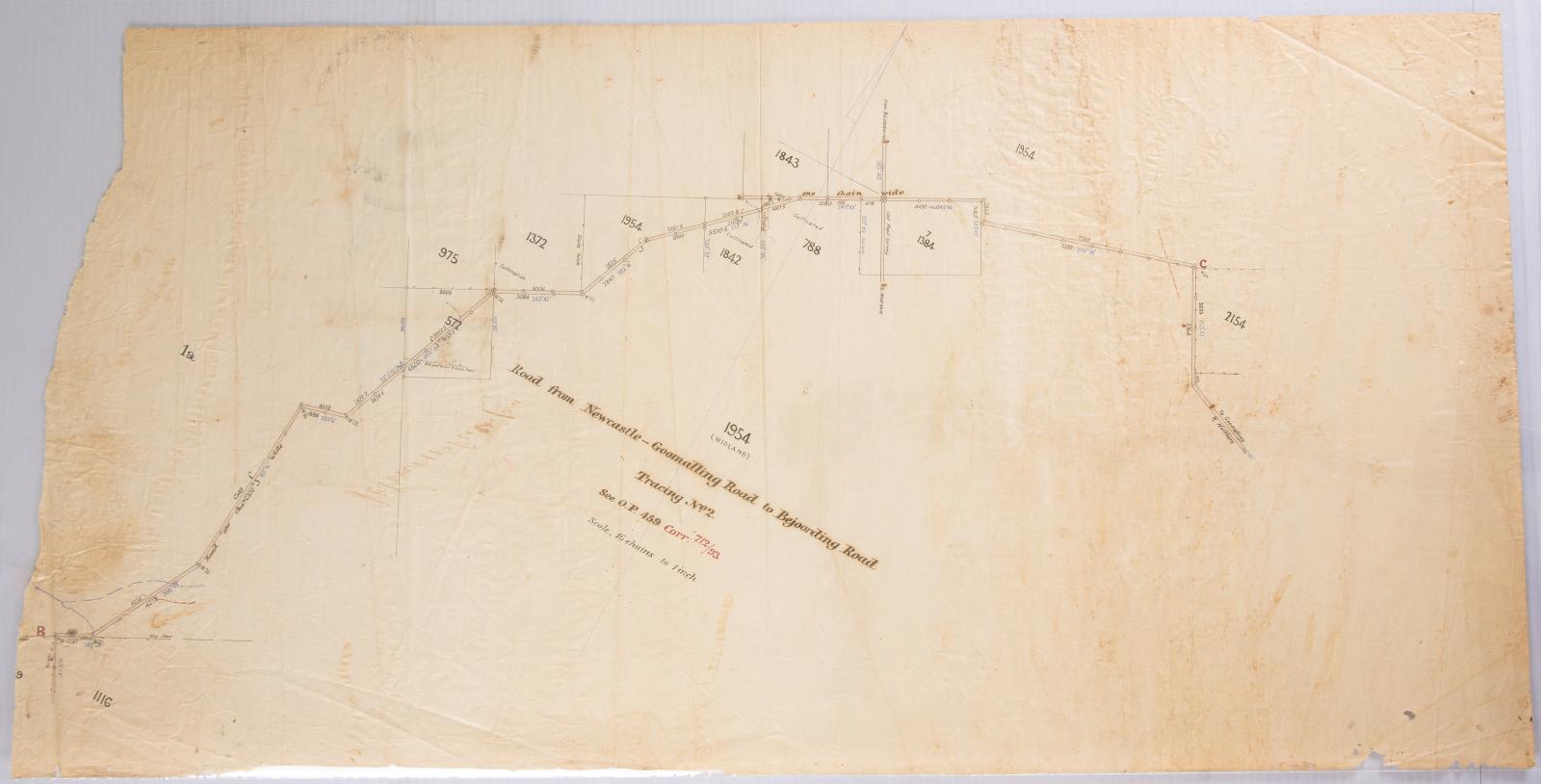
PLAN, ROAD FROM NEWCASTLE GOOMALLING ROAD TO BEJOORDING ROAD, TRACING NO 2
Overview
Surveyors drawing or plan, road from Newcastle-Goomalling Road to Bejoording Road, Tracing No. 2.
Location 1954 identified in title of caption
Marked see O.P 459 Corr 712/93 scale 16 chains to 1 inch.
Hand drawn in black and coloured inks on fine linen.
Details
Details
Registration number
cwa-org-37-2006.9
Item type
Objects
Plans
Themes
Material
Ink
Linen
Width
405 mm
Height or length
800 mm
Inscriptions and markings
'John Phillips' is handwritten in ink on reverse side.
Primary significance criteria
Historic significance
Last modified
Sunday, 30 January, 2022
Other items from Shire of Toodyay
-
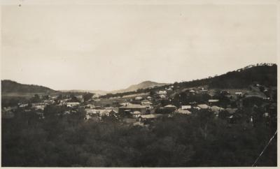
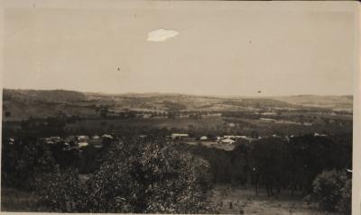
TOODYAY FROM RIFLE RANGE
-
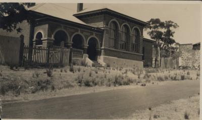
COURT HOUSE TOODYAY
-
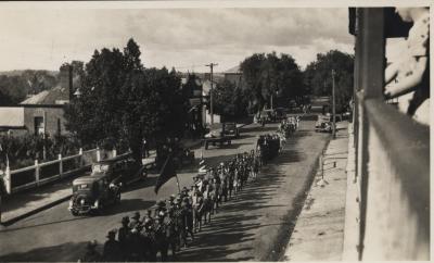
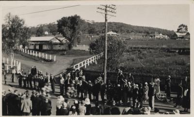
ANZAC DAY MARCH, TOODAY 1934/5
-
SHIFTING FURNITURE
-
SHIFTING FURNITURE DURING TOODYAY FLOODS 1935
-
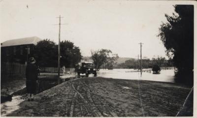
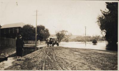
LLOYD'S CROSSING FLOODS, TOODYAY 1934
-
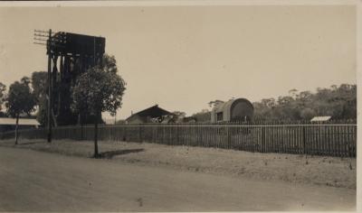
TOODYAY LOCOMOTIVE SHEDS, 1933-36
-
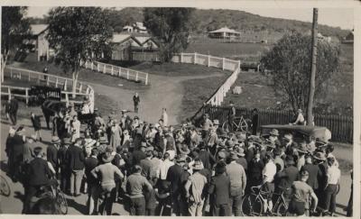
TOODYAY WHEELBARROW RACE & TOODYAY RAILWAY STATION 1935
-
BIKE RACE FINISH AT TOODYAY RAILWAY STATION
-
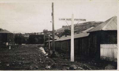
LOOK OUT FOR TRAIN SIGN AT CROSSING, CLINTON STREET, TOODYAY
-
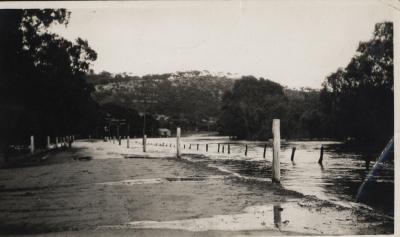
WASHAWAY FROM FLOOD AT MILL FARM
-
TOODYAY 1935