Shire of Toodyay > Records
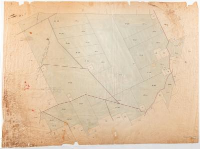
PLAN; DIVISION OF TOODYAY COMMONAGE, 1908
1908Overview
Plan showing part of Toodyay commonage which was opened for selection for small landowners not owning more than 100 acres, on 29th April 1908.
Lot numbers and roads are featured. Marked Cor 8000/06.
Heavily scribbled on in blue pencil with (presumed) purchasers' names.
Details
Details
Registration number
cwa-org-37-2006.14
Item type
Objects
Plans
Themes
Material
Ink
Linen
Width
620 mm
Height or length
650 mm
Inscriptions and markings
Heavily scribbled on in blue pencil with (presumed) purchasers' names.
Year
Primary significance criteria
Historic significance
Last modified
Sunday, 30 January, 2022
Completeness
Other items from Shire of Toodyay
-
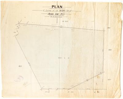
PLAN, LOT M1203 PART OF AVON LOCATION 1955
-
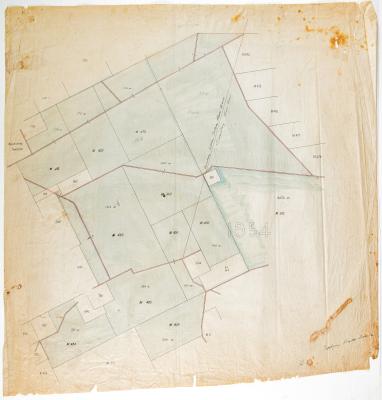
TOODYAY ROADS BOARD SURVEY MAP, AVON LOCATION 1954
-
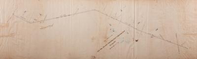
PLAN; SURVEY, ROAD FROM NEWCASTLE- GOOMALLING ROAD TO BEJOORDING ROAD TRACING NO 3
-
GOOMALLING ROAD BOARD SURVEY MAP, AVON LOCATION 1954
-
PAPER; LETTERHEAD, C MARRIS & SON
-
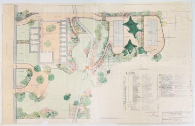
TOODYAY GAOL LANDSCAPE SCHEME
-
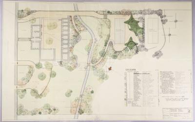
TOODYAY GAOL LANDSCAPE SCHEME, DRAWING NUMBER 2
-
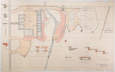
TOODYAY GAOL LANDSCAPE SCHEME: EARTHWORKS, PAVING, KERBING & DRAINAGE, DRAWING NO. 1, 1963
-
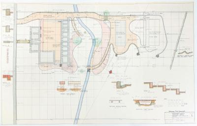
TOODYAY GAOL LANDSCAPE PLAN NO. 1, 1963, PRELIMINARY PRINT
-
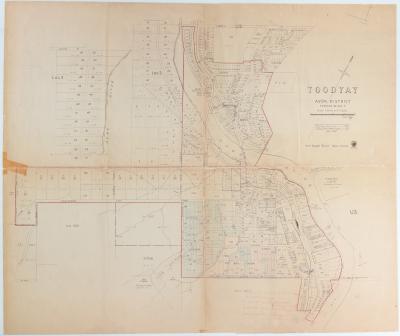
PLAN, TOODYAY TOWNSITE 1967
-
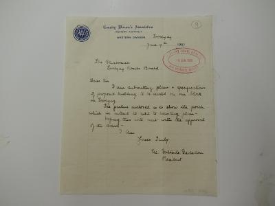
CWA LETTER
-
PLANS: PROPOSED BUILDING, CWA HALL TOODYAY