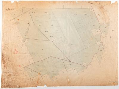
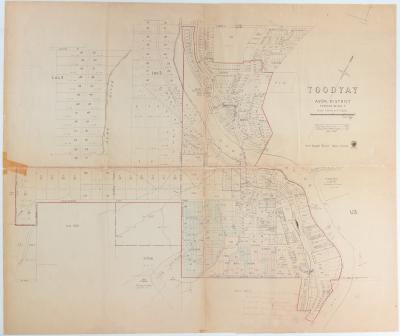
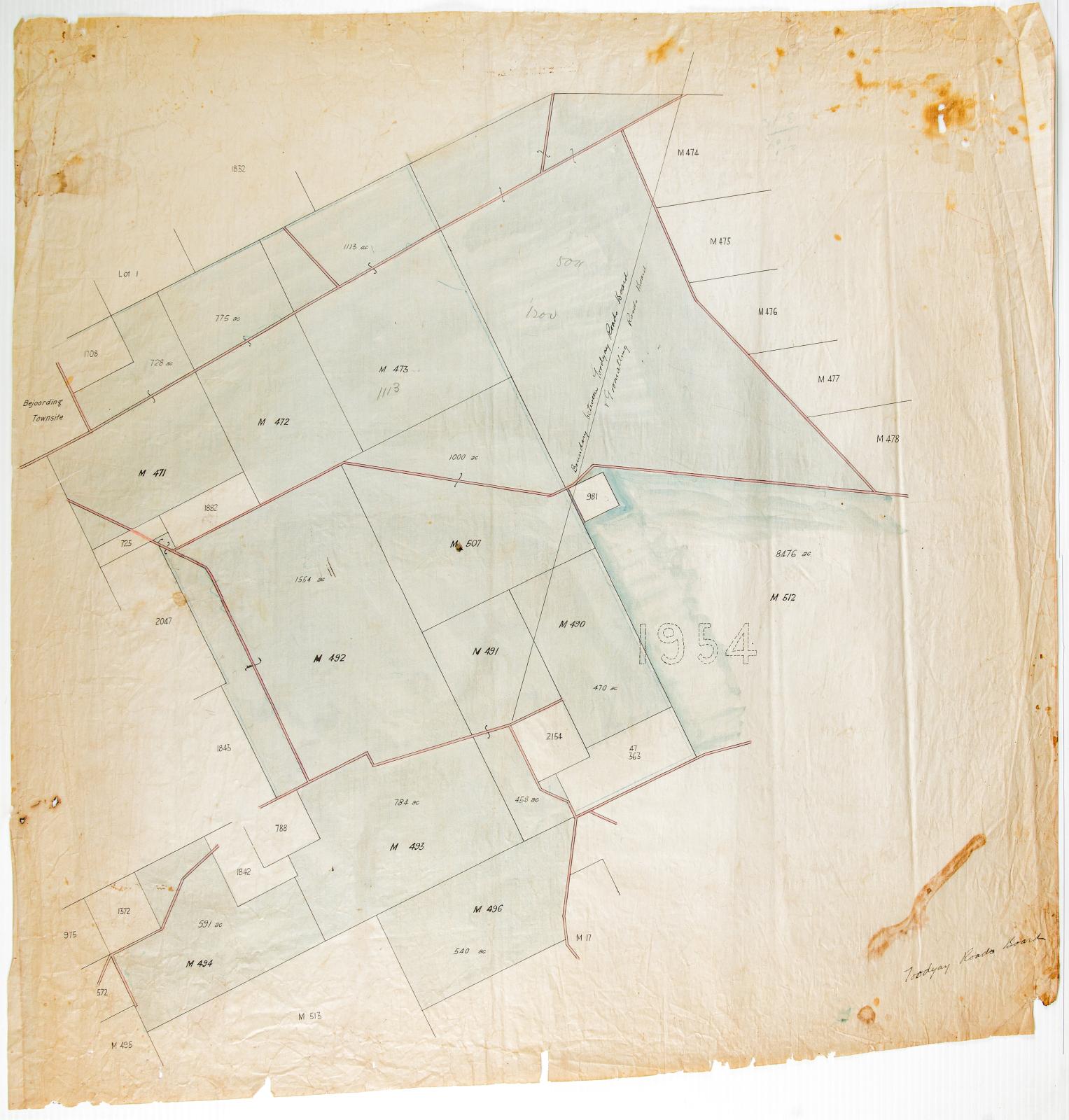
TOODYAY ROADS BOARD SURVEY MAP, AVON LOCATION 1954
1910Survey plan in 3 ink colours, pale green, pink and black. On linen paper.
A boundary line is shown on the right of the plan being between Toodyay and Goomalling Roads Boards.
At the top left a reference is made to Beejoording Townsite.
Likely to have been used by the Shire's planning department and then donated to the museum as an historical record.
This plan borders Shire of Toodyay map 2006.19. (Date for this map based on date recorded for 2006.19.)
Details
Details
Handwritten at lower right, "Toodyay Roads Board"
On the 20th December 1917, the Midland Railway Company held an auction sale at the Freemasons’ Hotel in Newcastle (now Toodyay), offering 42 lots of Avon Location 1954, a block of 35,000 acres located about 9 miles north-east of the town, between the Goomalling Railway and the proposed Newcastle-Bolgart line. ( Ref: Newcastle herald, 7 Dec. 1907, p.5; 21 Dec. 1907, p.5., West Australian, 24 Dec. 1907, p.4, Rica Erickson. Old Toodyay and Newcastle. Toodyay Shire Council, 1974, p.347.)
Other items from Shire of Toodyay
- PLAN; SURVEY, ROAD FROM NEWCASTLE- GOOMALLING ROAD TO BEJOORDING ROAD TRACING NO 3
- GOOMALLING ROAD BOARD SURVEY MAP, AVON LOCATION 1954
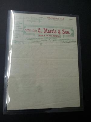
- PAPER; LETTERHEAD, C MARRIS & SON
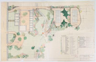
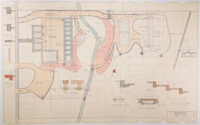
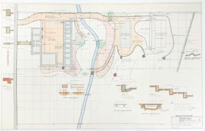
- TOODYAY GAOL LANDSCAPE SCHEME
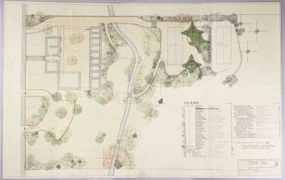
- TOODYAY GAOL LANDSCAPE SCHEME, DRAWING NUMBER 2
- TOODYAY GAOL LANDSCAPE SCHEME: EARTHWORKS, PAVING, KERBING & DRAINAGE, DRAWING NO. 1, 1963
- TOODYAY GAOL LANDSCAPE PLAN NO. 1, 1963, PRELIMINARY PRINT
- PLAN, TOODYAY TOWNSITE 1967
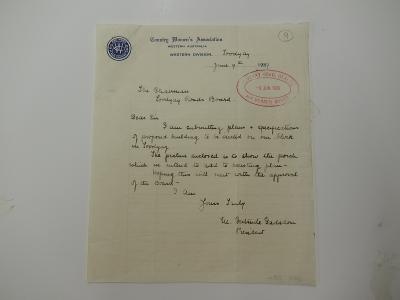
- CWA LETTER
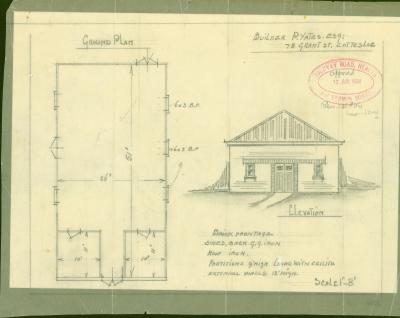
- PLANS: PROPOSED BUILDING, CWA HALL TOODYAY
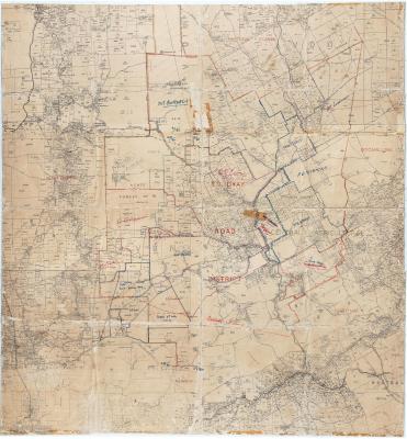
- MAP TOODYAY ROAD DISTRICT BORDERING CHITTERING, NORTHAM, VIC PLAINS & MUNDARING
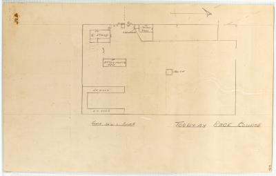
- DIAGRAM TOODYAY RACECOURSE ON BACK OF FIRE POSTER

