Shire of Toodyay > Records
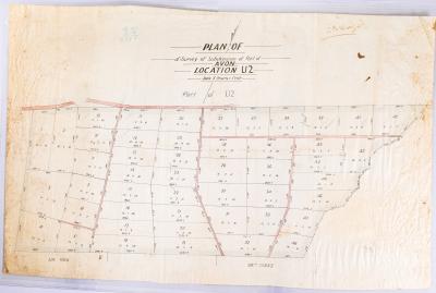
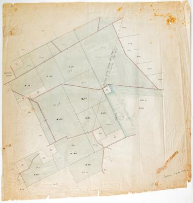
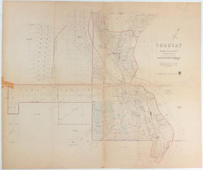
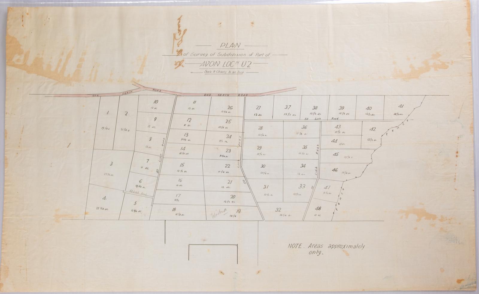
PLAN; SURVEY, SUBDIVISION, AVON LOC U2, 1910
1910Overview
Survey map, hand drawn in black & coloured ink on fine linen.
Of land subdivision, also features roads.
Historical information
The subdivision is located just out of town off Goomalling Toodyay Road.
Details
Details
Registration number
cwa-org-37-2006.12
Item type
Objects
Plans
Material
Ink
Linen
Width
395 mm
Height or length
640 mm
Inscriptions and markings
Signature on reverse possibly BM O'Connor
Year
Primary significance criteria
Historic significance
Last modified
Sunday, 30 January, 2022
More items like this
Other items from Shire of Toodyay
-
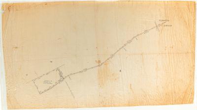
PLAN; ROAD TO BEJOORDING, 1910
-
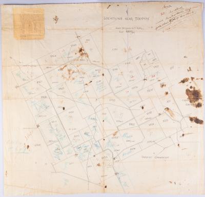
PLAN; DIVISION OF TOODYAY COMMONAGE, 1908
-
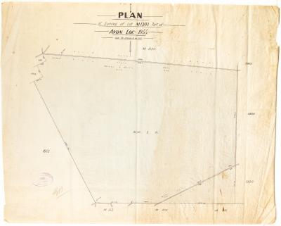
PLAN, LOT M1203 PART OF AVON LOCATION 1955
-
TOODYAY ROADS BOARD SURVEY MAP, AVON LOCATION 1954
-
PLAN; SURVEY, ROAD FROM NEWCASTLE- GOOMALLING ROAD TO BEJOORDING ROAD TRACING NO 3
-
GOOMALLING ROAD BOARD SURVEY MAP, AVON LOCATION 1954
-
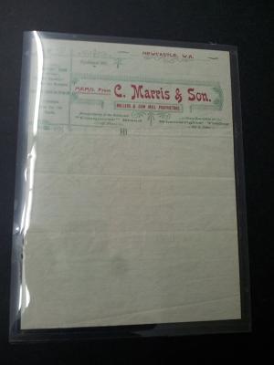
PAPER; LETTERHEAD, C MARRIS & SON
-
TOODYAY GAOL LANDSCAPE SCHEME
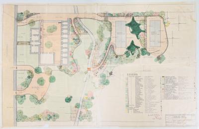
-
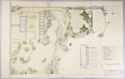
TOODYAY GAOL LANDSCAPE SCHEME, DRAWING NUMBER 2
-
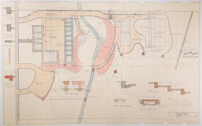
TOODYAY GAOL LANDSCAPE SCHEME: EARTHWORKS, PAVING, KERBING & DRAINAGE, DRAWING NO. 1, 1963
-
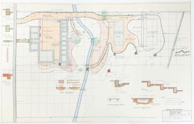
TOODYAY GAOL LANDSCAPE PLAN NO. 1, 1963, PRELIMINARY PRINT
-
PLAN, TOODYAY TOWNSITE 1967
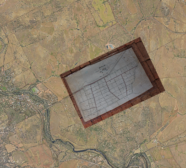
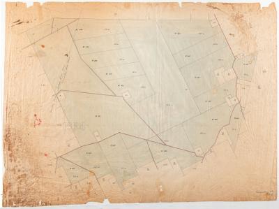
1910 Avon Location U2 subdivision overlaid onto 2020 aerial image
Scan this QR code to open this page on your phone ->
