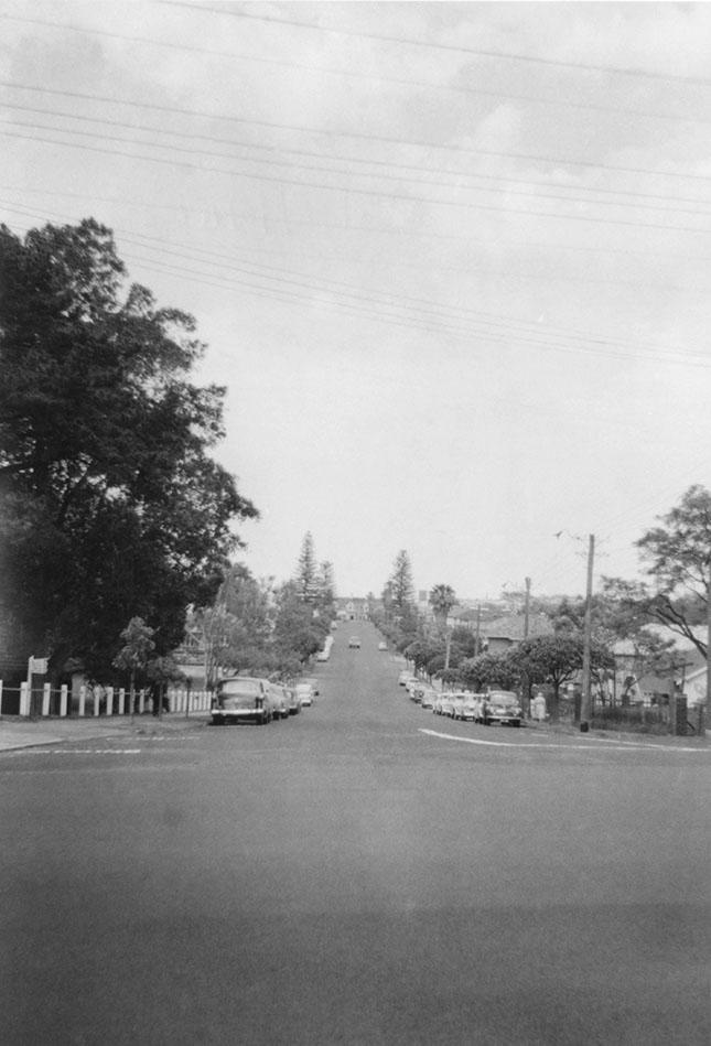
Bay View Terrace South From Stirling Highway, Claremont
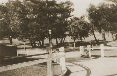
From the corner of Stirling Highway looking south along Bay View Terrace towards the river. White posts and rails of the fence around Claremont Park. Trees on the left. Houses down the right side. The" Mansions" in Victoria Avenue, Claremont and several tall pine trees are in the background. Vehicles parked on both sides of the road.
Photograph taken around 8.30am 1961-09-26.
Details
Details
Open in Google Maps
Nearest geotagged records:
- Bay View Terrace South From Claremont Avenue (0.01km away)
- F.W. Koeppe Supply Store (0.01km away)
- National Bank Building, Bay View Terrace (0.01km away)
- National Bank Of Australasia And Waldby Chemist (0.01km away)
- National Bank Building, Bay View Terrace, Claremont (0.01km away)
- National Bank Claremont (0.01km away)
- Bay View Terrace And Stirling Highway, Claremont (0.01km away)
- Shop Renovation, Bay View Terrace And Stirling Highway (0.01km away)
- Claremont War Memorial (0.01km away)
- Claremont Council Chambers, Claremont Avenue (0.02km away)
Nearby places: View all geotagged records »
Copyright and Reference
Copyright and Reference
Acknowledgements to be made to 'Claremont Museum 98.188'.
Other items from Town of Claremont Museum
- Butler's Swamp Redevelopment Into Lake Claremont
- Cresswell Park Development
- Lake Claremont Golf Course Development
- National Bank Claremont
- State Savings Bank Claremont
- Drinking Fountain Claremont Park
- Demolition of Lunt House And Pumphouse Wine Bar Claremont
- Furniss Building, Bay View Terrace
- Bay View Radio Centre
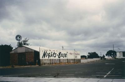
- Night's Ease Advertisement, St Quentins Avenue
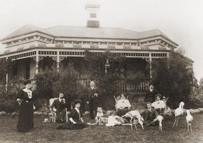
- Schruth House And Family Group
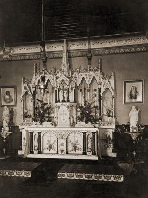
- Loreto Convent Chapel Altar
Source: Claremont Museum 98.188
Scan this QR code to open this page on your phone ->

