Midland and Districts Historical Society > Records
Streetscapes in Midland Junction.
c. 1901Subcollections
Overview
Black and white images mounted in an album behind a green colour mat board.
Historical information
Images are from the Rutherford Album which is housed at the archives of the Rottnest Island Heritage Authority at Kingstown Barracks, Rottnest Island. The photographer was William Dennis Dawson, a professional photographer in Midland Junction. The images are dated between 1901 and 1902.
Details
Details
Registration number
cwa-org-150-P100-12
Item type
Digital Scans
Material
Photographic Paper
Inscriptions and markings
Images are not captioned.
Contextual information
Streetscapes of early Midland Junction document culture and commercialism at the beginning of the twentieth century.
Keywords
Midland Junction
York Road
Commercial Road
Newcastle Road
Freemasons Hotel
Church of Ascension
Council Club Hotel
Edward Hall
Place made
Year
Primary significance criteria
Historic significance
Social or spiritual significance
Comparative significance criteria
Rare or representative
Last modified
Tuesday, 21 June, 2022
Copyright and Reference
Copyright and Reference
Rights category
Expired
Attribution requirements
Image is to be attributed 'Courtesy of Midland and Districts Historical Society Inc. and Rottnest Island Authority'.
Midland and Districts Historical Society
Midland and Districts Historical Society
Other items by William Dennis Dawson
-
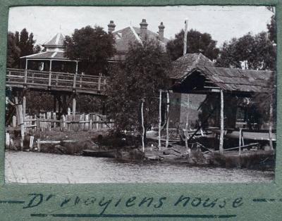
Moulton's Warehouse and Landing at Barker's Bridge, Dr Waylen's house in the background.
-
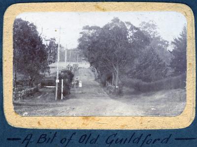
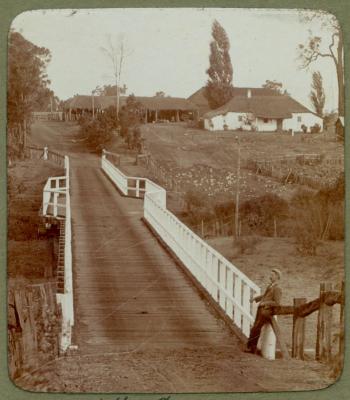
An old bridge in Guildford.
-
Buildings in early Midland Junction.
-
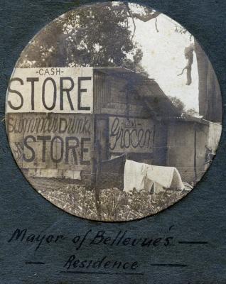
An early twentieth century shack serving as a store.
-
Upper Swan Bridge.
-
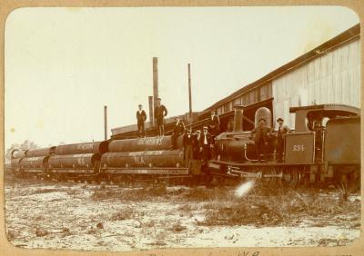
First pipes for the Goldfields pipeline leaving Midland.
-
Coronation procession, Midland Junction.

-
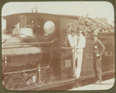
Midland Railway Company of WA locomotives.
-
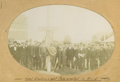
First electric light pole erected in Midland Junction.
-
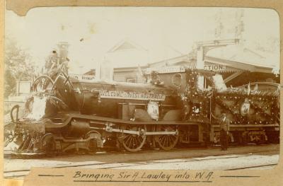
The locomotive bringing Governor Arthur Lawley to Western Australia.
-
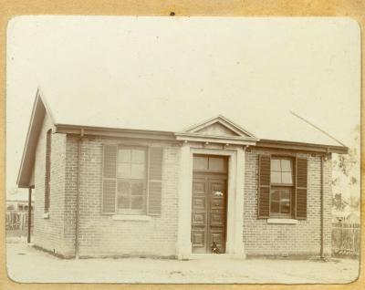
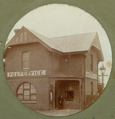
First post office in Midland Junction.
Other items from Midland and Districts Historical Society
-
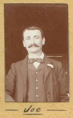
Portraits of Dawson family members and unknown people.
-
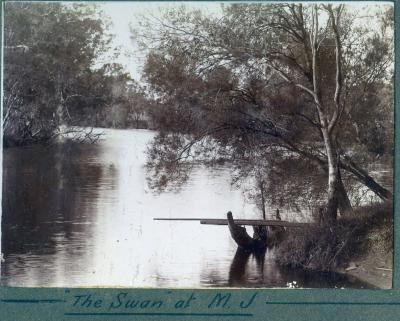
The Swan River and tributaries near Midland Junction.
-
Construction of St John of God Midland Private and Public Hospital.
-
Swan District Hospital after closure.
-
MRWA 2004 staff reunion.
-
Middle Swan Cricket Club, B Grade Premiers 1927-28
-
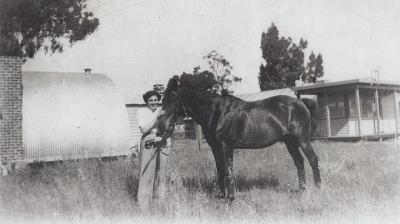
Jean Bond at Wexcombe
-
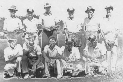
Upper Swan Cricket Team c1945
-
Robinson Grove Estate, formerly Belle View.
-
Edwin Shepherd and Shepherd family
-
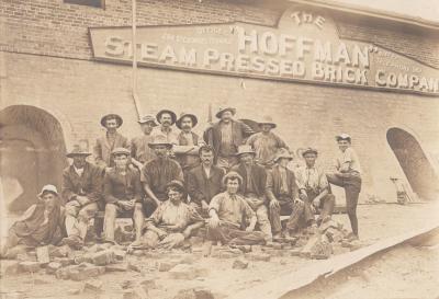
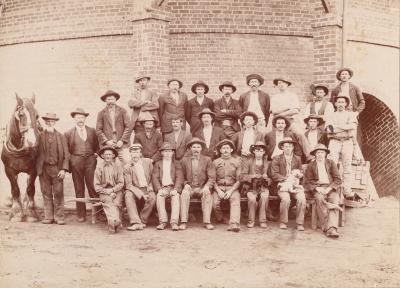
The Hoffman Steam Pressed Brick Company
-
Workers at Hoffman Steam Pressed Brick Company
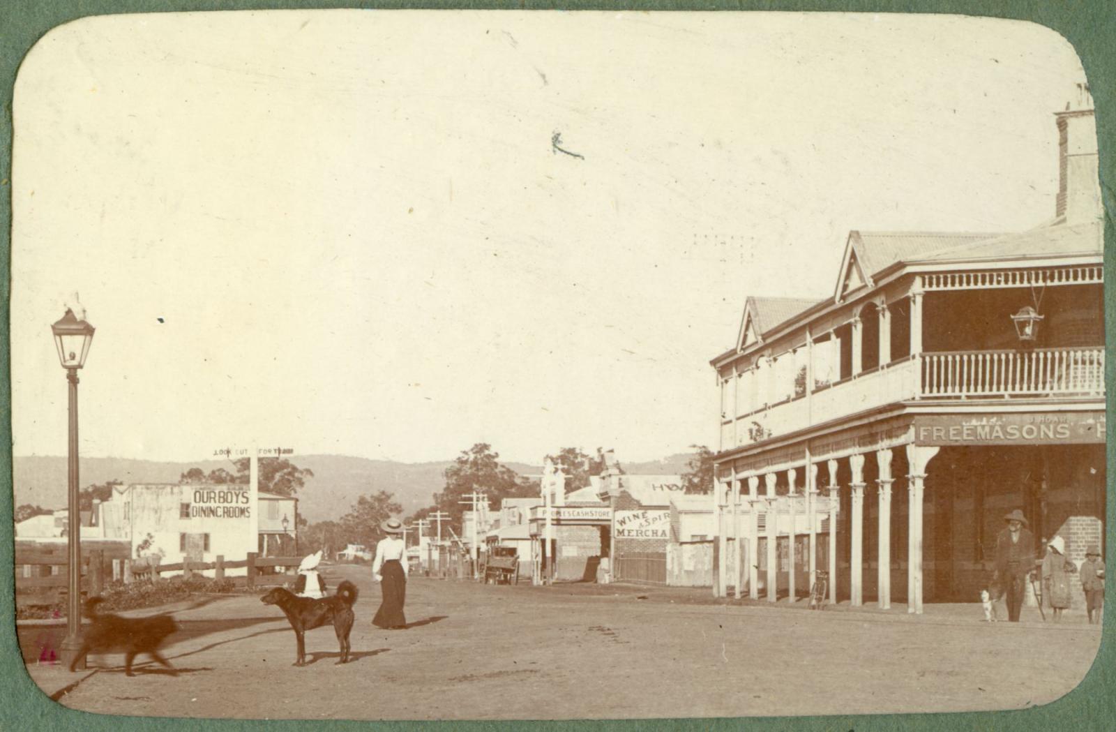
P100-12. York Road (Great Eastern Highway) at the junction of Helena Street. Perth Hills can be seen in the background and the Freemasons Hotel is on the right. The woman and child on the left in the image are likely to be the photographer's wife Elise and daughter Dorothy.
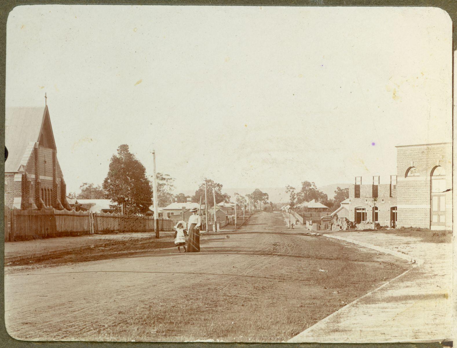
P100-13. Newcastle Road (Great Northern Highway), looking north-east. The Church of Ascension is on the left and on the right is the public hall and behind that the Council Club Hotel is under construction. The woman and child in the image are likely to be the photographer's wife Elise and daughter Dorothy.
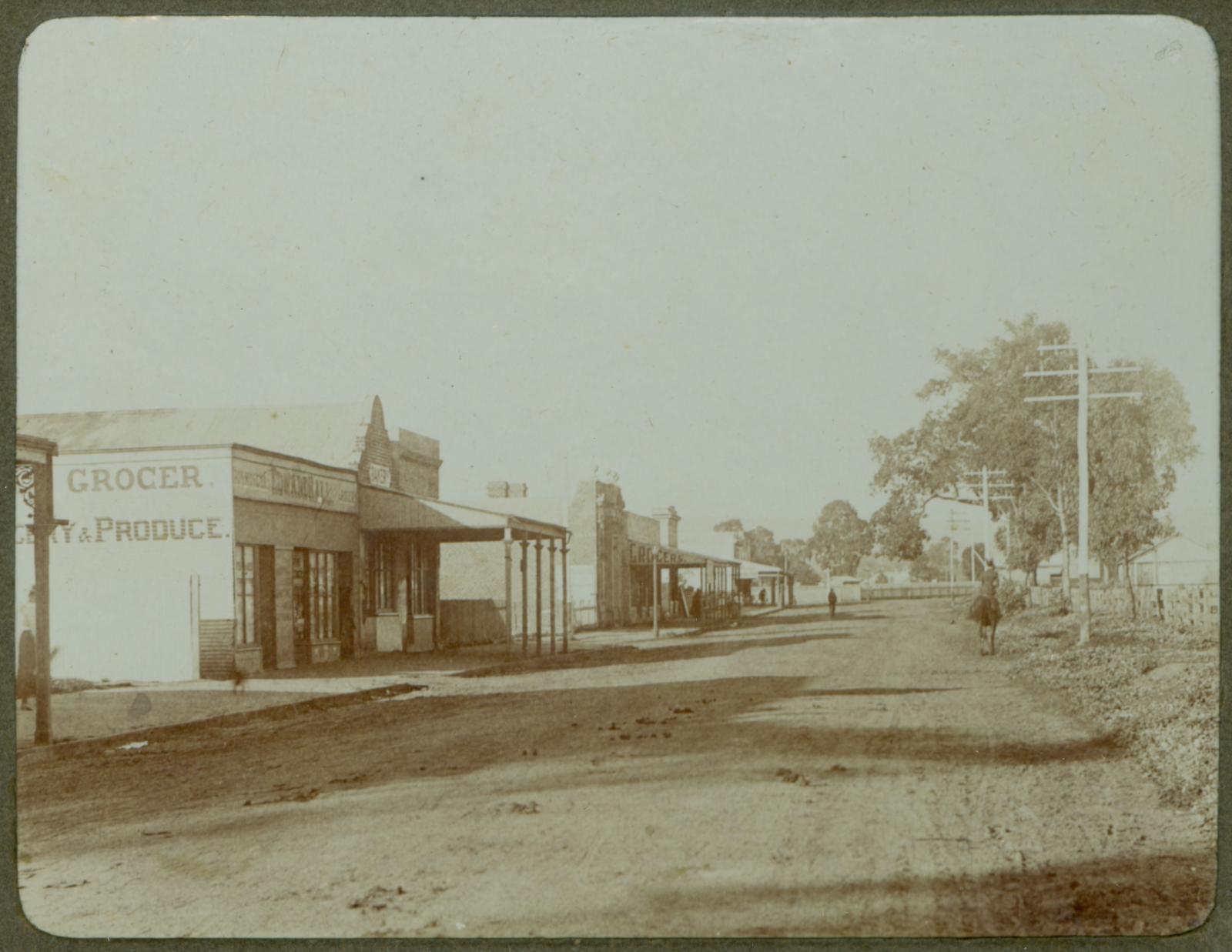
P100-14. Commercial Road (Great Eastern Highway), looking east towards Helena Street. On the left is Edward Hall's grocery store.
Scan this QR code to open this page on your phone ->