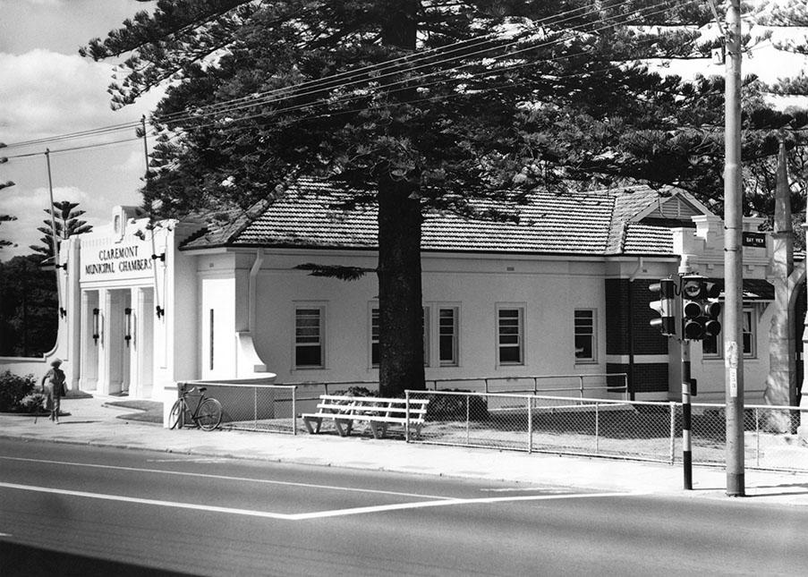
Claremont Municipal Chambers
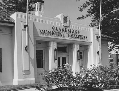
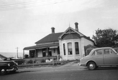
The front and west side of the Claremont Municipal Chambers on the corner of Bay View Terrace and Stirling Highway Claremont. Above the front door is a clock and [CLAREMONT/MUNICIPAL CHAMBERS]. A flag pole and light is mounted either side of the door. A pine tree and a slatted seat are to the right of the building. A trolley bus pole and a traffic light standard are on the edge of the footpath and the War Memorial is just visible. A bicycle is propped against the cyclone fence. A lady with cane is walking in front of the building.
Details
Details
Open in Google Maps
Nearest geotagged records:
- Stirling Highway, Bay View Terrace Corner (0km away)
- Claremont Council Chambers, Claremont Avenue (0.01km away)
- Council Buildings, Town Of Claremont (0.01km away)
- Claremont Municipal Chambers (0.01km away)
- The New Claremont Library (0.01km away)
- Claremont War Memorial (0.02km away)
- Claremont Municipal Chambers (0.02km away)
- Bay View Terrace And Stirling Highway, Claremont (0.02km away)
- Bay View Terrace South From Stirling Highway, Claremont (0.02km away)
- AWAS on Rottnest - 4WF5980 FANCOTE (married COX) (0.03km away)
Nearby places: View all geotagged records »
Copyright and Reference
Copyright and Reference
Acknowledgements to be made to 'Claremont Museum 98.175'.
More items like this
Other items from Town of Claremont Museum
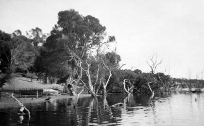
- Butler's Swamp Western Shore
- Butler's Swamp
- Butler's Swamp Western Shore
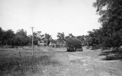
- Butler's Swamp To Gloucester Road
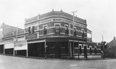
- National Bank Of Australasia And Waldby Chemist
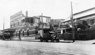
- National Bank And Motor Lorry
- Claremont Council Chambers, Claremont Avenue
- 14 Gugeri Street, Claremont
- Gugeri Street, Claremont
- Gugeri Street West Towards Subway
- Gugeri Street East Towards The Claremont Hotel
- Gugeri Street, Claremont
Source: Claremont Museum 98.175
Scan this QR code to open this page on your phone ->

