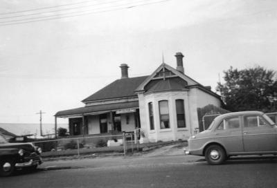
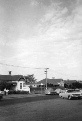
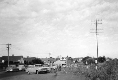
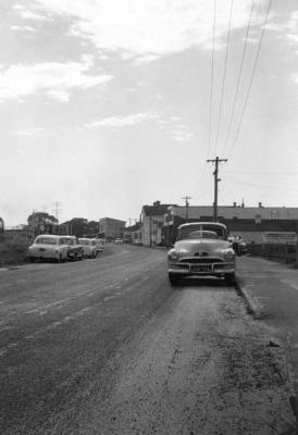
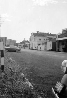
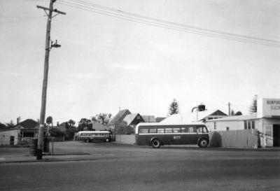
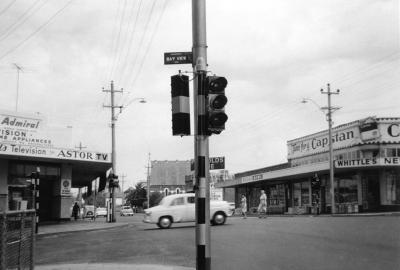
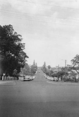
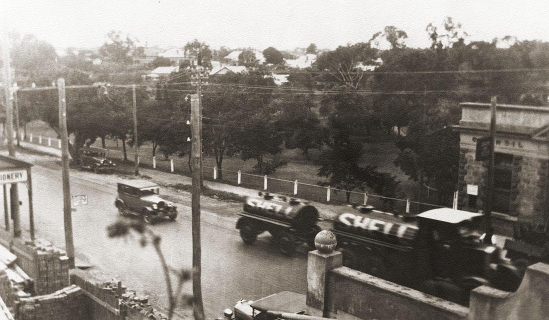
Claremont Council Chambers, Claremont Avenue
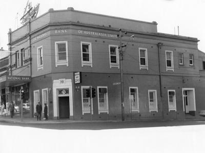
View from roof level of Claremont Avenue, vehicles, Claremont Council Chambers and a park. Extension to the National Ban in the foreground.
Claremont Avenue was the section of the Perth-Fremantle Road that passed through Claremont. The Perth-Fremantle Road was renamed Stirling Highway in 1932 after the first Governor of Western Australia, Admiral Sir James Stirling.
Details
Details
Open in Google Maps
Nearest geotagged records:
- Claremont Municipal Chambers (0.01km away)
- Stirling Highway, Bay View Terrace Corner (0.01km away)
- Bay View Terrace South From Stirling Highway, Claremont (0.02km away)
- Bay View Terrace And Stirling Highway, Claremont (0.02km away)
- National Bank Building, Bay View Terrace, Claremont (0.02km away)
- National Bank Claremont (0.02km away)
- Claremont War Memorial (0.02km away)
- National Bank Of Australasia And Waldby Chemist (0.02km away)
- Council Buildings, Town Of Claremont (0.02km away)
- Claremont Municipal Chambers (0.02km away)
Nearby places: View all geotagged records »
Copyright and Reference
Copyright and Reference
Acknowledgements to be made to 'Claremont Museum 98.183'.
Other items from Town of Claremont Museum
- 14 Gugeri Street, Claremont
- Gugeri Street, Claremont
- Gugeri Street West Towards Subway
- Gugeri Street East Towards The Claremont Hotel
- Gugeri Street, Claremont
- MTT Bus Depot, Gugeri Street, Claremont
- Bay View Terrace And Stirling Highway, Claremont
- Bay View Terrace South From Stirling Highway, Claremont
- Butler's Swamp Redevelopment Into Lake Claremont
- Cresswell Park Development
- Lake Claremont Golf Course Development
- National Bank Claremont
Source: Claremont Museum 98.183
Scan this QR code to open this page on your phone ->

