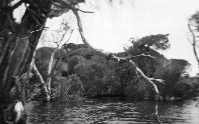
Butler's Swamp Western Shore
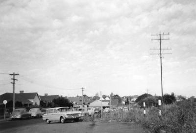
1953Butler's Swamp Western Shore looking towards Alfred Road, Claremont. Still water reflecting dead trees. On the edge of the water is part of a corrugated iron tank. On the left, the wooded bank slopes upwards.
Details
Details
Printed in ink on the rear [Western Shore, looking towards/ Alfred Rd/ Dec 1953].
Open in Google Maps
Nearest geotagged records:
- Butler's Swamp Claremont (0km away)
- Canoes On Butler's Swamp (0km away)
- Gugeri Family, Butler's Swamp (0km away)
- Butler's Swamp (0km away)
- Butler's Swamp (0km away)
- Smith Brothers' Property Butler's Swamp (0km away)
- House Ruin At Butler's Swamp (0km away)
- Butler's Swamp From Alfred Road (0km away)
- Butler's Swamp During Conversion To Lake Claremont (0km away)
- Looking South Across Butler's Swamp (0km away)
Nearby places: View all geotagged records »
Copyright and Reference
Copyright and Reference
Acknowledgements to be made to 'Claremont Museum 98.179'.
More items like this
Other items from Town of Claremont Museum
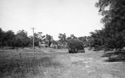
- Butler's Swamp To Gloucester Road
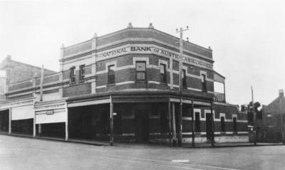
- National Bank Of Australasia And Waldby Chemist
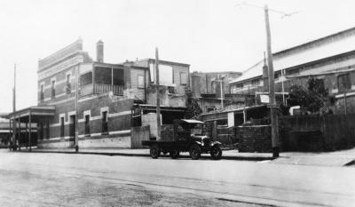
- National Bank And Motor Lorry
- Claremont Council Chambers, Claremont Avenue
- 14 Gugeri Street, Claremont
- Gugeri Street, Claremont
- Gugeri Street West Towards Subway
- Gugeri Street East Towards The Claremont Hotel
- Gugeri Street, Claremont
- MTT Bus Depot, Gugeri Street, Claremont
- Bay View Terrace And Stirling Highway, Claremont
- Bay View Terrace South From Stirling Highway, Claremont
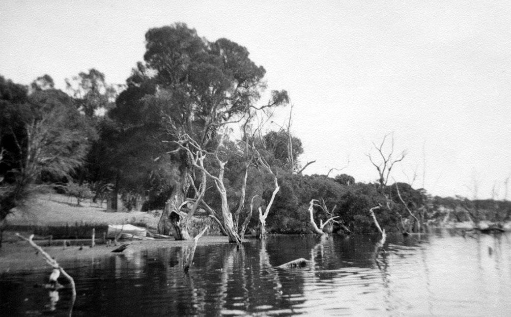
Towards Alfred Road, Claremont
Source: Claremont Museum 98.179
Scan this QR code to open this page on your phone ->

