Butler's Swamp To Gloucester Road
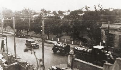
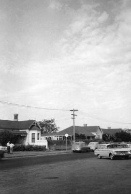
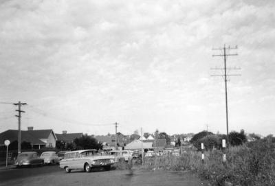
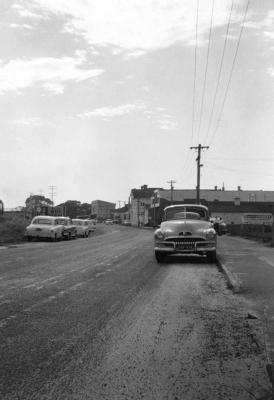
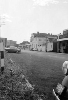
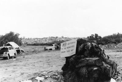
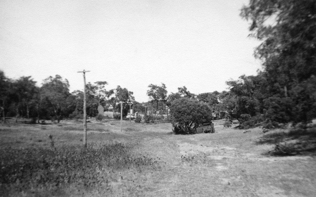
1954Butler's Swamp To Gloucester Road. Flat grassy area with lamp posts and clump of trees under which there is an old car body. Area is surrounded by trees. A building ruin in the central background.
Details
Details
Printed in ink on the rear is [Taken from Swamp looking towards/ Gloucester Road/ Dec 1954].
Open in Google Maps
Nearest geotagged records:
- Butler's Swamp Claremont (0km away)
- Canoes On Butler's Swamp (0km away)
- Gugeri Family, Butler's Swamp (0km away)
- Butler's Swamp (0km away)
- Butler's Swamp (0km away)
- Smith Brothers' Property Butler's Swamp (0km away)
- House Ruin At Butler's Swamp (0km away)
- Butler's Swamp From Alfred Road (0km away)
- Butler's Swamp During Conversion To Lake Claremont (0km away)
- Looking South Across Butler's Swamp (0km away)
Nearby places: View all geotagged records »
Copyright and Reference
Copyright and Reference
Acknowledgements to be made to 'Claremont Museum 98.180'.
Other items from Town of Claremont Museum
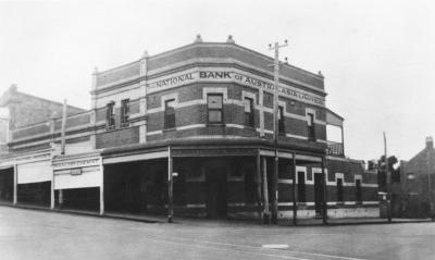
- National Bank Of Australasia And Waldby Chemist
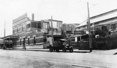
- National Bank And Motor Lorry
- Claremont Council Chambers, Claremont Avenue
- 14 Gugeri Street, Claremont
- Gugeri Street, Claremont
- Gugeri Street West Towards Subway
- Gugeri Street East Towards The Claremont Hotel
- Gugeri Street, Claremont
- MTT Bus Depot, Gugeri Street, Claremont
- Bay View Terrace And Stirling Highway, Claremont
- Bay View Terrace South From Stirling Highway, Claremont
- Butler's Swamp Redevelopment Into Lake Claremont
Source: Claremont Museum 98.180
Scan this QR code to open this page on your phone ->

