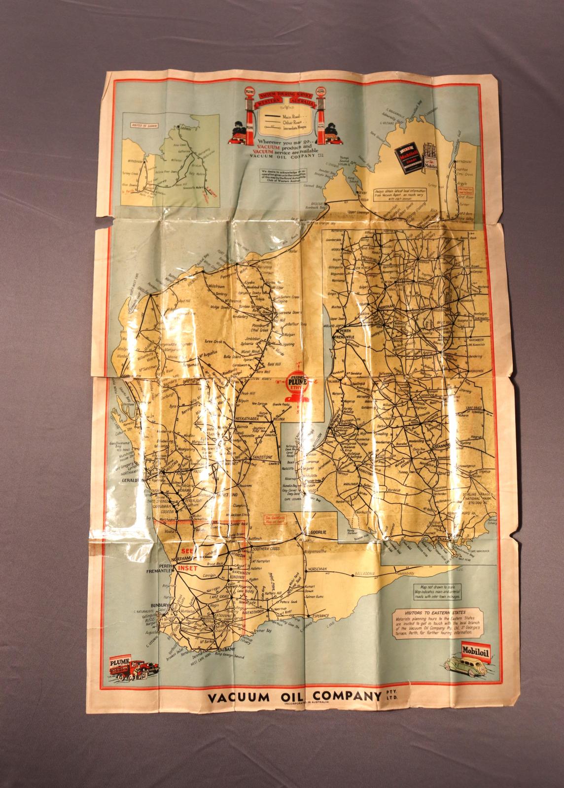
MAP, ROAD - WESTERN AUSTRALIA BY VACUUM OIL COMPANY
1950 - 1960Rectangle paper map with fold creases, partial covered with clear plastic contact.
On front side, yellow map of Western Australia showing major towns and roads. Ocean is blue.
On the right side is an insert with a more detailed map of the South West of Western Australia.
Top left corner another insert showing northern part of the Western Australian and Northern Territory border.
Reverse side - Goldfield road map, a insert showing the Eucla to Adelaide road, incuding the towns. Insert showing short tours around Perth.
One this side of the map at the top is the maps title panel with text [VACUUM / Road / Map]. Advert for Super Plume Ethyl and advert for Mobiloil
This map was used by Brian Watson, a truck driver, in the 1950s to late 1960s or early 1970s, to plan his delivery runs to regional towns.
Brian lived with his family in Kelmscott.
Some time in the 1990s he gave the map to June Castledine.
The map was first produced by the Vacuum Oil Company in c1937. Vacumm was established in Australia by its American parent company in 1895.
Details
Details
along the bottom of front part of map [VACUUM OIL COMPANY PTY / LTD / INCORPORATED IN AUSTRALIA]
City of Armadale - History House
City of Armadale - History House
Other items from City of Armadale - History House
-
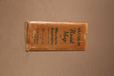
MAP, ROAD - CASE
-
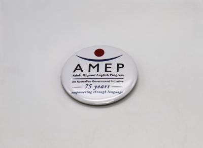
BADGE - ADULT MIGRANT ENGLISH PROGRAM
-
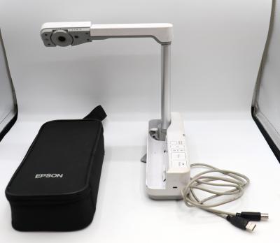
PROJECTOR, DIGITAL - EPSON ELPDC06

-
CASE, CARRY - EPSON ELPDC06
-
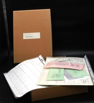
GAME, EDUCATIONAL - THE BANK ROBBERY
-
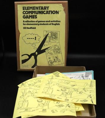
GAME, EDUCATIONAL - ELEMENTARY COMMUNICATION GAMES
-
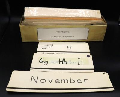
CARDS, EDUCATIONAL - LITERACY FOR BEGINNERS
-
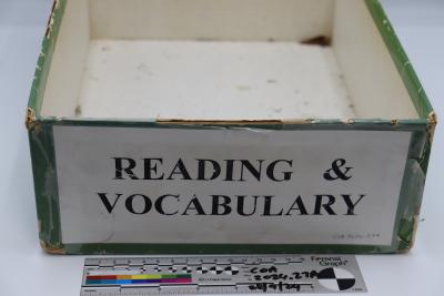
SRA READING LABORATORY
-
READING POWER BUILDERS
-
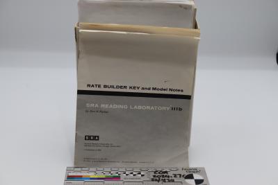
SAP READING LABORATORY 111B
-
HOW WELL DO YOU READ
-
SALVAGED CULTURAL MATERIAL - DPLH26100 - SIENNA WOODS SEPT 2024