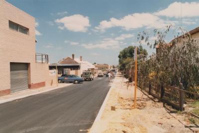
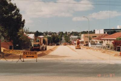
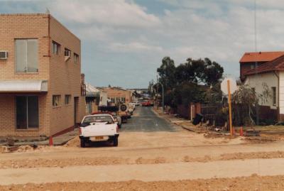
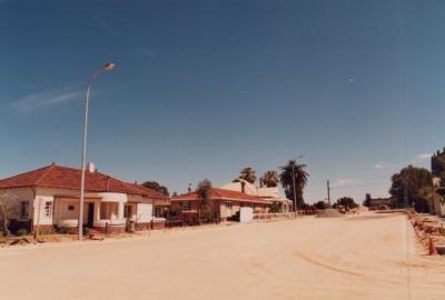
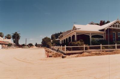
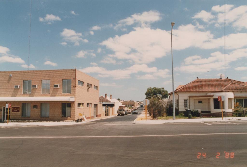
PHOTOGRAPH: 'YORK STREET POWER UNDERGROUNDING' 1988
1988A coloured photograph of York Street facing West, taken from the York Street/Townshend Road intersection. On the corner on the left side of the road there is a two storey, beige brick building. On the right side of the road there is a white house with a red tiled roof. There are No Parking signs on both sides of the road. In the bottom right corner of the image a red date stamp reads '24 2 '88'.
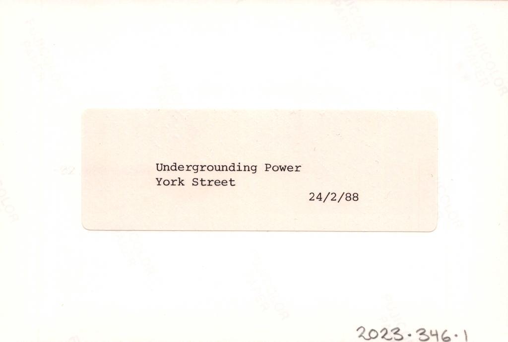
Reverse: A typed label reads 'Undergrounding power, York Street, 24/2/88'.
A photograph of York Street.
Details
Details
Open in Google Maps
Nearest geotagged records:
- PHOTOGRAPH: 'YORK STREET POWER UNDERGROUNDING' 1988 (0km away)
- PHOTOGRAPH: 'TOWNSHEND ROAD, AXON STREET RE-ALIGNMENT' 1988 (0km away)
- PHOTOGRAPH: 'TOWNSHEND ROAD, AXON STREET RE-ALIGNMENT' 1988 (0km away)
- PHOTOGRAPH: 'YORK STREET POWER LINES' 1987 (0km away)
- PHOTOGRAPH: 'YORK STREET POWER UNDERGROUNDING' 1987 (0km away)
- PHOTOGRAPH: 'TOWNSHEND ROAD STREETSCAPE' 1988 (0.01km away)
- PHOTOGRAPH: 'TOWNSHEND ROAD STREETSCAPE' 1988 (0.01km away)
- PHOTOGRAPH: 'TOWNSHEND ROAD, AXON STREET RE-ALIGNMENT' 1988 (0.01km away)
- PHOTOGRAPH: 'YORK STREET POST POWER UNDERGROUNDING' 1988 (0.04km away)
- PHOTOGRAPH: 'YORK STREET POST POWER UNDERGROUNDING' 1988 (0.04km away)
Nearby places: View all geotagged records »
Other items from Subiaco Museum
- PHOTOGRAPH: 'YORK STREET POWER UNDERGROUNDING' 1988
- PHOTOGRAPH: 'YORK STREET POWER LINES' 1987
- PHOTOGRAPH: 'AXON STREET RE-ALIGNMENT' 1987
- PHOTOGRAPH: 'AXON STREET RE-ALIGNMENT' 1987
- PHOTOGRAPH: 'AXON STREET RE-ALIGNMENT' 1987
- PHOTOGRAPH: 'AXON STREET RE-ALIGNMENT' 1987
- PHOTOGRAPH: 'AXON STREET RE-ALIGNMENT' 1987
- PHOTOGRAPH: 'AXON STREET RE-ALIGNMENT' 1987
- PHOTOGRAPH: 'AXON STREET RE-ALIGNMENT' 1987
- PHOTOGRAPH: 'AXON STREET RE-ALIGNMENT' 1987
- PHOTOGRAPH: 'ROBERTS ROAD NEAR AXON STREET' 1987
- PHOTOGRAPH: 'ROBERTS ROAD NEAR AXON STREET' 1987
