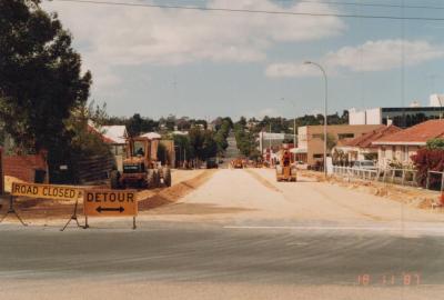
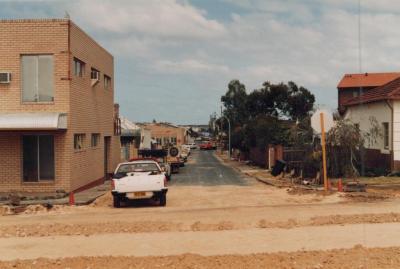
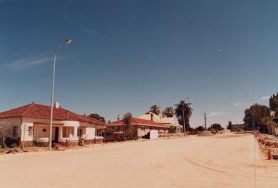
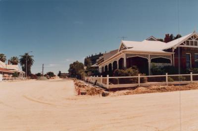
PHOTOGRAPH: 'YORK STREET POWER LINES' 1987
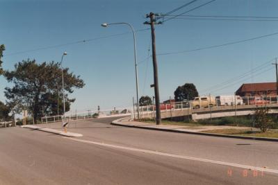
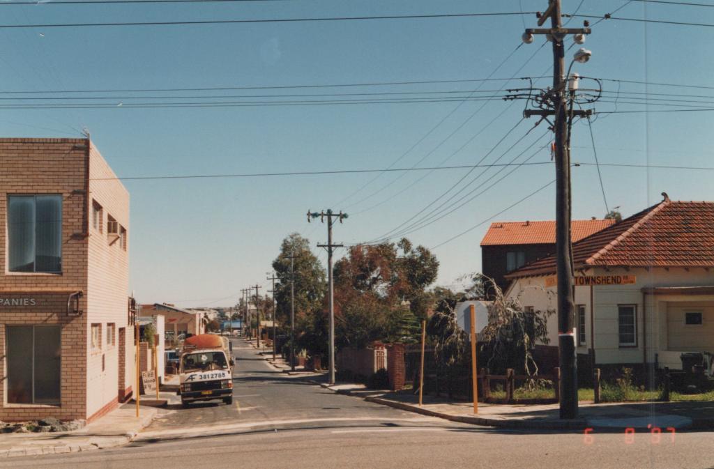
1987A coloured photograph of York Street facing West, taken from the York Street/Townshend Road intersection. There is a power line on the right corner of the intersection with two street signs on it, one for Townshend Road and one for York Street. There are power lines going all the way down the right side of the road on York Street. There is a van parked on the right side of York Street. In the bottom right corner of the image is a red date stamp which reads '6 8 '87'.
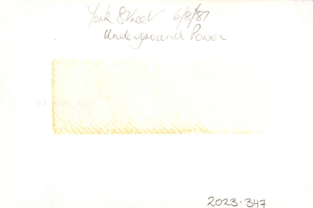
Reverse: A handwritten inscription reads 'York Street 6/8/87, Underground Power'.
A photograph of York Street before power undergrounding.
Details
Details
Open in Google Maps
Nearest geotagged records:
- PHOTOGRAPH: 'TOWNSHEND ROAD, AXON STREET RE-ALIGNMENT' 1988 (0km away)
- PHOTOGRAPH: 'YORK STREET POWER UNDERGROUNDING' 1988 (0km away)
- PHOTOGRAPH: 'YORK STREET POWER UNDERGROUNDING' 1988 (0km away)
- PHOTOGRAPH: 'YORK STREET POWER UNDERGROUNDING' 1987 (0.01km away)
- PHOTOGRAPH: 'TOWNSHEND ROAD, AXON STREET RE-ALIGNMENT' 1988 (0.01km away)
- PHOTOGRAPH: 'TOWNSHEND ROAD, AXON STREET RE-ALIGNMENT' 1988 (0.01km away)
- PHOTOGRAPH: 'TOWNSHEND ROAD STREETSCAPE' 1988 (0.01km away)
- PHOTOGRAPH: 'TOWNSHEND ROAD STREETSCAPE' 1988 (0.01km away)
- PHOTOGRAPH: 'YORK STREET POST POWER UNDERGROUNDING' 1988 (0.04km away)
- PHOTOGRAPH: 'YORK STREET POST POWER UNDERGROUNDING' 1988 (0.04km away)
Nearby places: View all geotagged records »
Other items from Subiaco Museum
- PHOTOGRAPH: 'AXON STREET RE-ALIGNMENT' 1987
- PHOTOGRAPH: 'AXON STREET RE-ALIGNMENT' 1987
- PHOTOGRAPH: 'AXON STREET RE-ALIGNMENT' 1987
- PHOTOGRAPH: 'AXON STREET RE-ALIGNMENT' 1987
- PHOTOGRAPH: 'AXON STREET RE-ALIGNMENT' 1987
- PHOTOGRAPH: 'AXON STREET RE-ALIGNMENT' 1987
- PHOTOGRAPH: 'AXON STREET RE-ALIGNMENT' 1987
- PHOTOGRAPH: 'AXON STREET RE-ALIGNMENT' 1987
- PHOTOGRAPH: 'ROBERTS ROAD NEAR AXON STREET' 1987
- PHOTOGRAPH: 'ROBERTS ROAD NEAR AXON STREET' 1987
- PHOTOGRAPH: 'ROBERTS ROAD NEAR AXON STREET' 1987
- PHOTOGRAPH: 'ROBERTS ROAD NEAR AXON STREET' 1987
