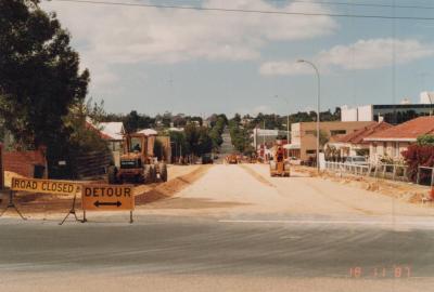
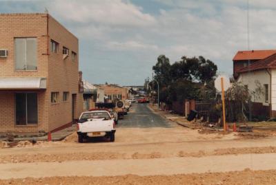
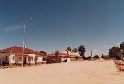
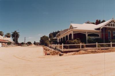
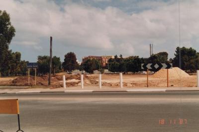
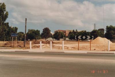
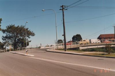
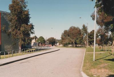
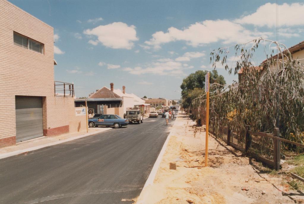
PHOTOGRAPH: 'YORK STREET POWER UNDERGROUNDING' 1988
1988A coloured photograph of York Street facing West, taken from near the York Street/Townshend Road intersection. There is a parking sign on the right side of the road, however the text of this sign is not visible. There are three pedestrians walking on the right side of the road. On the left side of the road, a blue car is entering a driveway. There are a number of cars parked on the left side of the road. A red date stamp in the bottom right corner of the image reads '24 2 '88'.
Reverse: A typed label reads 'Undergrounding power, York Street, 24/2/88'.
A photograph of York Street.
Details
Details
Open in Google Maps
Nearest geotagged records:
- PHOTOGRAPH: 'TOWNSHEND ROAD, AXON STREET RE-ALIGNMENT' 1988 (0km away)
- PHOTOGRAPH: 'YORK STREET POWER LINES' 1987 (0km away)
- PHOTOGRAPH: 'YORK STREET POWER UNDERGROUNDING' 1988 (0km away)
- PHOTOGRAPH: 'YORK STREET POWER UNDERGROUNDING' 1987 (0km away)
- PHOTOGRAPH: 'TOWNSHEND ROAD, AXON STREET RE-ALIGNMENT' 1988 (0.01km away)
- PHOTOGRAPH: 'TOWNSHEND ROAD, AXON STREET RE-ALIGNMENT' 1988 (0.01km away)
- PHOTOGRAPH: 'TOWNSHEND ROAD STREETSCAPE' 1988 (0.01km away)
- PHOTOGRAPH: 'TOWNSHEND ROAD STREETSCAPE' 1988 (0.01km away)
- PHOTOGRAPH: 'YORK STREET POST POWER UNDERGROUNDING' 1988 (0.04km away)
- PHOTOGRAPH: 'YORK STREET POST POWER UNDERGROUNDING' 1988 (0.04km away)
Nearby places: View all geotagged records »
Other items from Subiaco Museum
- PHOTOGRAPH: 'YORK STREET POWER LINES' 1987
- PHOTOGRAPH: 'AXON STREET RE-ALIGNMENT' 1987
- PHOTOGRAPH: 'AXON STREET RE-ALIGNMENT' 1987
- PHOTOGRAPH: 'AXON STREET RE-ALIGNMENT' 1987
- PHOTOGRAPH: 'AXON STREET RE-ALIGNMENT' 1987
- PHOTOGRAPH: 'AXON STREET RE-ALIGNMENT' 1987
- PHOTOGRAPH: 'AXON STREET RE-ALIGNMENT' 1987
- PHOTOGRAPH: 'AXON STREET RE-ALIGNMENT' 1987
- PHOTOGRAPH: 'AXON STREET RE-ALIGNMENT' 1987
- PHOTOGRAPH: 'ROBERTS ROAD NEAR AXON STREET' 1987
- PHOTOGRAPH: 'ROBERTS ROAD NEAR AXON STREET' 1987
- PHOTOGRAPH: 'ROBERTS ROAD NEAR AXON STREET' 1987

