
Claremont Business Precinct
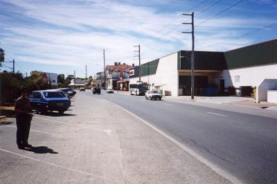
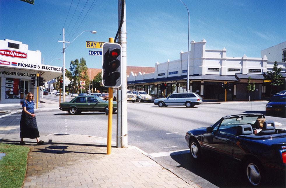
c. 1985Looking west along Stirling Highway, at the Bay View Terrace and Stirling Highway intersection. Richard's Electrical on the south west corner, the Biggie Best Shop on the north west corner. The red roof of the Claremont Town Hall in the background.
After colonization in 1829, a rough sandy track, through sandy coastal hills and jarrah forests linked Perth and Fremantle.
Convict labour was used to replace the sandy track with a road in the 1850’s. The road was constructed using felled jarrah trees cut in sections and laid flat. Limestone and gravel were put on top to complete the thoroughfare. The Perth-Fremantle Road was completed around 1858.
The Perth-Fremantle Road was declared a public highway in 1881.
Claremont Avenue was the section of the Perth-Fremantle Road that passed through Claremont.
In 1930 the Chairman of the Perth Archives Board, Dr J S Battye, suggested the name Stirling Highway 'as a memorial to the first Governor of the State.' The name change was approved by the Minister for Lands in 1932.
Captain James Stirling, the British Naval captain who had persuaded the British Government to establish the Swan River Colony, was the first Governor and Commander-in-Chief of the Swan River Colony.
The Road Boards along Stirling Highway agreed to have continuous numbering. This decision resulted in most existing property numbers along Stirling Highway being changed.
Details
Details
Copyright and Reference
Copyright and Reference
Acknowledgements to be made to 'Claremont Museum 05.206b'.
Other items from Town of Claremont Museum
-
Claremont Business Precinct
-
Claremont Business Precinct
-
Metro Bus Accident Loch Street Claremont
-
Motor Car On Albany Beach
-
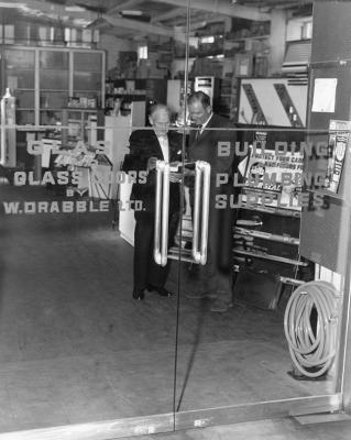
Trade Entrance, Drabbles Hardware, Leura Avenue, Claremont
-
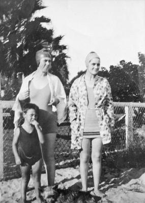
Ward Family At The Freshwater Bay
-
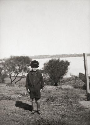
Edwin Ward
-
Lois Ward

-
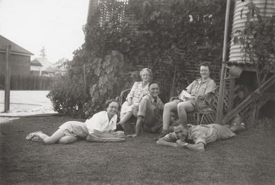
Grace Wylie And Family
-
16 Agett Road, Claremont
-
31 Stirling Road, Claremont
-
'Colwyn', 50 Victoria Avenue, Claremont
Source: Claremont Museum 05.206b
Scan this QR code to open this page on your phone ->
