Flooding In Walter Street, Claremont
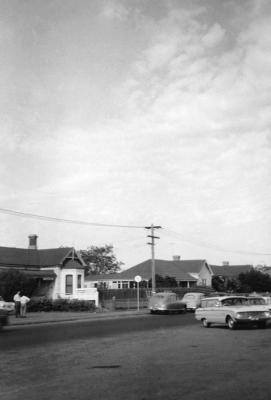
Two photographs of flooding at a low point in Walter Street, Claremont.
98.160a
A young man with trousers rolled up, holding a broom or rake standing in a lake of water across Walter Street. Trees, fence and shrubs in the background. A man and a small boy on the foorpath.
98.160b
A man with broom or rake in the water. A carpark on the left. Two cars on the higher section of the road. A building on the left. Trees on the verge.
Details
Details
Open in Google Maps
Nearest geotagged records:
- World War 1, Australia, Western Australia, DUNCKLEY, 10 Light Horse (0.1km away)
- Rogers Bros Grocers Shop (0.14km away)
- AWAS on Rottnest - W45312 WILLIAMS D (0.18km away)
- 5 Goldsworthy Road, Claremont (0.22km away)
- 7 Hammond Road (0.22km away)
- Church Of Christ, Hammond Road, Claremont (0.24km away)
- 14 Reserve Street, Claremont (0.26km away)
- World War 2, Western Australia, Rottnest Island AIF Enlistment, W4376 to WX26294 WHISLER, 1942 (0.27km away)
- Congregational Church Foundation Stone (0.29km away)
- Claremont Congregational Church And Hall (0.3km away)
Nearby places: View all geotagged records »
Copyright and Reference
Copyright and Reference
Acknowledgements to be made to 'Claremont Museum 98.160'.
Other items from Town of Claremont Museum
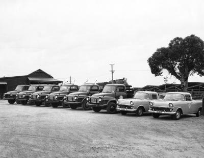
- Vehicles In The Town Of Claremont Depot
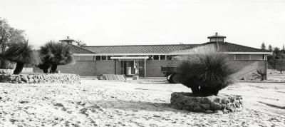
- Claremont Aquatic Centre On Completion
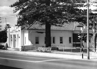
- Claremont Municipal Chambers
- Butler's Swamp Western Shore
- Butler's Swamp
- Butler's Swamp Western Shore
- Butler's Swamp To Gloucester Road
- National Bank Of Australasia And Waldby Chemist
- National Bank And Motor Lorry
- Claremont Council Chambers, Claremont Avenue
- 14 Gugeri Street, Claremont
- Gugeri Street, Claremont
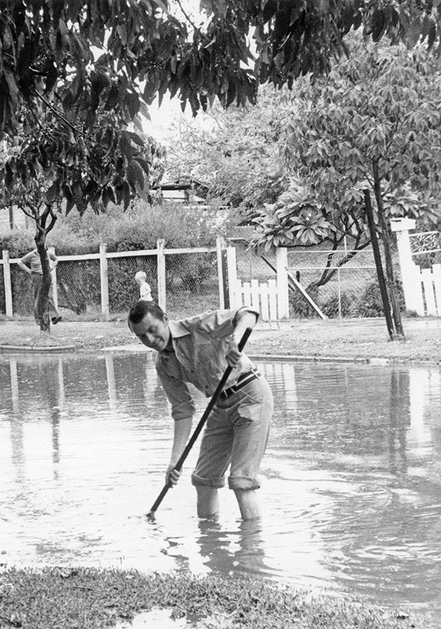
Source: Claremont Museum 98.160a
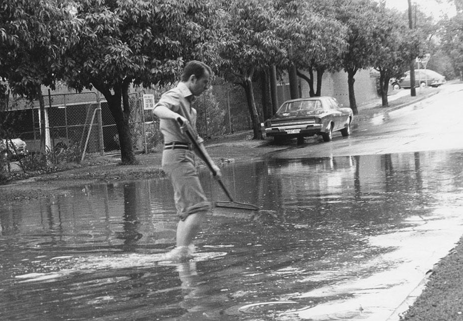
Source: Claremont Museum 98.160b
Scan this QR code to open this page on your phone ->

