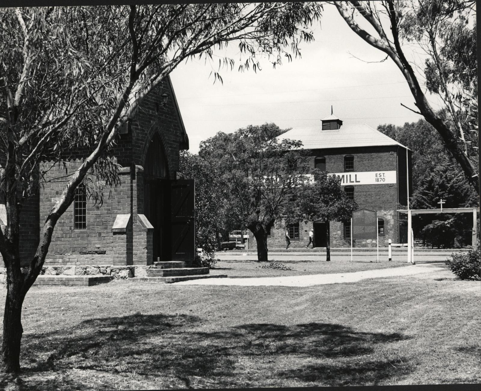
CONNORS MILL AND ST. STEPHENS CHURCH
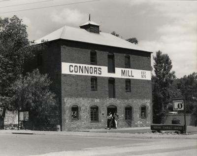
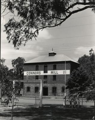
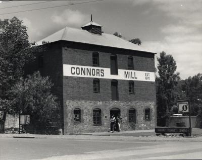
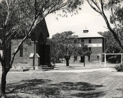
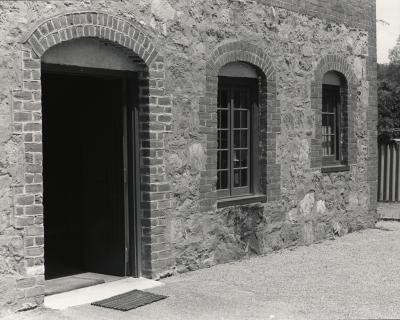
1988BW photo from riverbank of St. Stephen's Church (foreground) and Connors Mill (background)
Shows use of Mill door as entrance, with two people walking in.
Between 1975 & 2000 the Toodyay Tourist Information Centre operated out of the ground floor of Connor's Mill.
Details
Details
Duplicate of another photograph in the Shire of Toodyay museum collection, accession no. 2009.24
Part of a donation of 10 photographs taken by the same photographer during the same year (Shire of Toodyay accession numbers 2009.24 - 2009.33) made by Rev. J Tayler and her husband Dr MA Tayler, after the photographs resurfaced during a house move.
Open in Google Maps
Nearest geotagged records:
- CONNORS MILL, TOODYAY (0.01km away)
- STREET SCENE, STIRLING TERRACE, TOODYAY (0.02km away)
- ST STEPHEN'S CHURCH BELL-TOWER (0.02km away)
- CONNOR'S MILL, DERELICT (0.03km away)
- APIARY DISPLAY IN CONNOR'S MILL (0.03km away)
- APIARY DISPLAY IN CONNOR'S MILL (0.03km away)
- ST STEPHENS CHURCH, TOODYAY WITH HORSE & BUGGY (0.03km away)
- CONNOR'S MILL INTERIOR GROUND FLOOR (0.03km away)
- ST STEPHENS CHURCH, TOODYAY (0.03km away)
- CONNOR'S MILL (FORMER ROAD BOARD POWER STATION) (0.03km away)
Nearby places: View all geotagged records »
Copyright and Reference
Copyright and Reference
Shire of Toodyay heritage collection
