FLAG - CITY OF ARMADALE
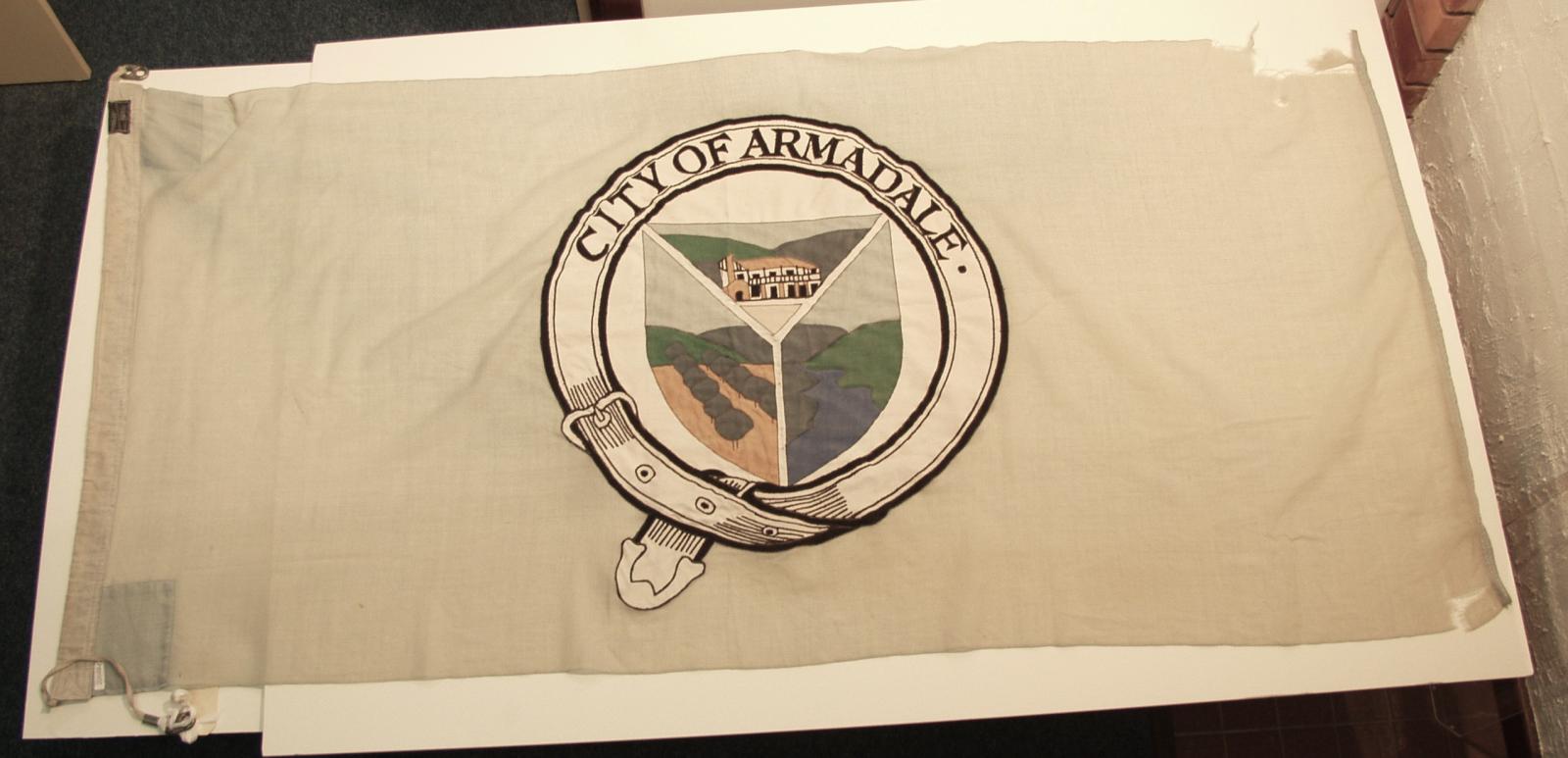
c. 2000Rectangular pale green cotton material reinforced along one short side by a strip of calico sewn in place retaining the display rope and toggles.
In the centre of the body is the City of Armadale emblem consisting of circular belt with City of Armadale within and central shield shape in three section displaying images of The Narrogin Inn on the top third, an orchard on the left third and water and hills on the right third.
There is a black label with makers marks on the lower otherside of the flag.
The City of Armadale flag consists of a shield split into three segments. At the top is the Narrogin Inn, the first inn and post office. The right has the Canning River which runs through Armadale and Kelmscott. On the left is an orchard which was an important industry in the area’s early days and still has a presence to this day. The images are separated into three by a line from the bottom of the shield that forks into a Y. The left fork is the Albany Highway and the right fork is the South Western Highway which meet in Armadale.
Details
Details
Text on label [TUDALUX / Another flag from / TUDOR HOUSE / 286 ALBANY HIGHWAY, VICTORIA PARK. / Telephone 351 1620]
LOW
Signified the transition from a Shire to a City.
City of Armadale - History House
City of Armadale - History House
Other items from City of Armadale - History House
-
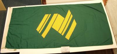
FLAG - AUSTRALIAN BICENTENERY
-
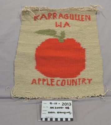
HANGING, WALL - KARRAGULLEN APPLE COUNTRY
-
PENNANT, CONCEPT DESIGN - FOR KARRAGULLEN SCHOOL
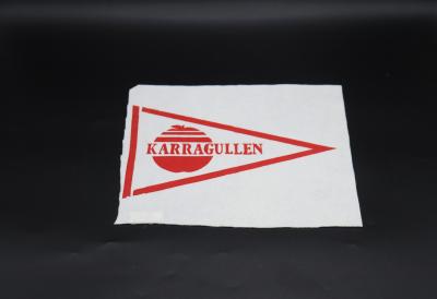
-
SHIELD, WOODEN - KARRAGULLEN PRIMARY SCHOOL P & C
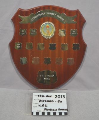
-
PHOTOGRAPH, LANDSCAPE - KARRAGULLEN PRIMARY SCHOOL
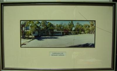
-
CERTIFICATE APPRECIATION TO KARRAGULLEN PRIMARY SCHOOL
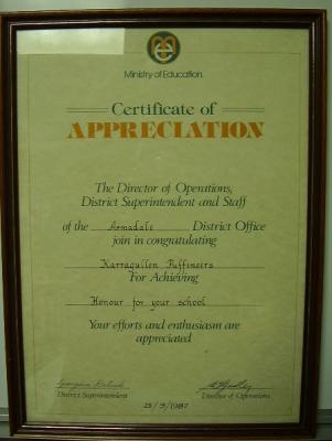
-
CERTIFICATE - ARMADALE DISTRICTS PRIMARY SCHOOLS DEBATING COMPETITION KARRAGULLEN PRIMARY SCHOOL
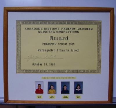
-
PHOTOGRAPH, HISTORICAL - KARRAGULLEN SCHOOL CHOIR & RECORDER GROUP 1992
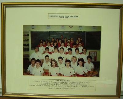
-
PHOTOGRAPH, HISTORICAL - KARRAGULLEN SCHOOL CHESS TEAM 1993
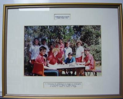
-
PHOTOGRAPH, HISTORICAL - KARRAGULLEN SCHOOL FOOTBALL TEAM 1992
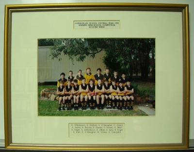
-
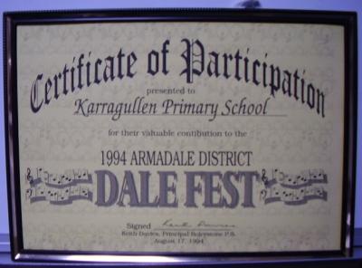
CERTIFICATE - FRAMED PARTICIPATION OF KARRAGULLEN PRIMARY SCHOOL IN DALE FEST
-
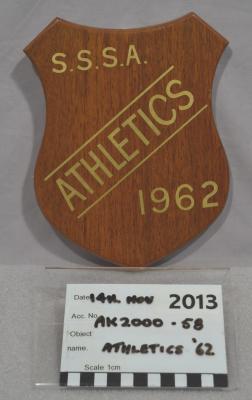
SHIELD, WOODEN - S.S.S.A. ATHLETICS 1962