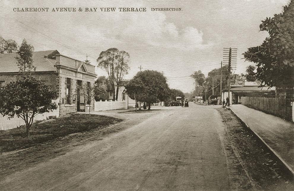
Claremont Avenue & Bay View Terrace Intersection
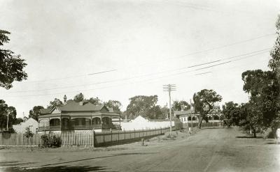
c. 1909Claremont Avenue and Bay View Terrace Intersection, looking west towards Fremantle. Municipal Chambers on left, empty block and shop on right.
Photo taken after King's Grocer Store burnt down in 1907 and before the National Bank was built in 1911. Claremont Avenue was the section of the Perth-Fremantle Road that passed through Claremont. The Perth-Fremantle Road was renamed Stirling Highway in 1932 after the first Governor of Western Australia, Admiral Sir James Stirling
Details
Details
Open in Google Maps
Nearest geotagged records:
- Claremont Municipal Chambers, Stirling Highway (0.01km away)
- Council Buildings, Town Of Claremont (0.02km away)
- Claremont Municipal Chambers (0.02km away)
- The New Claremont Library (0.02km away)
- Claremont Municipal Chambers (0.02km away)
- Claremont Municipal Chambers (0.03km away)
- Stirling Highway, Bay View Terrace Corner (0.03km away)
- AWAS on Rottnest - 4WF5980 FANCOTE (married COX) (0.03km away)
- Claremont Council Chambers, Claremont Avenue (0.04km away)
- Claremont War Memorial (0.05km away)
Nearby places: View all geotagged records »
Copyright and Reference
Copyright and Reference
Acknowledgements to be made to 'Claremont Museum 77.34'.
Other items from Town of Claremont Museum
- Emma Briggs & Children
- 61 & 63 Victoria Avenue, Claremont
- Claremont Teachers College Class
- McClure Family Home, Victoria Avenue
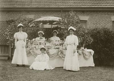
- Fete At 'Ivanhoe'
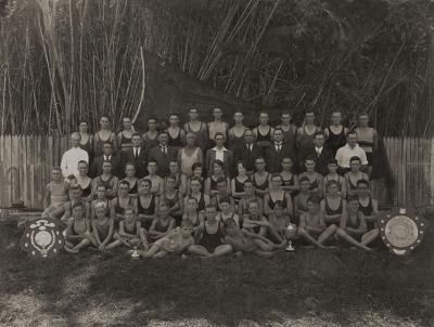
- Claremont Amateur Swimming Club Champions
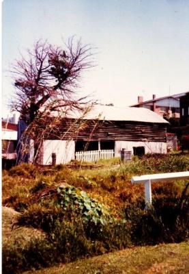
- Mews Boat Shed
- Claremont Teachers College
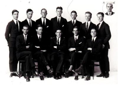
- Scotch College Class Of 1922-1923
- Captain Graeme Belleville
- Garland Family, 74 Bay View Terrace, Claremont
- 22 Barnfield Road, Claremont
Source: Claremont Museum 77.34
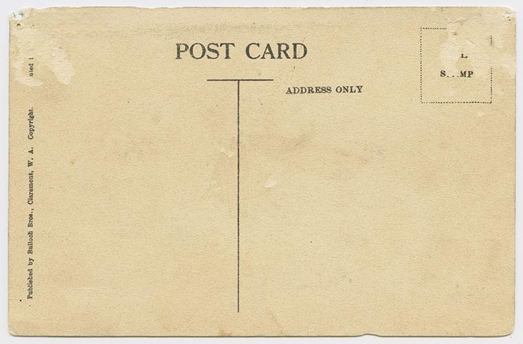
Postcard Side
Source: Claremont Museum 77.34
Scan this QR code to open this page on your phone ->

