TOODYAY RACECOURSE DIAGRAM & FIRE POSTER
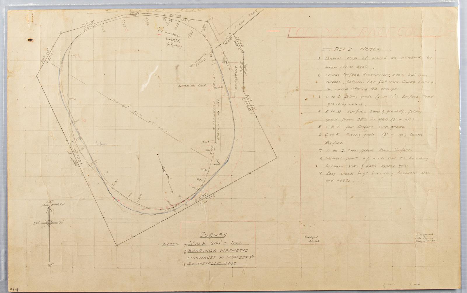
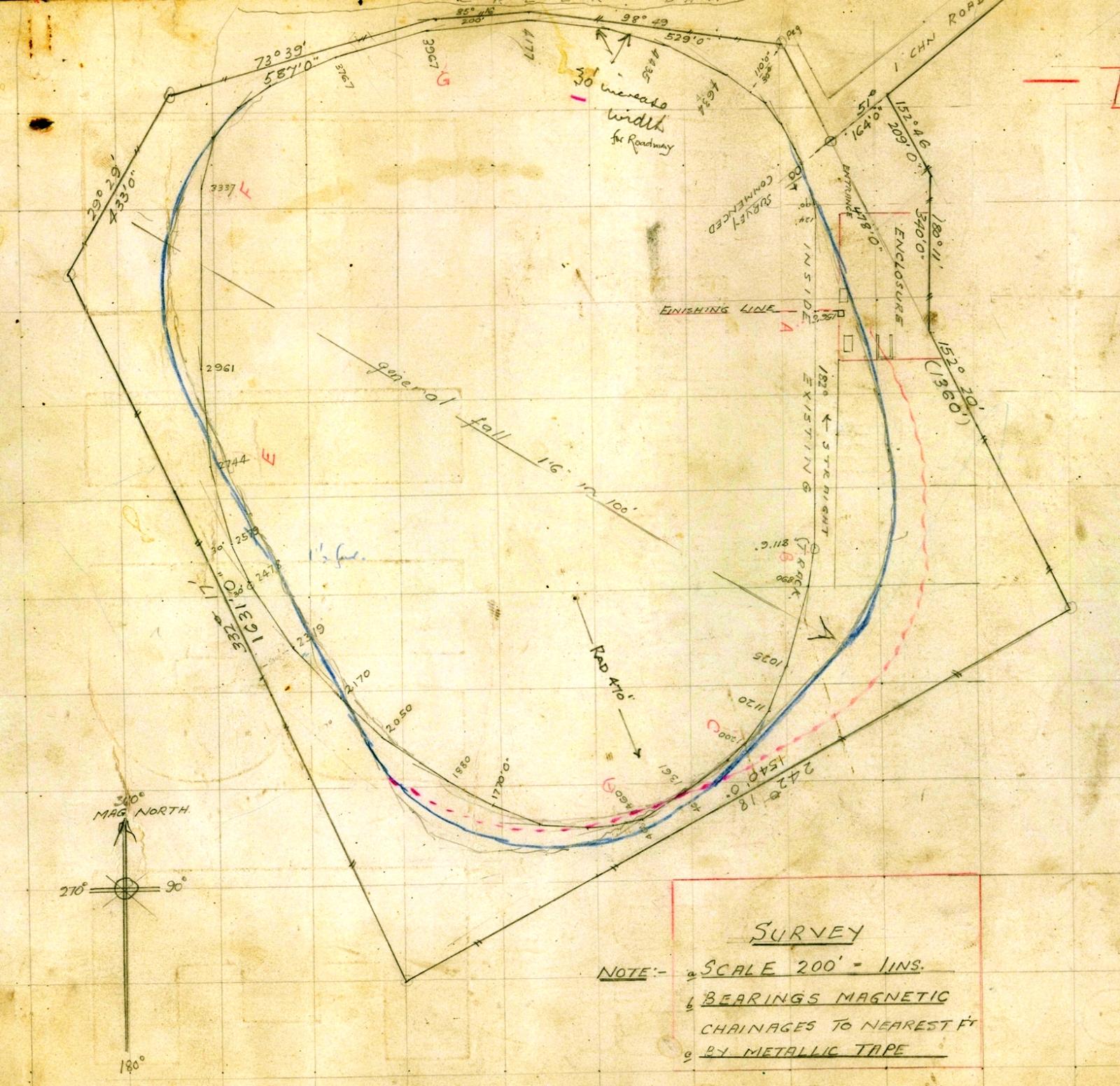
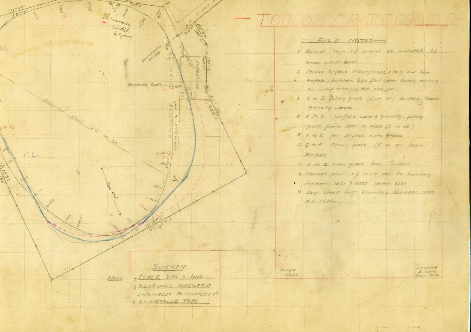
Map of the Toodyay Racecourse in 1946, drawn on the reverse of a commercially printed poster.
Side one - hand drawn survey diagram (map) and field notes re: upgrade of Toodyay Racecourse, made by Keating, Secretary Engineer, Toodyay Road Board 5/2/1946
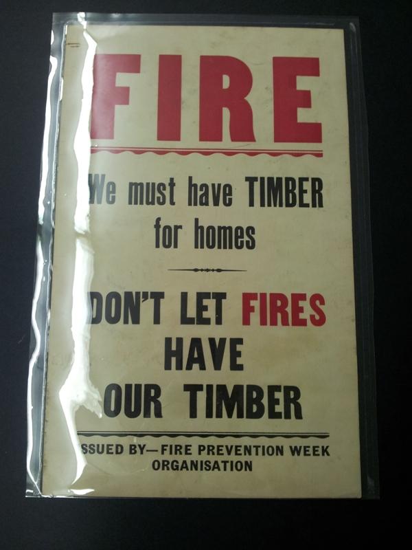
Side two - poster, issued by Fire Prevention Week Organisation. 'Fire - we must have timber for homes - don’t let fires have out timber'. Lettering in red and black on beige ground.
The diagram of the racecourse was drawn up in response to post war plans to revive horse racing in Toodyay. After an approach to the Toodyay Road Board by the Toodyay Racing Club in January 1946, the Board decided as follows: That subject to the report and petitions by the Race Club, the Board agrees to spend £100 provided that a similar amount is spent by the sporting bodies concerned; the work to be carried out to the satisfaction of the Board's engineer.”
Details
Details
M.V. Keating's notes on the plan: Parts are level loam surface; others a gravelly surface, with inclined slope up the straight. Enclosure is on east side, facing west.
Deep creek on boundary. Entry road is to the north-east.
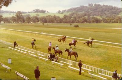
In 1949 the Toodyay Racecourse was redesigned by Toodyay Race Club Secretary Michael Vincent. Keating (who was also the Secretary–Engineer of the Toodyay Road Board). The course circuit had been plotted by Mr Thorpe, the Western Australian Turf Club course supervisor. The grandstand and the finishing straight were moved to the western side of the course. The natural slope of the land was adapted as a natural grandstand to afford spectators a good view. The work was done over 7 months by Road Board staff and busy-bees by the local residents.
More items like this
Other items from Shire of Toodyay
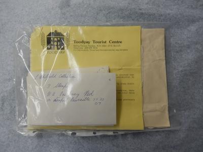
- STAMP COLLECTION; WHITFIELD
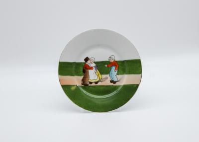
- CHILDS CHINA PLATE
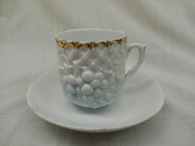
- COFFEE CUP & SAUCER
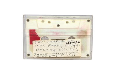
- AUDIO CASSETTE TAPES: BEE KEEPING X 2, SAM COOK ORAL HISTORY
- METAL PLAQUE & STAND; PORTRAIT, LADY
- SPECIFICATIONS, FURNITURE, NEWCASTLE MUNICIPAL COUNCIL CHAMBERS, W.A. 1899
- PLAN, NEWCASTLE HOTEL, BARS, PROPOSED REMODELLING
- PLANS; PROPOSED TOODYAY ROAD BOARD HALL & OFFICES, 1946
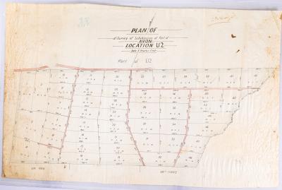
- PLAN; SUBDIVISION, SURVEY OF AVON LOCATION U2
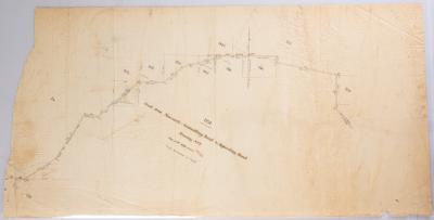
- PLAN, ROAD FROM NEWCASTLE GOOMALLING ROAD TO BEJOORDING ROAD, TRACING NO 2
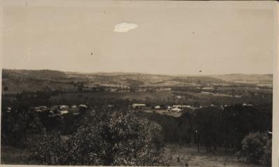
- TOODYAY FROM RIFLE RANGE
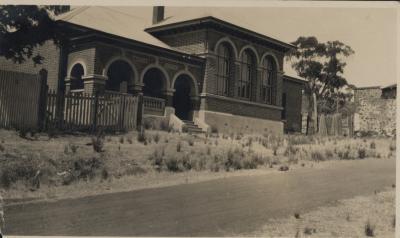
- COURT HOUSE TOODYAY
Scan this QR code to open this page on your phone ->

