Shire of Toodyay > Records
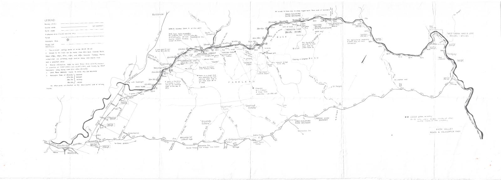
MAP, AVON VALLEY ROADS & HELICOPTER PADS
1970Subcollections
Overview
Detail map on cream paper - black print showing river, roads and helicopter pads.
Ground info taken by Land Rover 19th Feb - 10th March 1970.
Checked by air photos 1962 & 1968 - finally RAAF helicopter 5.3.70
Historical information
The reason for the compilation of this map is currently unknown.
Details
Details
Registration number
cwa-org-37-2006.31
Item type
Maps
Themes
Material
Paper
Width
1200 mm
Height or length
420 mm
Inscriptions and markings
Includes a legend detailing the features drawn
Year
Primary significance criteria
Historic significance
Last modified
Sunday, 30 January, 2022
Other items from Shire of Toodyay
-
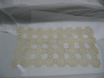
CROCHET DOILEY; MERCY SYRED
-
SMALL PLATE, CM MONOGRAM

-
SMALL PLATE, SA MONOGRAM

-
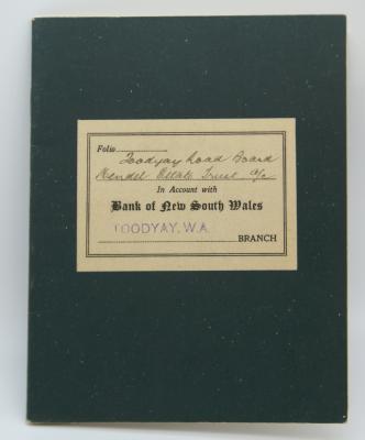
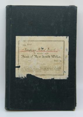
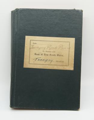
TOODYAY ROAD BOARD - BANK BOOK
-
TOODYAY ROAD BOARD - NOTES ON PROCEDURE, VICE-REGAL OCCASIONS

-
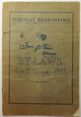
TOODYAY ROAD BOARD BY-LAWS 1911
-
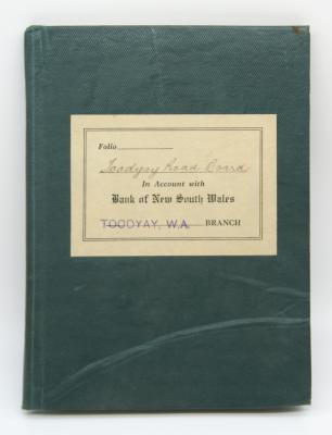
BANK BOOK; TOODYAY ROAD BOARD
-
BANK BOOK; TOODYAY ROAD BOARD
-
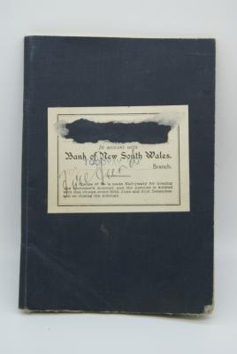
BANK BOOK AND RECEIPT; TOODYAY ROAD BOARD
-
BANK BOOK; TOODYAY ROAD BOARD
-
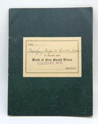
BANK OF NSW; TOODYAY INFANT HEALTH CENTRE
-
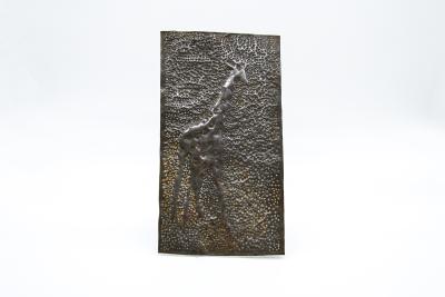
BEATEN TIN; GIRAFFE DESIGN