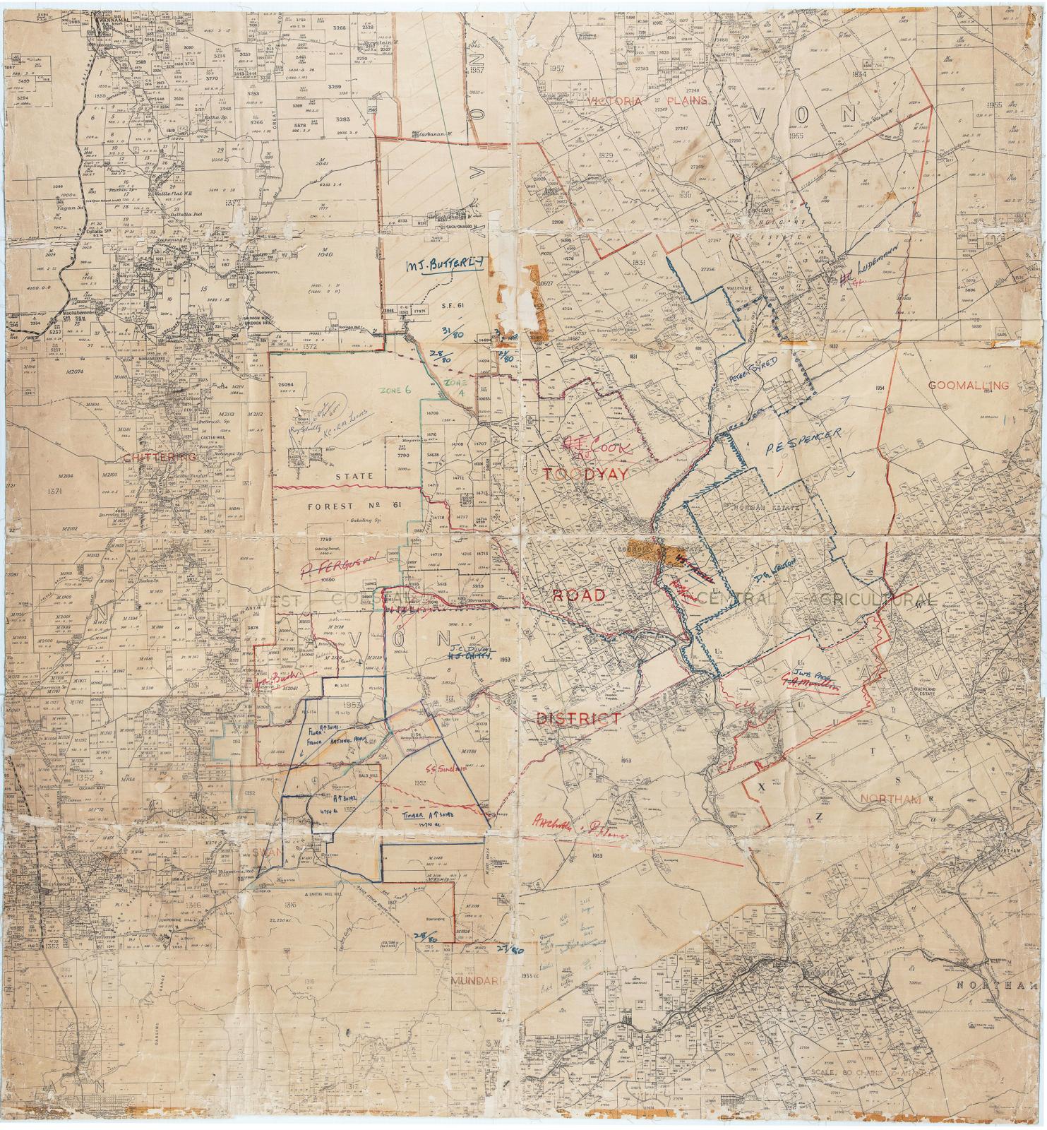
Shire of Toodyay > Records
MAP TOODYAY ROAD DISTRICT BORDERING CHITTERING, NORTHAM, VIC PLAINS & MUNDARING
1950 - 1960Overview
Large cream paper on linen - marked Avon - stamped in red "Toodyay Road District".
Showing large land holdings with handwritten notations about property ownership and borders drawn around properties in red and blue ink.
Has been folded and is worn at creases, yellowed remnant of adhesive tape at centre.
Very poor condition.
Historical information
It is unknown how this map came to be located in the Museum Workshop however it is assumed it was once used by the Shire’s Planning Department and then donated.
Details
Details
Registration number
cwa-org-37-2006.29
Item type
Maps
Themes
Material
Linen
Paper
Width
1140 mm
Height or length
1080 mm
Year
Primary significance criteria
Historic significance
Last modified
Sunday, 30 January, 2022
Other items from Shire of Toodyay
-
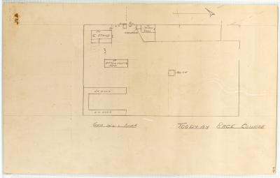
DIAGRAM TOODYAY RACECOURSE ON BACK OF FIRE POSTER
-
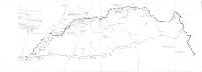
MAP, AVON VALLEY ROADS & HELICOPTER PADS
-
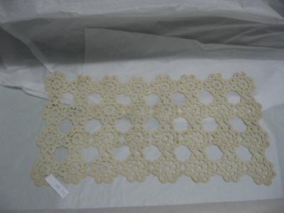
CROCHET DOILEY; MERCY SYRED
-
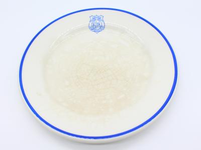
SMALL PLATE, CM MONOGRAM
-
SMALL PLATE, SA MONOGRAM

-
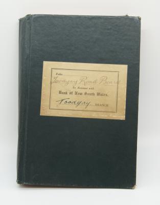
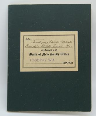
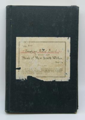
TOODYAY ROAD BOARD - BANK BOOK
-
TOODYAY ROAD BOARD - NOTES ON PROCEDURE, VICE-REGAL OCCASIONS

-
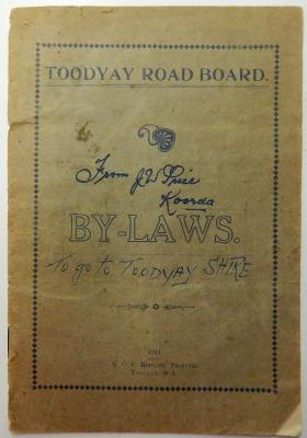
TOODYAY ROAD BOARD BY-LAWS 1911
-
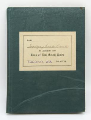
BANK BOOK; TOODYAY ROAD BOARD
-
BANK BOOK; TOODYAY ROAD BOARD
-
BANK BOOK AND RECEIPT; TOODYAY ROAD BOARD
-
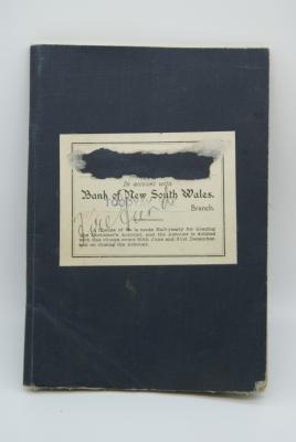
BANK BOOK; TOODYAY ROAD BOARD