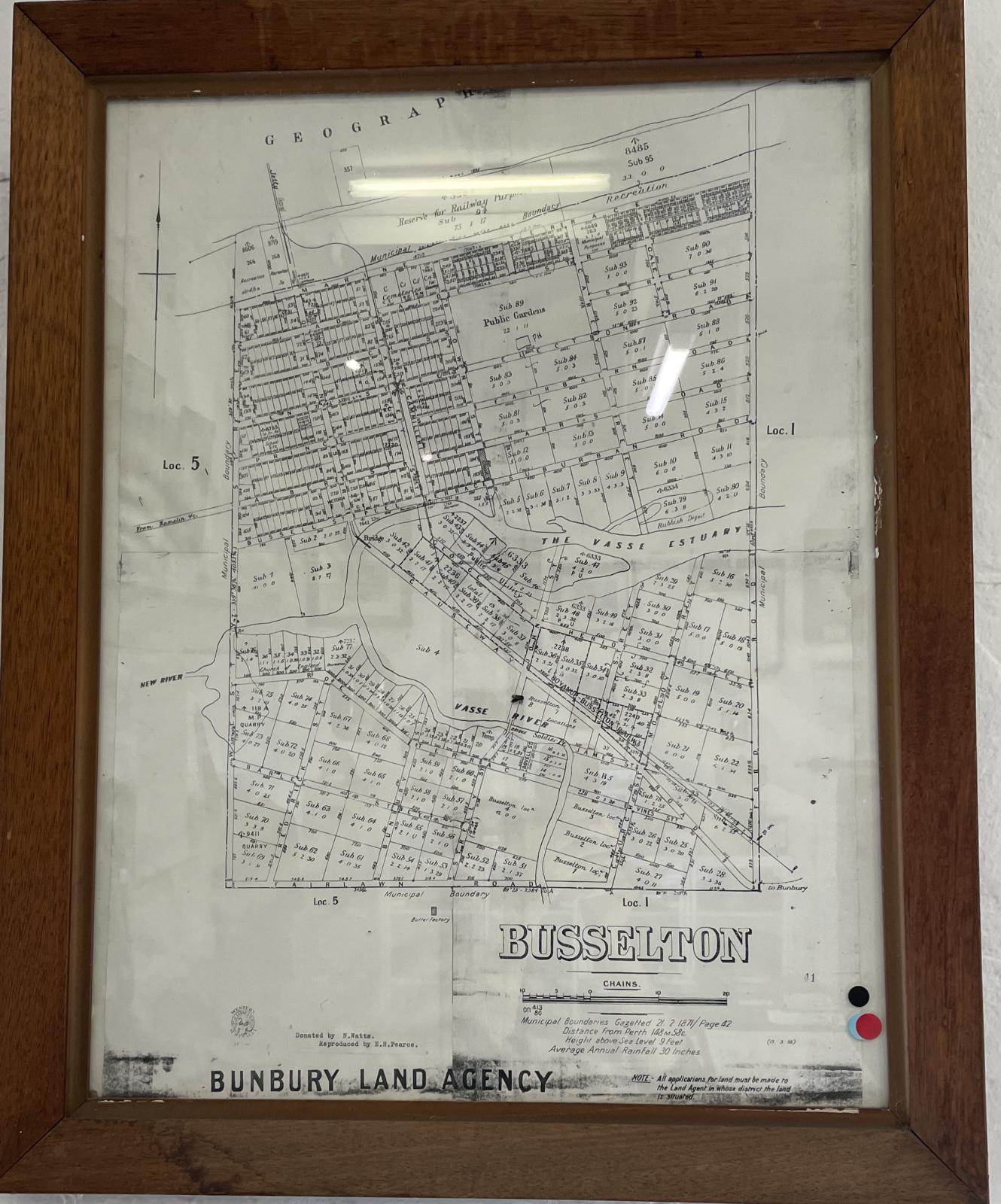
Framed Map - Busselton Municipal Boundaries c1900
c. 1900 - 1917Framed map of Busselton Municipal boundaries, produced by the Bunbury Land Agency between 1898 and 1917, showing the Municipal boundaries that were gazetted on 21st February 1871. The western boundary is where West St is now located, southern boundary Fairbairn Road and the eastern boundary occurs in a North-South line before Ford Road.
For at least 40,000 years before white settlement in 1832, the Busselton area was home to the Noongar Aboriginal people from the Wardandi and Bibulman language/ancestral groups.
The first recorded European visitors to the south west of Western Australia were the Dutch navigators who rounded the cape in 1622 naming the land mass Leeuwin’s Land. Next came Matthew Flinders who named Cape Leeuwin, in December 1801, at the start of his circumnavigation of Terra Australia. Hot on Flinders heels was the French Baudin expedition, in 1801, which named Hamelin Bay, Cape Naturaliste, Geographe Bay and Cape Leschenault. The Busselton area became known as The Vasse in memory of Thomas Timothee Vasse who was lost overboard from the Baudin expedition.
The first European settlers in the Busselton area were the Bussell family, George Layman, and the Chapman brothers, who relocated from their location on the Blackwood River.
John Garrett Bussell first visited Busselton in December 1831, describing the land as follows: "The country as we advanced improved rapidly; the ground on which we trod was a vivid green, unsullied with burnt sticks and blackened grass trees".
Bussell was granted land in the area in July 1832 and the settlers moved there in April 1834.
From 1835 the people in Perth referred to The Vasse as Busselton. It was laid out as a town in 1839 and in June 1847, The Vasse settlement was officially gazetted as “Busselton.”
Details
Details
Production of this map can be dated to between 1898-1917 as it shows the original Butter Factory on Richard Gale's property on the corner of Strelly St and Fairlawn Rd but does not show any development at the site on this Butter Factory in Peel Terrace where building started in 1917.
Related Objects
Related Objects
Other items from Busselton Historical Society
-
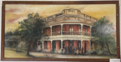
Painting - "Vasse Hotel" by Matt Robinson
-
Section of 1929 Wonnerup Floodgates

-
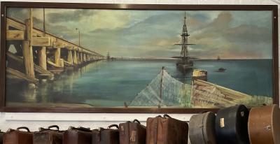
Painting - "Busselton Jetty" by Matt Robinson
-
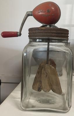
Glass Jar "Blow" Butter Churn
-
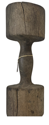
Butter Mallet
-
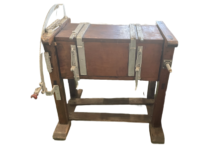
Commercial Wooden Butter Cutter
-
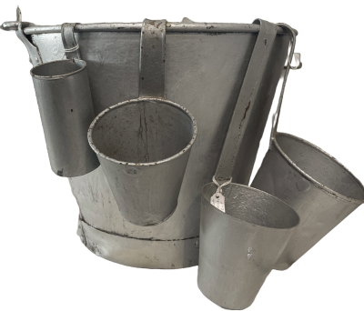
Galvanised Cream Measuring cups and bucket
-
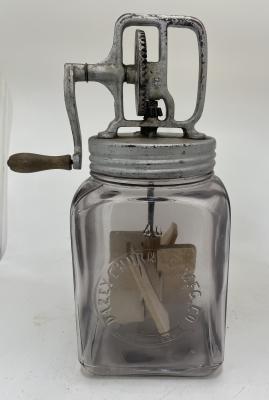
Glass Jar with Metal Lid & Handle - Dazey Churn
-
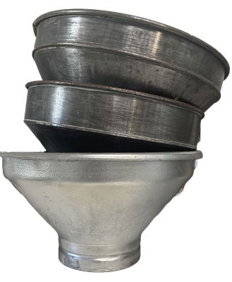
Metal Milk Strainers
-
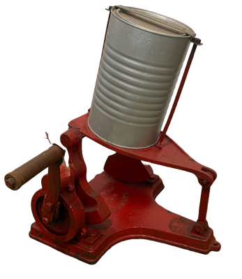
Kangaroo Minute Butter Churn
-
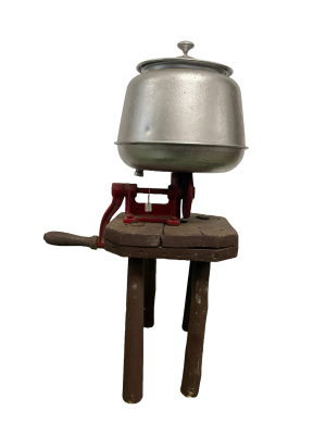
Sunrise Butter Churn mounted on wooden milking stool
-
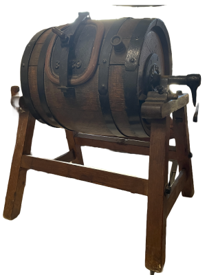
Oak Barrel Butter Churn on a stand
Scan this QR code to open this page on your phone ->