Shire of Toodyay > Records
TOODYAY TOWNSITE MAP C1950S
c. 1950 - 1959Subcollections
Overview
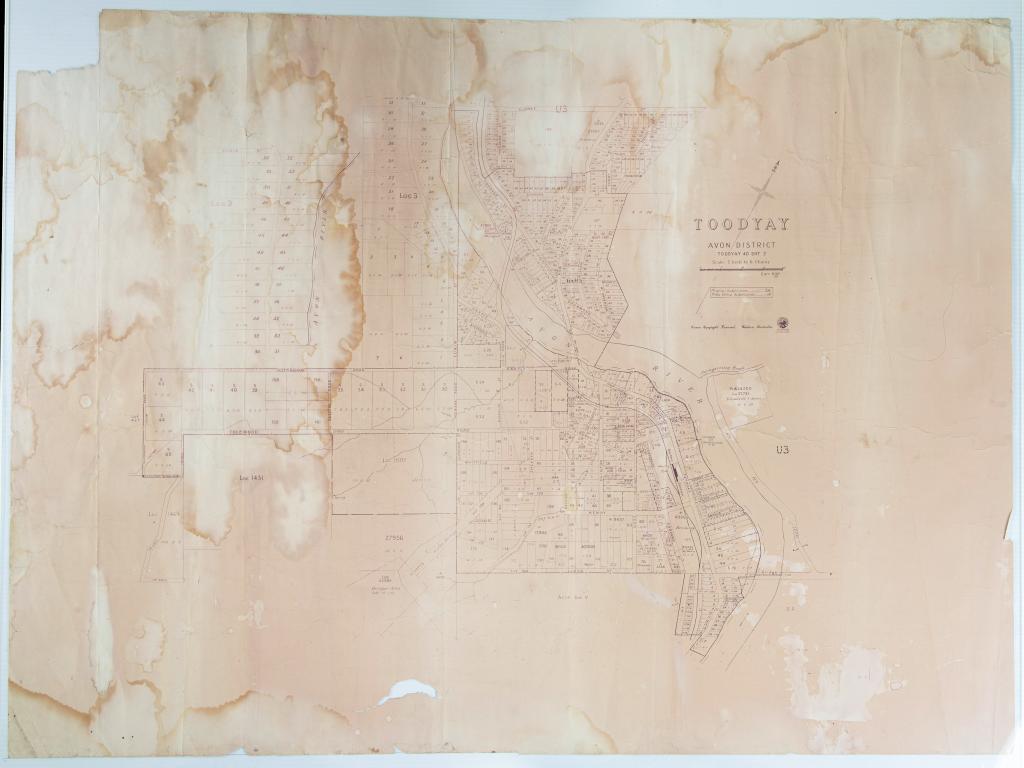
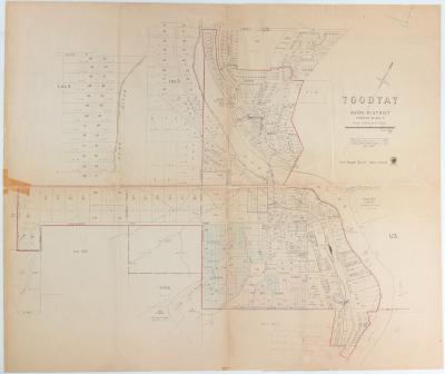
WA Dept. of Lands & Survey Toodyay townsite map showing roads and property subdivisions.
Titled 'Toodyay 40 SHT 2. Scale 11 inches to 6 chains'
Dated pre1960s (early) as alignment of narrow gauge railway line in place.
Map is water damaged, affected by light exposure & torn. Some small sections are missing.
Historical information
Found in cardboard tube rolled with West Toodyay townsite map 2015.2 along with other objects in back shed by new owner of property, Craig Marsland. Property formerly owned by the Ralph family. Offered to the Toodyay Historical Society first before being passed on to the museum.
Details
Details
Registration number
cwa-org-37-2015.1
Item type
Documents
Material
Ink
Rag Paper
Width
102 cm
Height or length
76 cm
Inscriptions and markings
Government Stamp: WV Fyfe, Surveyor General, WA Dept of Lands & Survey
Year
Statement of significance
Historic:
Representativeness:
Scientific:
Provenance:
Primary significance criteria
Historic significance
Scientific or research significance
Last modified
Tuesday, 8 August, 2023
Completeness
More items like this
Other items from Shire of Toodyay
-
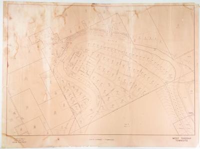
WEST TOODYAY TOWNSITE MAP AUGUST 1969
-
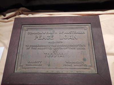
PEACE LOAN 1919 PLAQUE
-
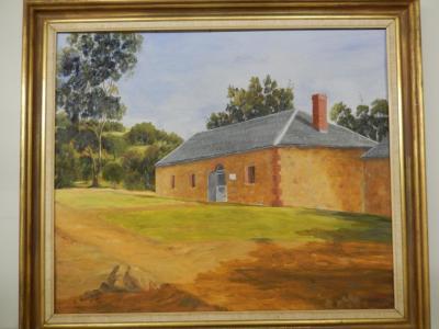
NEWCASTLE GAOL
-
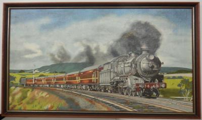
STEAM TRAIN
-
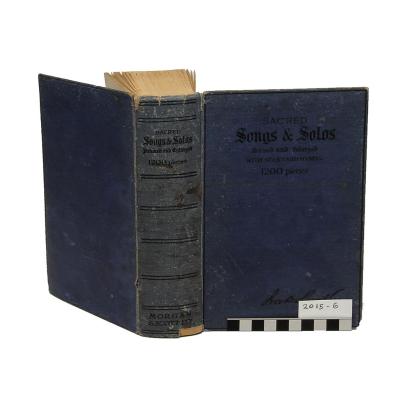
HYMN BOOK, SACRED SONGS & SOLOS
-
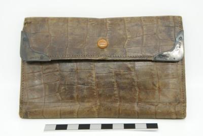
WALLET & CONTENTS, C1919
-
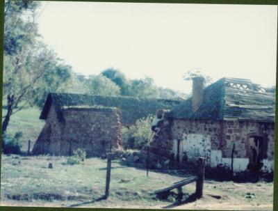
NEWCASTLE GAOL RUINS, C1960/61
-
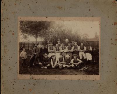
NEWCASTLE FOOTBALL TEAM 1905
-
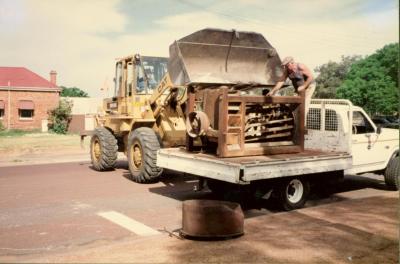
MILLING MACHINERY; BRAN SIEVE
-
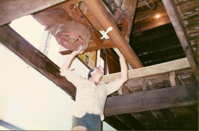
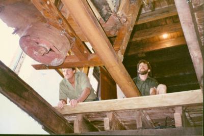
MILLING MACHINERY; INSTALLATION
-
MILLING MACHINERY; INSTALLATION
-
CONNOR'S MILL; EQUIPMENT INSTALLATION