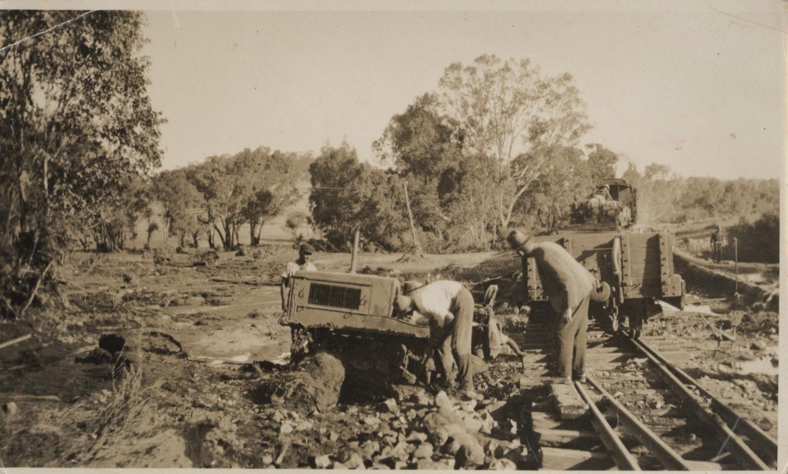
WASHAWAY FROM FLOOD AT MILL FARM
1936Black and white photo of three men working around a piece of derailed machinery. A rail line is visible in the rh side of image with engine and low carriages (freight not persons) There is a lot of rock rubble and debris around the rail line. There are trees in the background.
"Washaway at Mill Farm Toodyay, Floods 1936". Written on reverse the comment, " 10 inches of rain in twenty four hours"
Details
Details
Open in Google Maps
Nearest geotagged records:
- DRUMMOND'S MILL, TOODYAY (0.1km away)
- DRUMMOND'S STEAM MILL, TOODYAY (0.1km away)
- TOODYAY CEMETERY; ENTRANCE GATES (1.36km away)
- TOODYAY CEMETERY; FUNCTION (1.36km away)
- AVONDALE, TOODYAY (1.46km away)
- AVONDALE SCENE (1.46km away)
- AVONDALE BUILDINGS (1.46km away)
- SANDALWOOD CARTERS (1.66km away)
- HAWTHORNDEN HOMESTEAD, TOODYAY (1.71km away)
- VIEW OF NORTH NEWCASTLE (TOODYAY) (1.85km away)
Nearby places: View all geotagged records »
Other items from Shire of Toodyay
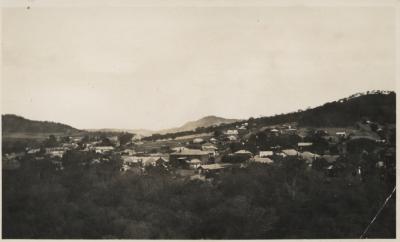
- TOODYAY 1935
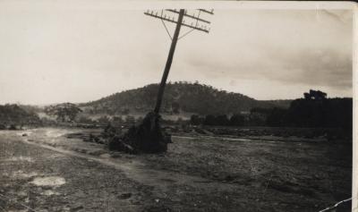
- TELEPHONE POLE BROKEN AMONGST DEBRIS
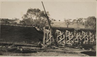
- BRIDGE IN AFTERMATH OF FLOOD
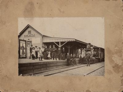
- NEWCASTLE RAILWAY STATION 1897
- CIVIC RECEPTION, NEWCASTLE COUNCIL CHAMBERS, 1908
- SCHOOL GROUP PORTRAIT
- LIGHT HORSE SOLDIERS IN CLINTON STREET, TOODYAY
- FAMILY PORTRAIT
- PORTRAIT UNKNOWN MAN
- PORTRAIT UNKNOWN MAN
- RAIL SIDING INDUSTRIAL EXTRACTS
- TOODYAY
