

Town of Claremont Museum > Records
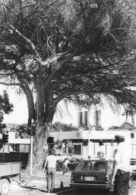
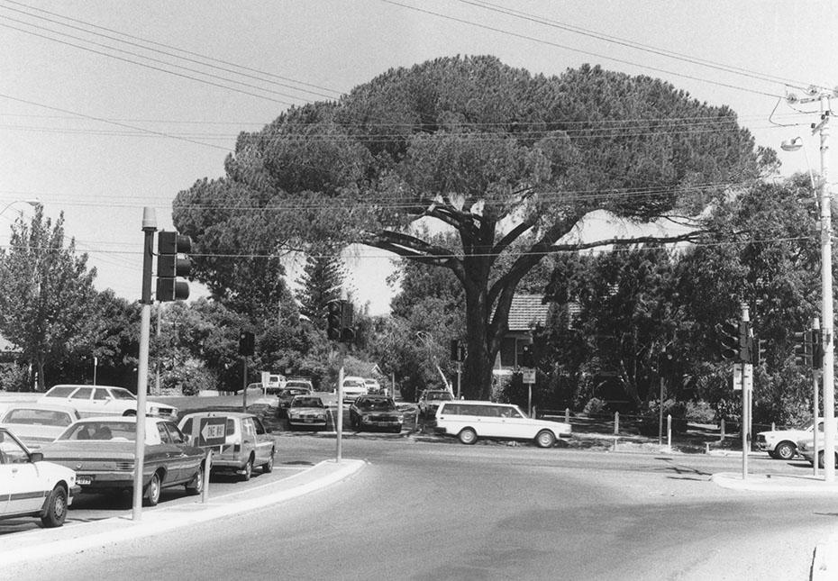
Pine Tree, Queenslea Drive, Claremont
Overview
Looking south to the intersection of Stirling Road and Stirling Highway with cars stopped at traffic lights. The buildings of Christ Church Grammar School are hidden by trees in the grounds and a large stone pine tree on the verge on the corner of Queenslea Drive and Stirling Highway.
Details
Details
Registration number
cwa-org-28--4-288-a
Item type
Photographs
Themes
Material
Photographic Materials
Place made
Google Maps search term / URL
https://www.google.com/maps/embed?pb=!4v1646792292990!6m8!1m7!1setMG0c9pYHTfyClrNTCy_Q!2m2!1d-31.98405423371775!2d115.7778091111519!3f154.8131298027113!4f10.370332761670795!5f0.7820865974627469
Geotag
-31.984039602897, 115.77778232411
Open in Google Maps
Nearest geotagged records:
Nearby places: View all geotagged records »
Open in Google Maps
Nearest geotagged records:
- Christ Church (0.08km away)
- World War 2, Western Australia, Rottnest Island AIF Enlistment, W233867 to WX29511 TANGNEY, 1942 (0.08km away)
- Myola Club (0.12km away)
- AWAS on Rottnest - WF96314 CROSS (0.14km away)
- World War 1, Australia, Western Australia, 523 PHILLP, 10 Light Horse (0.16km away)
- Claremont Methodist Church (0.22km away)
- Claremont Methodist Church (0.22km away)
- Claremont Methodist Church (0.22km away)
- Irene Knight, 1 Dean Street, Claremont (0.24km away)
- 10 Barnfield Road, Claremont (0.24km away)
Nearby places: View all geotagged records »
Links to additional resources
Claremont Museum. [www.claremont.wa.gov.au]
Last modified
Saturday, 27 June, 2026
Completeness
Copyright and Reference
Copyright and Reference
Rights category
Life of creator +70 years
Attribution requirements
Acknowledgements to be made to 'Claremont Museum 04.288a'.
Rights holder
Claremont Museum, Town of Claremont, Western Australia, 6010
More items like this
Other items from Town of Claremont Museum
-
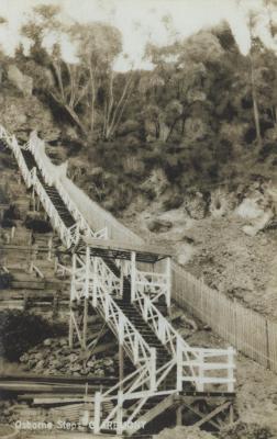
Osborne Steps
-
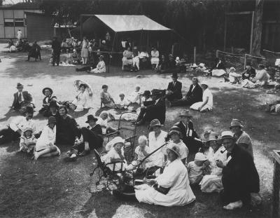
Claremont Council Workers Picnic At The Zoo
-
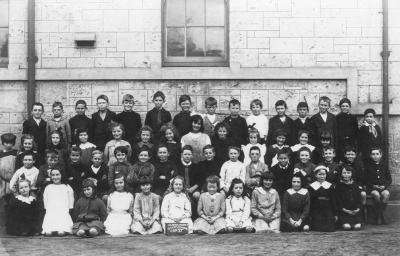
Claremont State School
-
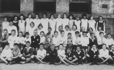
Claremont State School
-
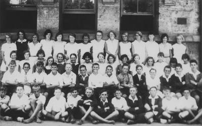
Claremont State School
-
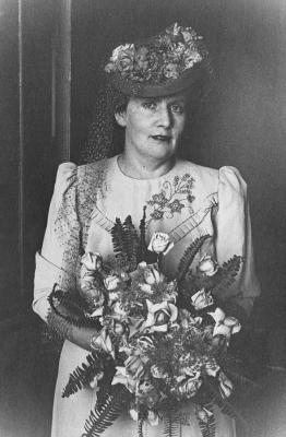
Dorothy Tangney
-
Dorothy And Phyllis Tangney
-
Claremont State School
-
Claremont State School
-
Claremont State School
-
Claremont State School
-
Shaw Family On The Bay Road Reserve Jetty
Pine Tree, Queenslea Drive, Claremont
Source: Claremont Museum 04.288a
Source: Claremont Museum 04.288a
Scan this QR code to open this page on your phone ->
