
Katanning Historical Society > Records
Aerial Photograph of Katanning
c. 1970Subcollections
Overview
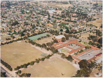
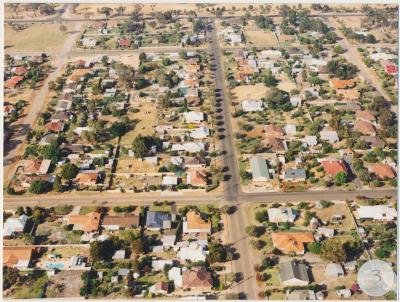
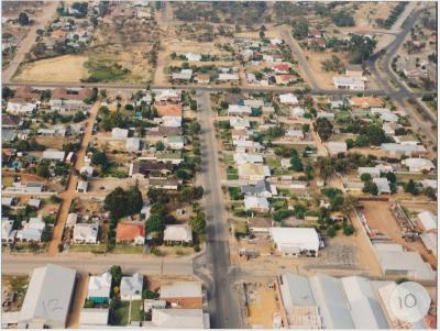
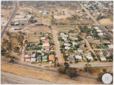
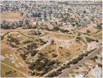
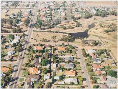
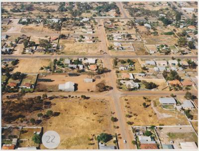
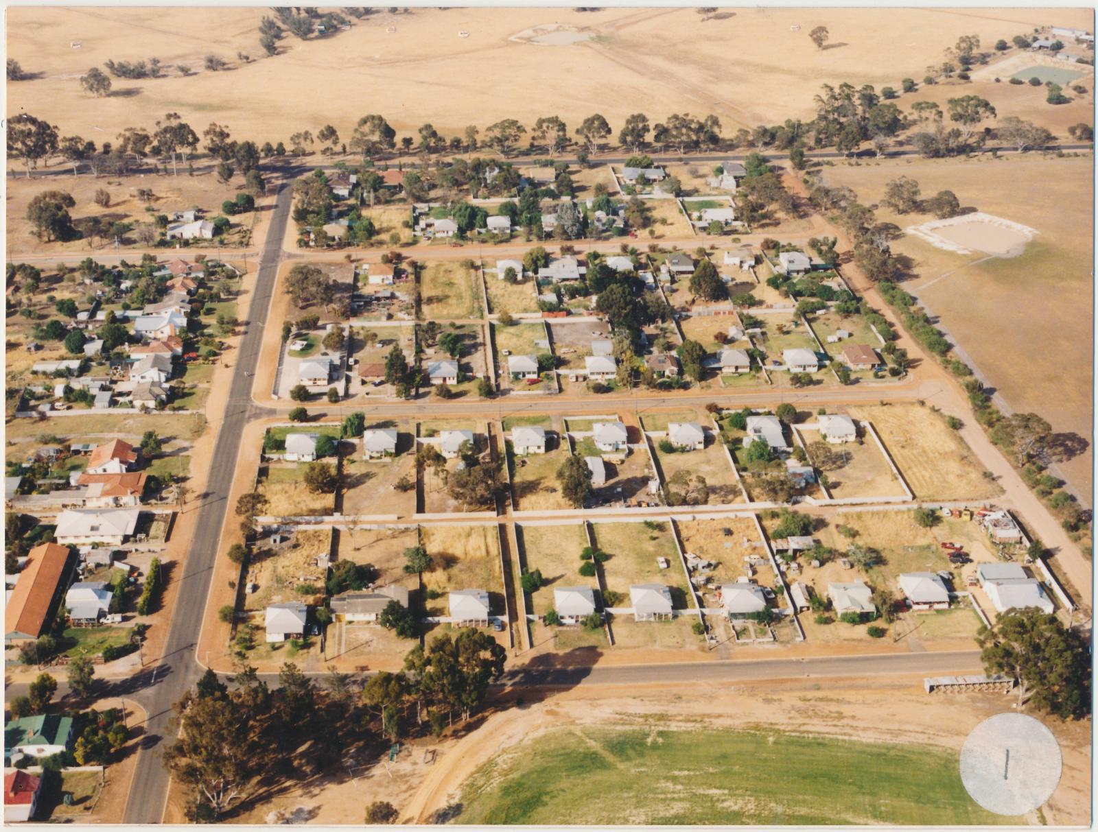
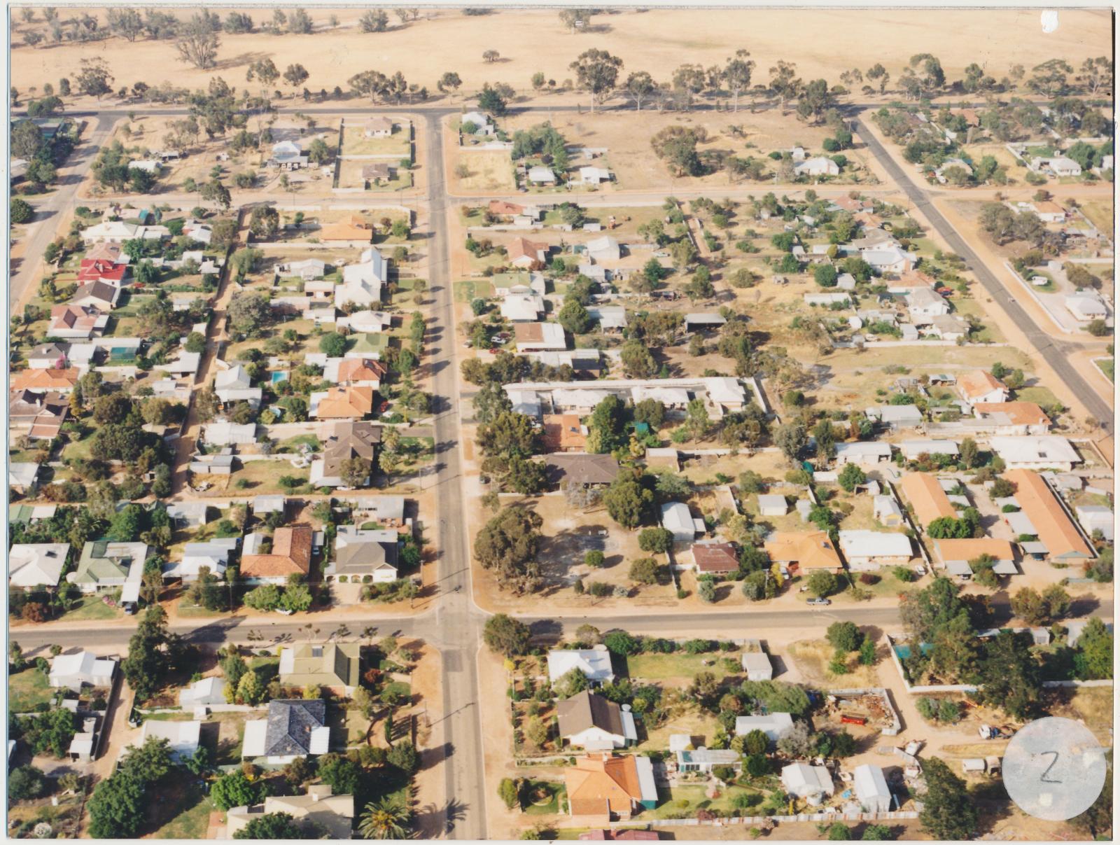
Two coloured photographs of aerial photographs of Katanning townsite.
Historical information
The photograph that has a sticker with the number one shows the Great Southern Highway right in the background, the bitumen road on the left running perpendicular to the highway is Pemble Street. In the foreground are grass oval of the Recreation Centre and the road immediately behind is Blantyre Street.
The photograph that has a sticker with the number two shows the Great Southern Highway right in the background, the bitumen street in the centre is Avon Street, and the street running perpendicular is Blantyre Street, the street on the far right is Pemble Street.
Details
Details
Registration number
cwa-org-202-HSP2026.278
Item type
Photographs
Material
Photographic Paper
Width
20.2000 cm
Height or length
15.2000 cm
Year
Primary significance criteria
Historic significance
Social or spiritual significance
Last modified
Friday, 31 July, 2026
Completeness
Copyright and Reference
Copyright and Reference
Rights category
Other
Attribution requirements
Courtesy of Katanning Historical Society.
Other items from Katanning Historical Society
-
Aerial Photograph of Katanning
-
Interior view of Datatine Hall
-
Aerial Photograph of Katanning
-
Aerial Photograph of Katanning
-
Aerial Photograph of Katanning
-
Aerial Photograph of Katanning
-
Aerial Photograph of Katanning
-
Aerial Photograph of Katanning
-
Aerial Photograph of Katanning
-
Aerial Photograph of Katanning
-
Aerial Photograph of Katanning
-
Interior view of Datatine Hall
Front view Aerial Photograph of Katanning
Back view Aerial Photograph of Katanning
Scan this QR code to open this page on your phone ->
