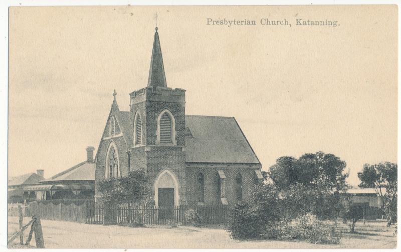
Objects, photographs and documents of buildings, farm sheds and houses, streets and landscapes within the Shire of Katanning, which includes the localities of Badgebup, Carrolup, Coblinine, Coyrecup, Eticup, Ewlyamartup, Marracoonda, Moojebing, Murdong, Pinwernying, South Glencoe and South Datatine.
Objects which show the fixtures, or fittings of the buildings.
Documents associated with the buildings including plans, renovations or alterations.
There are a small number of items from neighbouring shires, of Dumbleyung, Woodanilling and Broomehill as prior to 1909, 1892 and 1906 these shires or road boards respectively did not exist.
The Katanning Road Board came into existence in 18th May 1892 at the same time as Broomehill.
