
Aerial Photograph of Katanning
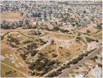
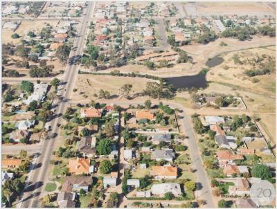
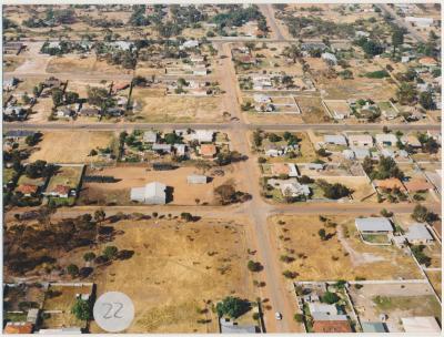
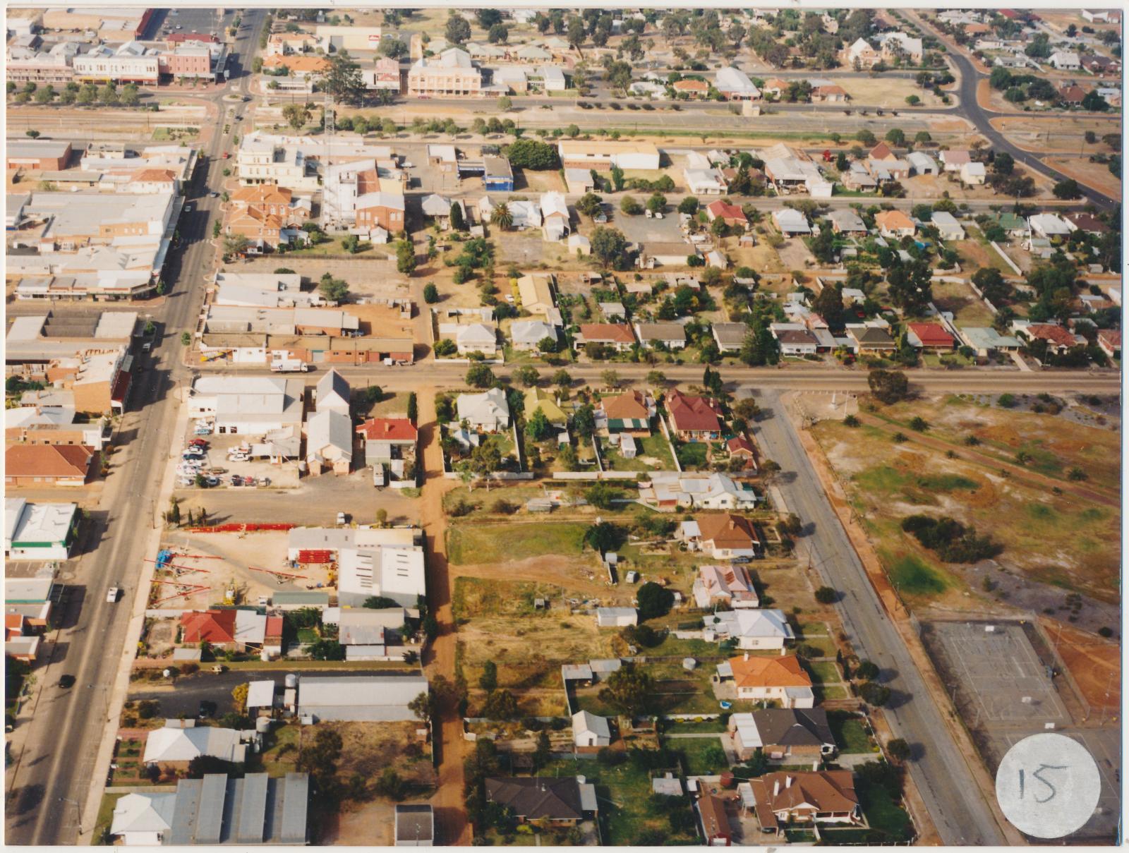
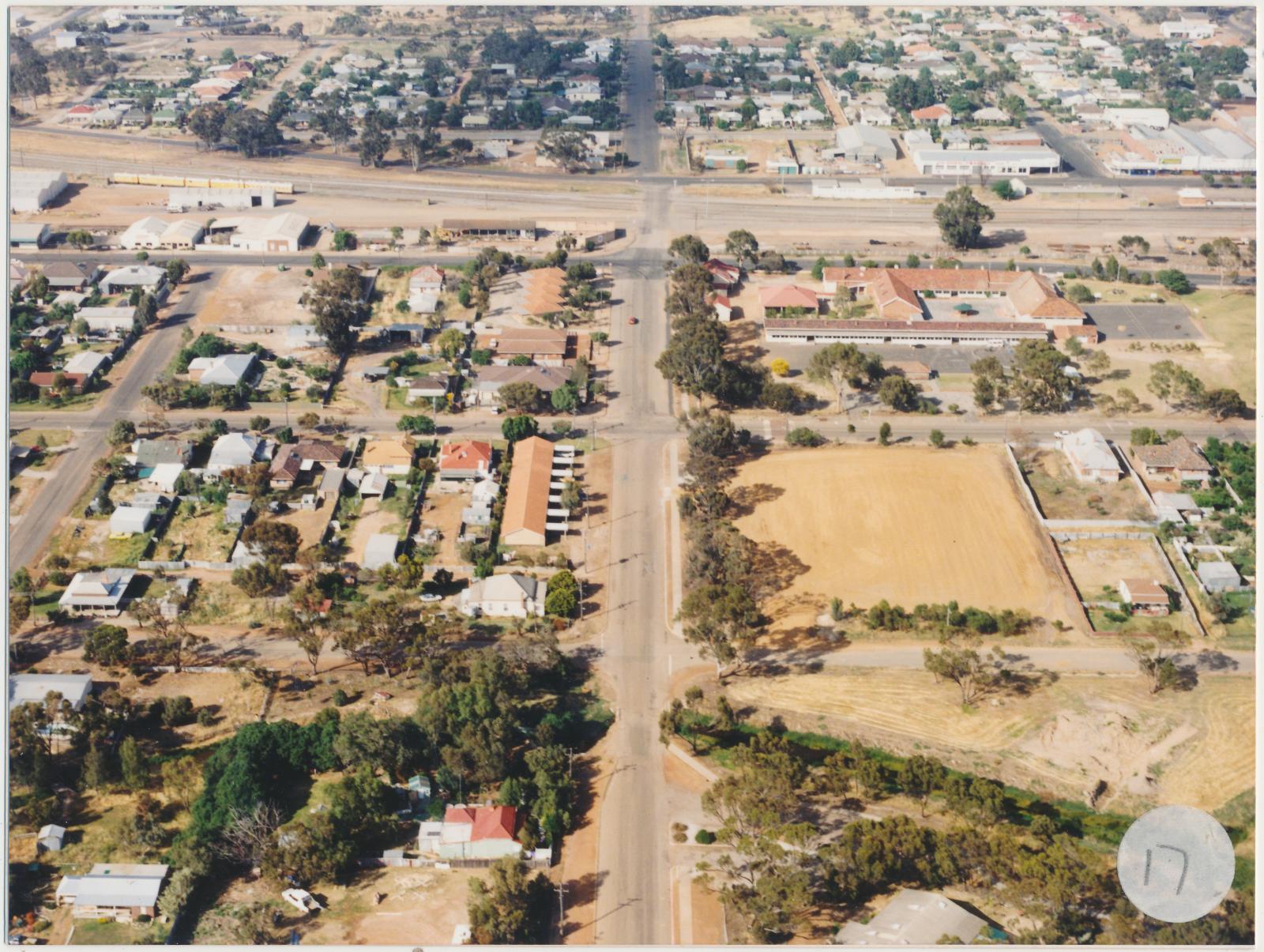
c. 1970Two coloured photographs of aerial views of Katanning.
The photograph that has a sticker with the number fifteen shows Austral Terrace in the far background, the Katanning Flour Mill (in 2026 the Premier Mill), to the left of the intersection with Clive Street, on the right is the Town Hall (Two storey white building). Clive Street is running from the bottom of the photograph to the top on the left of the photograph. In front of Austral Terrace across the railway line are Taylor Street(partly visible), Richardson Street and then Carew Street. At the far right of Richardson Street on the corner is the Katanning Historical Museum site.
The photograph that has a sticker with the number seventeen shows the Daping Street running from the left to the right side of the photograph in the background. The street that it intersects and that is running perpendicular is Bokarup St. The cluster of buildings with red roofs on the right side of Bokarup Street is the Katanning Primary School. On the left buildings with light red roofs are two blocks of flats.
Details
Details
Copyright and Reference
Copyright and Reference
Courtesy of Katanning Historical Society.
Other items from Katanning Historical Society
-
Aerial Photograph of Katanning
-
Aerial Photograph of Katanning
-
Aerial Photograph of Katanning
-
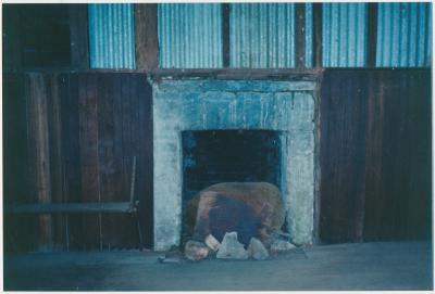
Interior view of Datatine Hall
-
Great Southern Herald Office
-
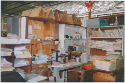
Great Southern Herald Office
-
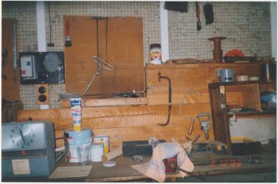
Great Southern Herald Office
-
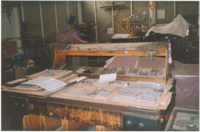
Great Southern Herald Office
-
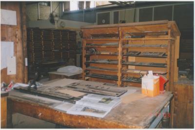
Great Southern Herald Office
-
Great Southern Herald Office
-
Great Southern Herald Office
-
Great Southern Herald Office
Scan this QR code to open this page on your phone ->
