
Aerial Photograph of Katanning
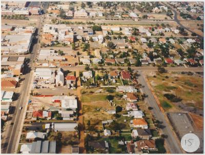
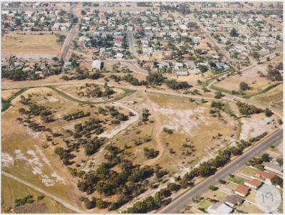
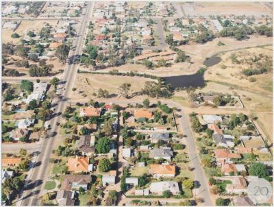
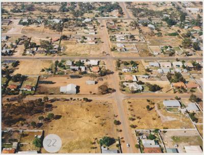
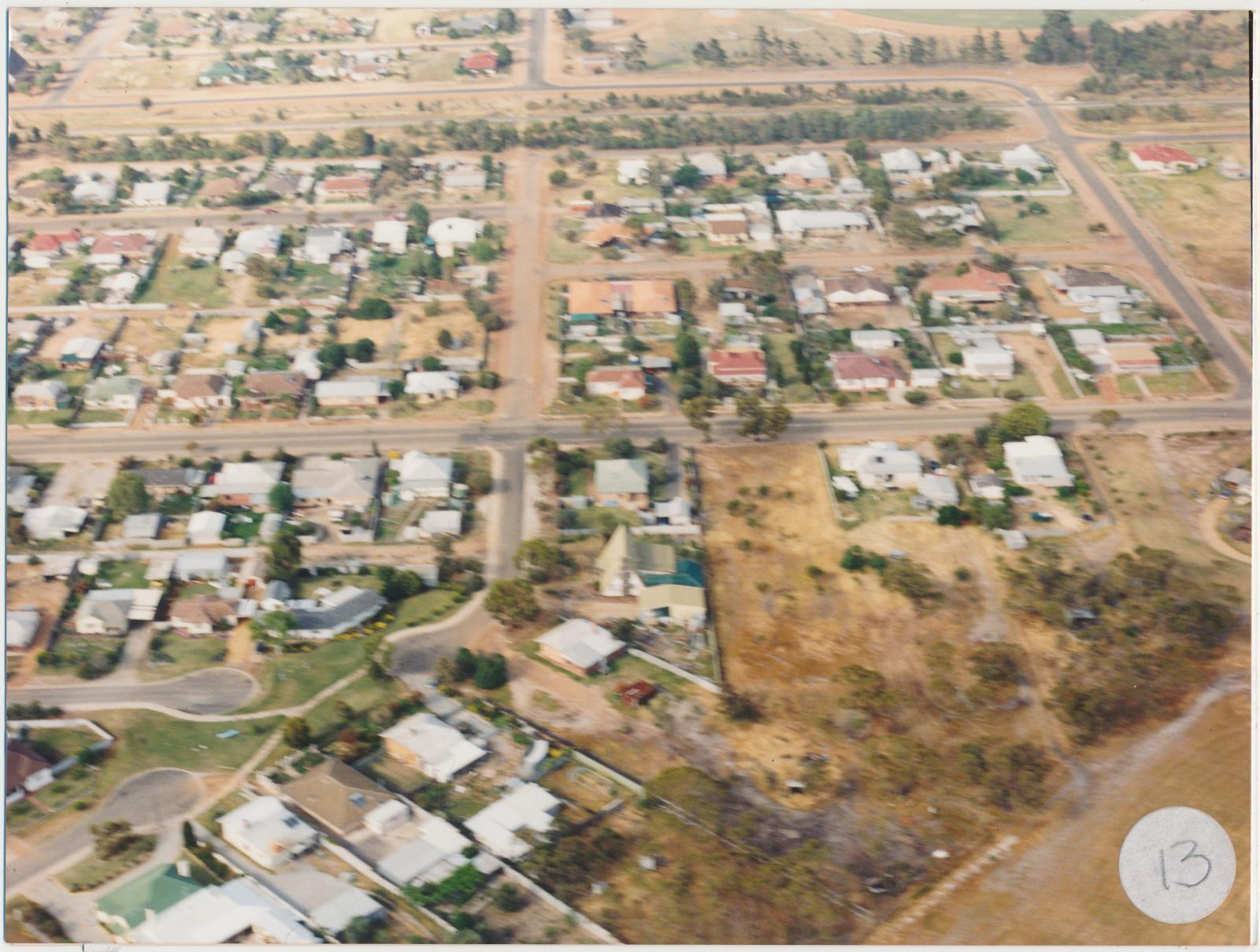
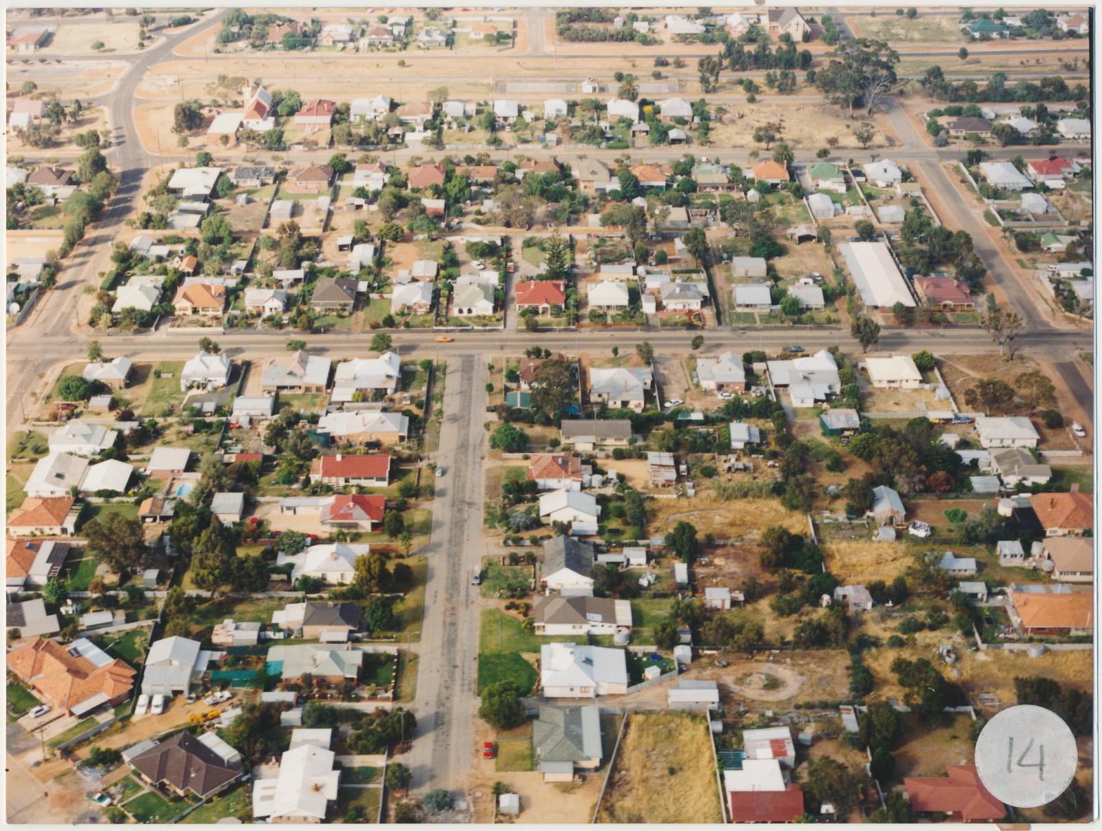
c. 1970Two coloured photographs which are glued together of aerial views of Katanning.
The photograph that has a sticker with the number thirteen shows Carew Street in the middle of the photograph running parallel to the bottom of the photograph. Beyond the trees in the background running parallel to Carew Street is Hassr Street with Pemble street coming off of it. Henry Street runs perpendicular to Carew street and turns left into Hassr Street. The first cul-del-sac in the bottom left hand corner is Conroy Street, and the other one above it is Short Street.
The photograph that has a sticker with the number fourteen shows the Great Southern Highway right in the background, the bitumen street in the centre is Clive Street.
Details
Details
Copyright and Reference
Copyright and Reference
Courtesy of Katanning Historical Society.
Other items from Katanning Historical Society
-
Aerial Photograph of Katanning
-
Aerial Photograph of Katanning
-
Aerial Photograph of Katanning
-
Aerial Photograph of Katanning
-
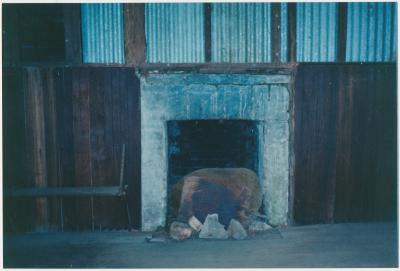
Interior view of Datatine Hall
-
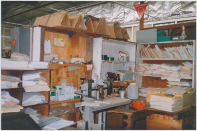
Great Southern Herald Office
-
Great Southern Herald Office
-
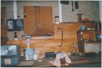
Great Southern Herald Office
-
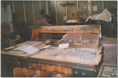
Great Southern Herald Office
-
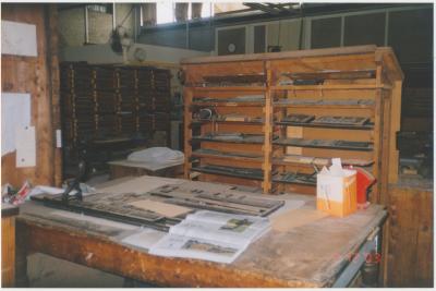
Great Southern Herald Office
-
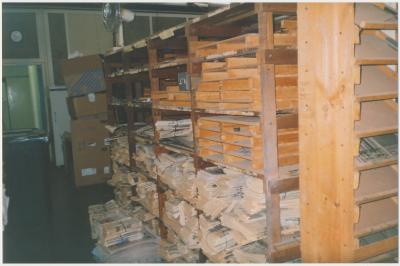
Great Southern Herald Office
-
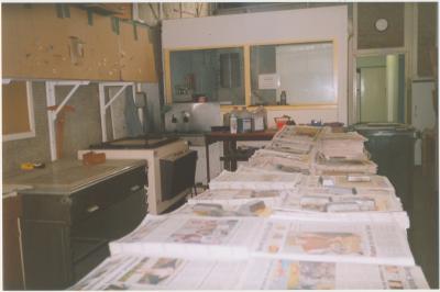
Great Southern Herald Office
Scan this QR code to open this page on your phone ->
