
SIGN ADVERTISING - MASTERPLAN - CHAMPION LAKES
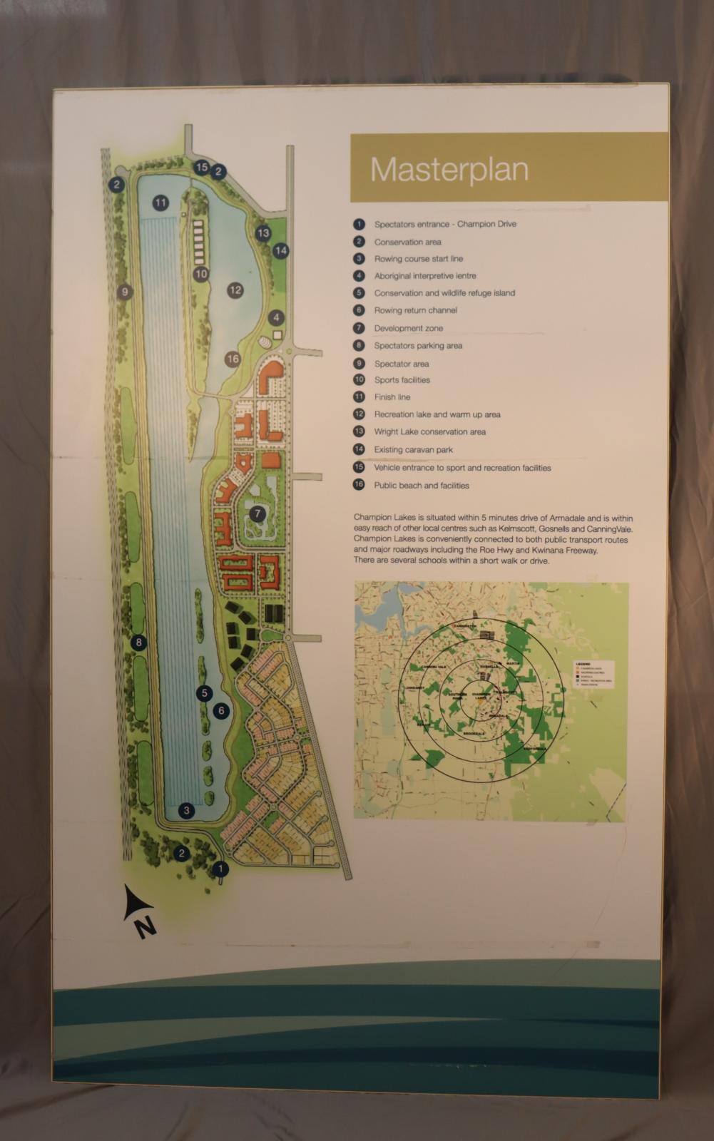
c. 2004A rectangular sheet of plastic attached to wood. Plastic around the edges of the wood. It is mostly white and light green, green and dark green across bottom. The left half of the picture shows the surrounding areas including residential areas, facilities and lakes and is numbered one to sixteen and marked with a north directional marker. The upper right half, text [MASTERPLAN] in white on ochre- coloured strip, text [SPECTATORS ENTRANCE-CHAMPION DRIVE], [CONSERVATION AREA], [ROWING COURSE START LINE], [ABORIGINAL INTERPRETIVE IENTRE], [CONSERVATION AND WILDLIFE REFUGE ISLAND], [ROWING RETURN CHANNEL], [DEVELOPMENT ZONE], [SPECTATORS PARKING AREA], [SPECTATOR AREA], [SPORTS FACILITIES], [FINISH LINE], [RECREATION LAKE AND WARM UP AREA], [WRIGHT LAKE CONSERVATION AREA], [EXISTING CARAVAN PARK], [VEHICLE ENTRANCE TO SPORT AND RECREATION FACILITIES], [PUBLIC BEACH AND FACILITIES]. It contains an explanation of how convenient Champion Lakes is in terms of transportation, along with a map of the area on the lower right half. The map has a target-like series of four concentric circle (four zones) marked on it.
To the right of the circles in the map's legend, labelled [LEGEND]. It contains;
A yellow square with text [CHAMPION LAKES],
An orange square with text [SHOPPING CENTRE],
A purple square with text [SCHOOLS],
A green square with text [PARKS/RECREATION AREA],
A green dot with text [TRAIN STATION].
In 2004 work started on Champion Lake, a new lake designed primarily for competative rowing. On the easten shore land was made available through the government agency Landcorp (in 2025 Development WA) for housing. Work started on the first major stage at the south eastern end of the lake in 2007 with the first homes being built the following year.
The development continued north along the lakes shore line with the next stage starting in 2014 and the last major stage starting in 2022.
This board displayed the development master plan and was located in the Landcorp Sales office located at 30 Dorney Esplanade. The board was removed in 2024 when the building was handed over to the local community.
Details
Details
The Champion Lakes signage boards are significant for their association with the planning, promotion and staged development of the Champion Lakes residential precinct in the early twenty-first century. Installed at the Landcorp sales office, the board formed part of the public-facing interpretation of a major government-led urban development linked to the creation of Champion Lake, which commenced in 2004 as a purpose-built facility for competitive rowing.
City of Armadale - History House
City of Armadale - History House
Other items from City of Armadale - History House
-
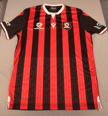
SHIRT - NATIONAL PREMIER LEAGUES 2022 - ARMADALE SOCCER CLUB
-
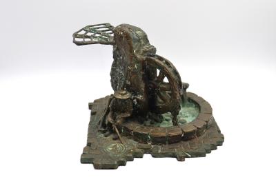
MAQUETTE - PIONEER'S REST BY OWN DAVIES
-
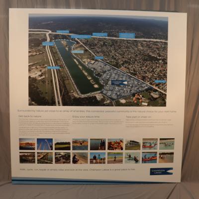
SIGN, ADVERTISING - CHAMPION LAKES
-
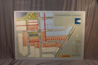
SIGN, ADVERTISING - MAP CHAMPION LAKES STAGE 2 RELEASE
-
JUG, WASH - EARTHENWARE WASHSTAND SET

-
BOWL, WASH - EARTHENWARE WASHSTAND SET

-
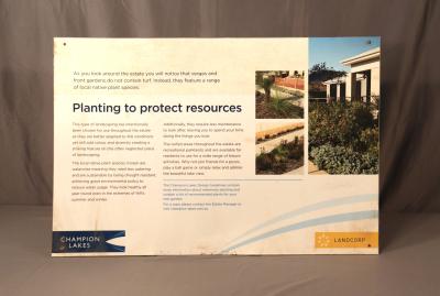
SIGN, "PLANTING TO PROTECT RESOURCES" GUIDELINES - CHAMPION LAKES
-
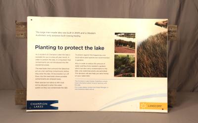
SIGN, "PLANTING TO PROTECT THE LAKE" GUIDELINES - CHAMPION LAKES
-
MAGNET, ADVERTORIAL - ALWAYS ELECTRICAL

-
MAGNET, ADVERTORIAL - ONES4TECH
-
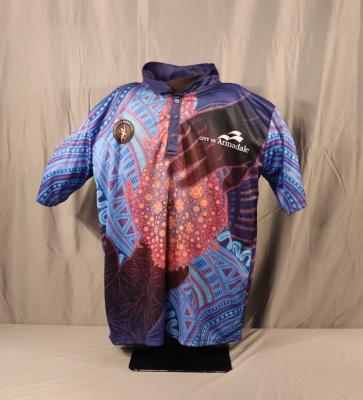
SHIRT, POLO - CITY OF ARMADALE, CELEBRATING NAIDOC WEEK
-
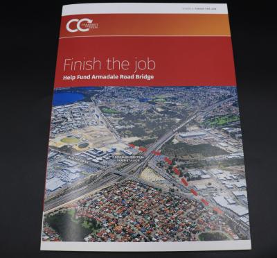
BROCHURE - "FINISH THE JOB / HELP FUND ARMADALE ROAD BRIDGE"
Scan this QR code to open this page on your phone ->
