
SIGN ADVERTISING - SEVILLE GROVE-RESIDENTIAL ESTATE MAP
2007 - 2024A rectangular sheet of plastic attached to wood. Plastic around the edges of the wood. Left third of the sign has three human-shaped markings (made of different shades of green) with a white background in the top corner and text [SEVILLE GROVE] directly below them. There's a light green, green, and white line painted under it. The remaining space below is the map's legend, explaining the markings on the map.
There is a black north arrow, and pictured beige rectangle text [AVAILABLE LOTS], beige rectangle with the asterisk mark text [DUPLEX POTENTIAL], cream rectangle text [EXISTING RESIDENTIAL], white rectangle text [FUTURE BUILT-FORM RELEASE], grey rectangle text [BRICK PAVING], brown rectangle with thin black line text [RETAINING WALL], red rectangle text [RAISED BRICK PAVING], cream street mark text [FOOTPATH], red rectangle text [RED ASPHALT], H mark text [HYDRANT], grey boxes text [SIDE ENTRY PIT], triangle mark text [VALVE], black square text [DRAINAGE GRATE], water drop mark text [WATER CORPORATION HOUSING CONNECTION], white circle bule mesh inside text [ DRAINAGE MANHOLE], D mark text [ DEFERRED SERVICE], the sun mark text [STREET LIGHT], grey square with orange lines text [ CROSSOVER], the sun mark with black lines text [1m x 1m STREET LIGHT ROAD WIDENING], N mark text [ FIBRE OPTIC CONNECTION], orange and grey stone squares with black lines text [ WESTERN POWER DOME & HOUSING CONNECTION], blue line text [ DRAINAGE LINE], yellow square with black lines text [ WESTERN POWER PADMOUNT SITE], black cercle with black lines text [ SEWER HOUSING CONECTION/MANHOLE], 15.27 text [ LOT LEVEL].
Below is a note of caution. The right two thirds consist of a road and housing map, with labelled streets. Text [HEBRIDES DRIVE], [APPLE LANE], [CLOANTRO PARKWAY], [VERDANT CRESCENT], [REDHEART WAY], [VINE WAY], [CLEOME LANE], [THRIVE TERRACE], [PEARTREE TERRACE]. The top left quarter of the map is made up of a park with a roundabout in it's corner. There are three red stickers on plots number 173, 174 & 215
In 2004 work started on Champion Lake, a new lake designed primarily for competitive rowing. On the eastern shore land was made available through the government agency Landcorp (in 2025 Development WA) for housing. Work started on the first major stage at the south eastern end of the lake in 2007 with the first homes being built the following year.
The development continued north along the lakes shore line with the next stage starting in 2014 and the last major stage starting in 2022.
This board displayed a part of the development that was located in neighbouring Seville Grove, south of the lake. This part of the development was flanked by Edinburgh Road, Hesketh Avenue, champion Drive and Blazer Way and started in 2004. The stage advertised on this panel started in 2007.
The board promoting the Seville Grove Residential development was located in the Landcorp Sales office located at 30 Dorney Esplanade. The board was removed in 2024 when the building was handed over to the local community.
Details
Details
The Champion Lakes signage boards are significant for their association with the planning, promotion and staged development of the Champion Lakes residential precinct in the early twenty-first century. Installed at the Landcorp sales office, the board formed part of the public-facing interpretation of a major government-led urban development linked to the creation of Champion Lake, which commenced in 2004 as a purpose-built facility for competitive rowing.
City of Armadale - History House
City of Armadale - History House
Other items from City of Armadale - History House
-
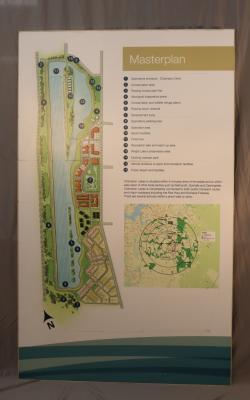
SIGN ADVERTISING - MASTERPLAN - CHAMPION LAKES
-
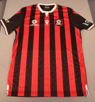
SHIRT - NATIONAL PREMIER LEAGUES 2022 - ARMADALE SOCCER CLUB
-
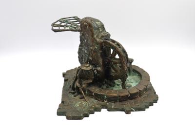
MAQUETTE - PIONEER'S REST BY OWN DAVIES
-
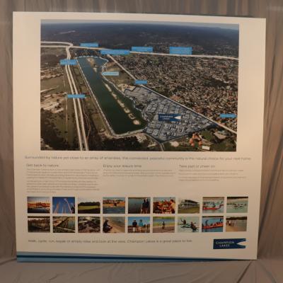
SIGN, ADVERTISING - CHAMPION LAKES
-
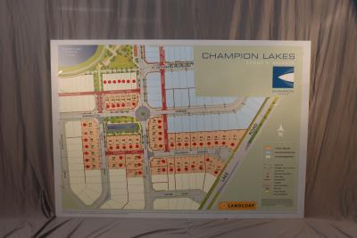
SIGN, ADVERTISING - MAP CHAMPION LAKES STAGE 2 RELEASE
-
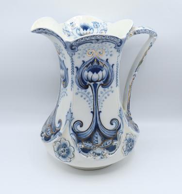
JUG, WASH - EARTHENWARE WASHSTAND SET
-
BOWL, WASH - EARTHENWARE WASHSTAND SET

-
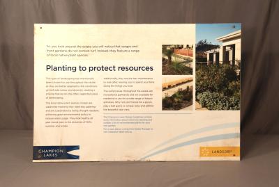
SIGN, "PLANTING TO PROTECT RESOURCES" GUIDELINES - CHAMPION LAKES
-
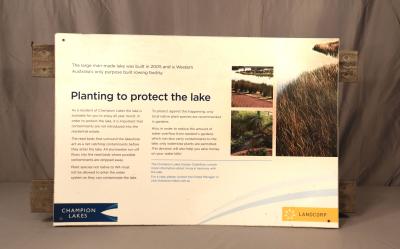
SIGN, "PLANTING TO PROTECT THE LAKE" GUIDELINES - CHAMPION LAKES
-
MAGNET, ADVERTORIAL - ALWAYS ELECTRICAL
-
MAGNET, ADVERTORIAL - ONES4TECH

-
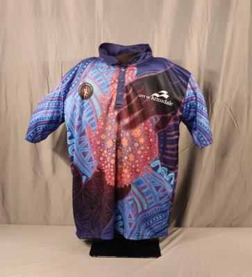
SHIRT, POLO - CITY OF ARMADALE, CELEBRATING NAIDOC WEEK
![Rectangular. Sheet of plastic attached to wood. Plastic around the edges of the wood. Left third is three of green and light green human-shaped markings above the left corner with white background and text [SEVILLE GROVE]. There's a light green, green, and white line painted under it. Left two third explains the markings on the map with light green background.](/sites/default/files/styles/large/public/2026-07/PCOA2025.13.JPG?itok=L9K7H8EP)
There is a black north arrow, and pictured beige rectangle text [AVAILABLE LOTS], beige rectangle with the asterisk mark text [DUPLEX POTENTIAL], cream rectangle text [EXISTING RESIDENTIAL], white rectangle text [FUTURE BUILT-FORM RELEASE], grey rectangle text [BRICK PAVING], brown rectangle with thin black line text [RETAINING WALL], red rectangle text [RAISED BRICK PAVING], cream street mark text [FOOTPATH], red rectangle text [RED ASPHALT], H mark text [HYDRANT], grey boxes text [SIDE ENTRY PIT], triangle mark text [VALVE], black square text [DRAINAGE GRATE], water drop mark text [WATER CORPORATION HOUSING CONNECTION], white circle bule mesh inside text [ DRAINAGE MANHOLE], D mark text [ DEFERRED SERVICE], the sun mark text [STREET LIGHT], grey square with orange lines text [ CROSSOVER], the sun mark with black lines text [1m x 1m STREET LIGHT ROAD WIDENING], N mark text [ FIBRE OPTIC CONNECTION], orange and grey stone squares with black lines text [ WESTERN POWER DOME & HOUSING CONNECTION], blue line text [ DRAINAGE LINE], yellow square with black lines text [ WESTERN POWER PADMOUNT SITE], black cercle with black lines text [ SEWER HOUSING CONECTION/MANHOLE], 15.27 text [ LOT LEVEL].
Below is a note of caution. The right two thirds consist of a road and housing map, with labelled streets. Text [HEBRIDES DRIVE], [APPLE LANE], [CILANTRO PARKWAY], [VERDANT CRESCENT], [REDHEART WAY], [VINE WAY], [CLEOME LANE], [THRIVE TERRACE], [PEARTREE TERRACE]. The top left quarter of the map is made up of a park with a roundabout in it's corner. There are three red stickers on plots number 173, 174 & 215
Scan this QR code to open this page on your phone ->
